Curated by PaddleWays
RouteClass I–II
- Distance
- 3.3 mi
- Paddle time
- 3.5 hrs
- Put-in → take-out
- Mooney Dam County Park
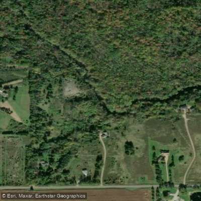
The Little Eau Pleine River is a small but engaging waterway located in central Wisconsin. It originates in Marathon County and flows generally southwest, eventually joining the Wisconsin River. While the full length of the river is not well documented, it traverses through a mix of forested and agricultural landscapes typical of the region.
The river offers paddlers a range of experiences, with its character changing dramatically along its course. The upper reaches upstream of Highway C are a small creek with limited navigability. This section likely provides a more wilderness-like experience but may pose challenges due to low water levels and potential obstacles.
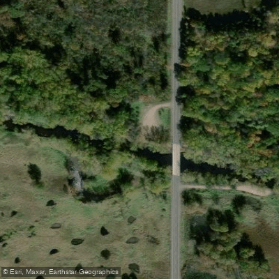
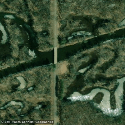
The highlight of the Little Eau Pleine is undoubtedly its middle section, particularly the 3.5-mile stretch from Highway 97/T to Mann Street/River Road. This segment stands out for its exciting Class II-III whitewater, featuring fun rapids coursing through a narrow, twisting channel surrounded by dense woods and attractive boulder gardens. The intimate nature of the river here, combined with technical aspects like occasional scraping and river splits due to log jams and small islands, creates an engaging paddling environment.
Paddlers tackling the whitewater section should be prepared for an intermediate-level experience. The relatively short length makes it an excellent option for a quick day trip. However, the technical nature of the run demands solid boat control and the ability to read water effectively. The best paddling times are likely during spring runoff or after significant rainfall events, as water levels can fluctuate considerably. Paddlers should always check current conditions before setting out.
Wildlife viewing opportunities may be abundant along the more secluded stretches, though specific flora and fauna are not well-documented. The forested banks and boulder gardens contribute to the scenic value of the river.
Access points are limited, with the main put-in at Highway 97/T and take-out at Mann Street/River Road. The nearest significant town is likely Marshfield, located to the south of the river's course.
Safety considerations include being prepared for occasional scraping, navigating around log jams, and managing the Class II-III rapids in the middle section. As with many smaller rivers, water levels can change rapidly, so paddlers should be vigilant and prepared for varying conditions.
While multi-day trips are not typically associated with the Little Eau Pleine due to its size, the river offers an excellent day-trip option for whitewater enthusiasts looking to explore one of central Wisconsin's hidden paddling gems.
Curated routes
Hand-picked by the PaddleWays team, with put-ins, take-outs, paddle times and the hazards along the way.
RouteClass I–II
Hazards
No paddler has reported a hazard here yet, so these are the dams, falls and big rapids on our map. Hazards change with flows and storms, so check them before you launch.
From the community
Nobody has shared a trip on Little Eau Pleine River yet. Paddle it, then tell the next paddler how it went.
See exactly where the public can get on and off the river. Launch points and boat ramps are paired with PaddleWays' public land data so you know where you can legally land.
Public shoreline
43%of the river's shoreline is public
Most of the riverbank is private. Launch, land and camp only at public access points.
Flows, weather and a route-by-route verdict, so you know which stretch of the Little Eau Pleine River is worth paddling today.
No forecast data available.
Live flows, marked hazards and fresh trip reports from paddlers who were just on the water, all in one place.





Every user gets free access to launch points, boat ramps, and public property parcels.
Loading popular cities...
PaddleWays gives you everything you need to plan smarter, paddle better, and own every trip from first launch to takeout.