Curated by PaddleWays
RouteClass I–II
- Distance
- 5.8 mi
- Paddle time
- ~2 hrs
- Put-in → take-out
- Pine River Flowage Boat Ramp → Pine River Boat Ramp
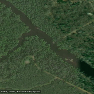
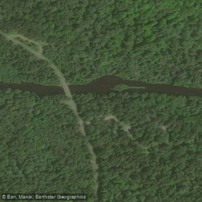
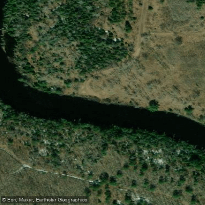
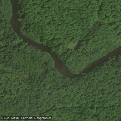
The Pine River originates in Forest County, Wisconsin, where its north and south branches converge near Highway 55 to form the main stem. From this junction, the river flows approximately 60 miles eastward through the Nicolet National Forest, crossing into Florence County before ultimately joining the Menominee River. The river drops roughly 550 feet over its course, creating a dynamic waterway that alternates between tranquil meanders through boreal wetlands and exhilarating descents over ancient Precambrian bedrock.
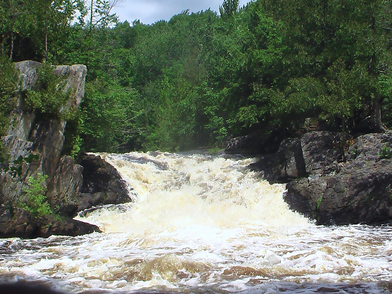
Paddling opportunities span the full spectrum of skill levels. The upper sections between Highway 55 and Highway 139 offer 16 miles of intimate creek paddling with Class I-II rapids interspersed with quietwater stretches. Downstream from Highway 139 to Chipmunk Rapids Campground, the river widens slightly and maintains a gentler character suitable for intermediate paddlers. The segment from Chipmunk Rapids to Goodman Grade presents the river's wild heart—here, Snake Tail Rapids delivers a half-mile of technical Class II-III boulder gardens, followed by the formidable Class III Meyers Falls. Below Goodman Grade, Bull Falls adds another challenging Class II-III drop. The river's most dramatic section lies between Highway 101 and the Pine River Flowage, where LaSalle Falls plunges 22 feet and Breakwater Falls cascades 45 feet over three tiers, both requiring mandatory portages.
Skill requirements range from beginner-friendly flatwater on the lower Pine below the dam to advanced whitewater expertise for sections containing Meyers Falls and the gorge below LaSalle Falls. Spring runoff from April through May provides optimal water levels, though the lower river maintains paddleable flows into summer. Water levels are notoriously fickle on upper sections—paddlers should consult the USGS gauge on the nearby Popple River or contact the Wild Rivers Interpretive Center in Florence at 1-888-889-0049.
The river corridor supports classic northern Wisconsin flora: white and red pine, hemlock, white cedar, black spruce, and tamarack dominate the canopy, while sugar maple and yellow birch populate upland areas. Wildlife sightings commonly include white-tailed deer, black bear, river otter, beaver, bald eagles, ospreys, common mergansers, and various warbler species.
Notable landmarks include the natural rock formations at Pier Natural Bridge Park near Rockbridge, the granite outcrops throughout the Wild Rivers section, and the extensive Spread Eagle Barrens downstream from the dam. The 1965 Wisconsin Wild Rivers Act protects much of the Pine's corridor, limiting development within 150 feet of the riverbanks.
Primary access points include Highway 55 (Alvin), Highway 139 (Tipler), Chipmunk Rapids Campground (Long Lake), Goodman Grade, Highway 101, and County Road N (Florence). The nearest towns are Crandon in Forest County and Florence in Florence County. Multi-day expeditions are feasible, with primitive camping opportunities along Wild Rivers sections and developed campgrounds at Chipmunk Rapids, Lost Lake, and Stevens Lake. A complete descent from Highway 55 to the Menominee River covers approximately 60 miles and requires 3-4 days, including portages around major waterfalls and the Pine River Dam.
Curated routes
Hand-picked by the PaddleWays team, with put-ins, take-outs, paddle times and the hazards along the way.
RouteClass I–II
RouteClass I–II
Hazards
No paddler has reported a hazard here yet, so these are the dams, falls and big rapids on our map. Hazards change with flows and storms, so check them before you launch.
From the community
Nobody has shared a trip on Pine River yet. Paddle it, then tell the next paddler how it went.
See exactly where the public can get on and off the river. Launch points and boat ramps are paired with PaddleWays' public land data so you know where you can legally land.
Public shoreline
84%of the river's shoreline is public
Flows, weather and a route-by-route verdict, so you know which stretch of the Pine River is worth paddling today.
Live flows, marked hazards and fresh trip reports from paddlers who were just on the water, all in one place.





Every user gets free access to launch points, boat ramps, and public property parcels.

Loading popular cities...
PaddleWays gives you everything you need to plan smarter, paddle better, and own every trip from first launch to takeout.