Curated by PaddleWays
RouteClass II–III
- Distance
- 2.1 mi
- Paddle time
- ~0.5 hrs
- Put-in → take-out
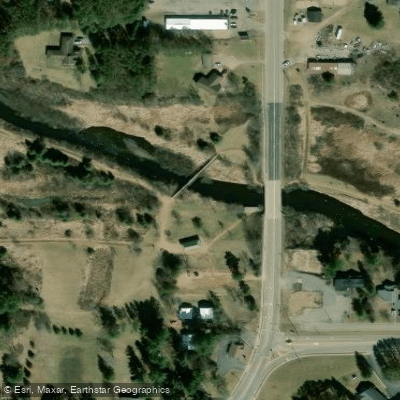
- Prairie River Boat Ramp → Shady Lane Ave
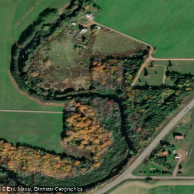
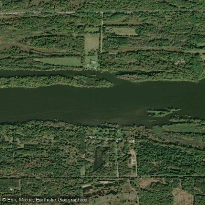
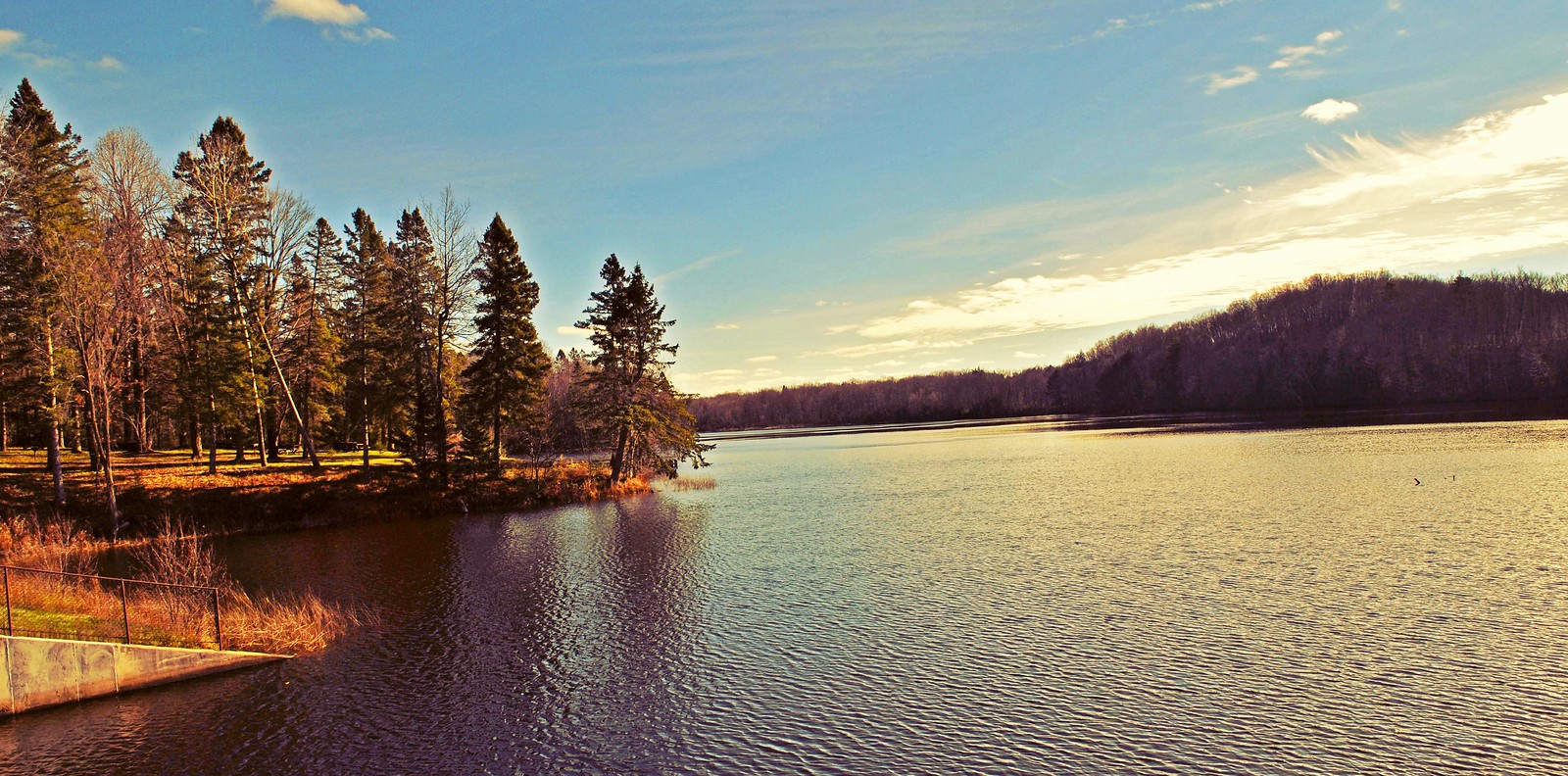
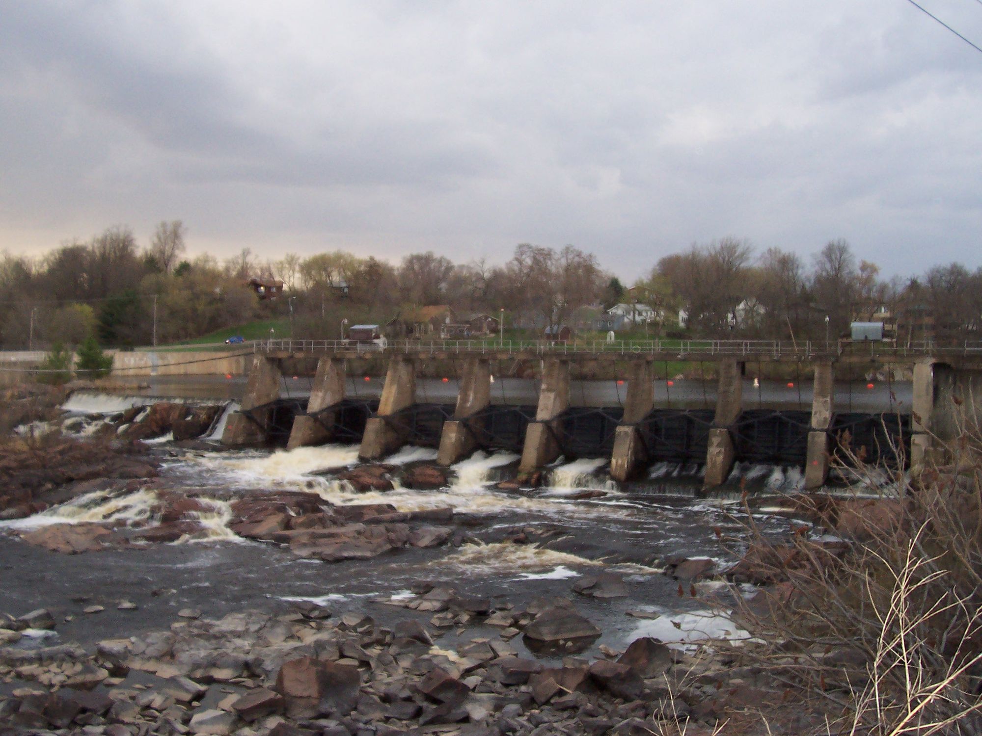
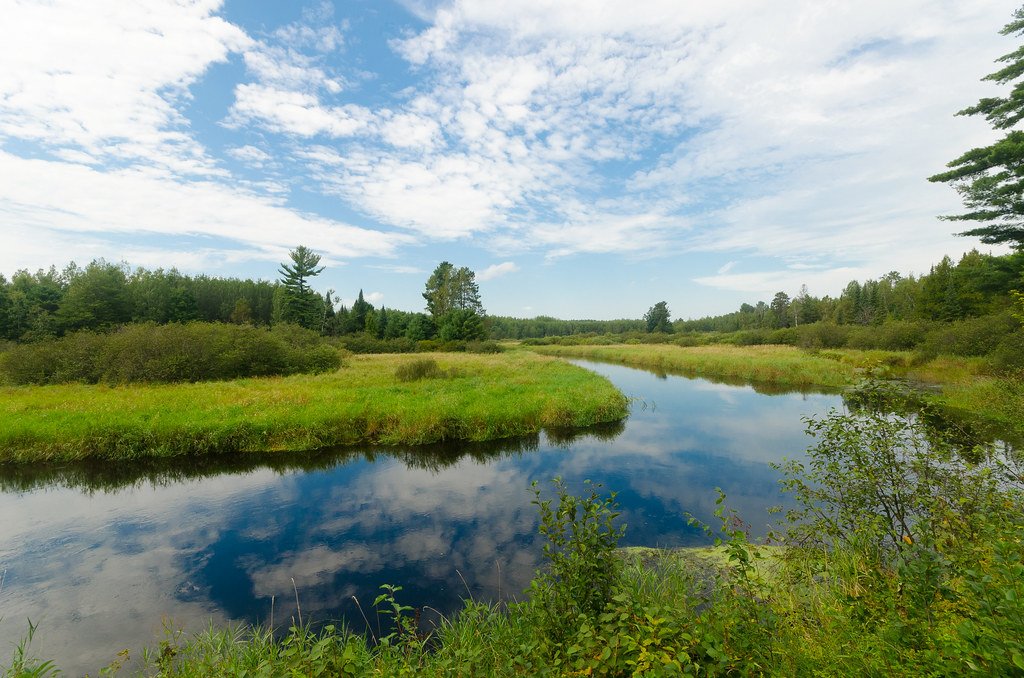
The Prairie River is a picturesque waterway in north-central Wisconsin, originating in a small lake in northwestern Langlade County. It flows southwest for approximately 40 miles through a varied landscape of forests, farms, and wetlands before joining the Wisconsin River in the city of Merrill, Lincoln County. The river offers several distinct paddling sections, ranging from swift, narrow stretches in its upper reaches to wider, calmer flows as it nears Merrill. A highlight for many paddlers is the Prairie Dells section, featuring a long stretch of rapids through scenic rocky gorges. This section, running from the old Highway 17 bridge to Shady Lane Avenue, is popular among experienced whitewater enthusiasts.
Overall, the Prairie River's difficulty ranges from Class I to III, with the most challenging rapids found in the Prairie Dells. Paddlers should have solid boat control and whitewater experience for the more difficult sections. The river is best paddled in spring or after heavy rains when water levels are higher, typically from April through June.
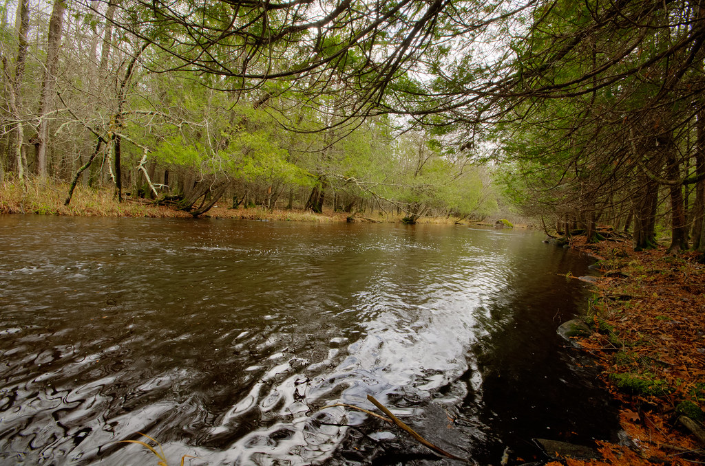
The river corridor supports a diverse ecosystem, with long stretches lined by tag alders. Wildlife sightings may include deer, otters, and various bird species. Trout fishing is popular in the upper reaches.
Key landmarks include Prairie Trails Park in Merrill, which offers a convenient lunch stop and take-out point about halfway through the lower section. The park features a boat landing and is close to local amenities. Popular access points include County Road J and County Road C for longer trips, while shorter runs often utilize put-ins at Heineman Road or the old Highway 17 bridge. The city of Merrill serves as the primary nearby urban center, with Stange's Park offering a common take-out point at the river's end.
Historically, the Prairie River played a role in the logging industry that shaped northern Wisconsin's development. Today, it serves as a recreational asset for the region, attracting paddlers, anglers, and nature enthusiasts.
Safety considerations include being prepared for sudden water level changes and understanding the locations of challenging rapids, particularly in the Prairie Dells section. Local regulations should be observed, especially regarding fishing licenses and seasonal restrictions.
While most trips on the Prairie River are day excursions, its connection to the Wisconsin River opens up possibilities for longer, multi-day adventures for experienced paddlers willing to plan carefully and camp along the route.
Curated routes
Hand-picked by the PaddleWays team, with put-ins, take-outs, paddle times and the hazards along the way.
RouteClass II–III
RouteClass I–II
RouteClass I–II
Hazards
No hazards are marked on Prairie River yet. That is not the same as none being there: if you find one, report it for the next paddler.
From the community
Nobody has shared a trip on Prairie River yet. Paddle it, then tell the next paddler how it went.
See exactly where the public can get on and off the river. Launch points and boat ramps are paired with PaddleWays' public land data so you know where you can legally land.
Public shoreline
48%of the river's shoreline is public
Most of the riverbank is private. Launch, land and camp only at public access points.
Flows, weather and a route-by-route verdict, so you know which stretch of the Prairie River is worth paddling today.
Live flows, marked hazards and fresh trip reports from paddlers who were just on the water, all in one place.





Every user gets free access to launch points, boat ramps, and public property parcels.
Loading popular cities...
PaddleWays gives you everything you need to plan smarter, paddle better, and own every trip from first launch to takeout.