Curated by PaddleWays
RouteClass I–II
- Distance
- 0.6 mi
- Paddle time
- ~0.5 hrs
- Best for
- Experienced paddlers
- Put-in → take-out
- Bridge Road → Spirit Falls Avenue
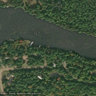
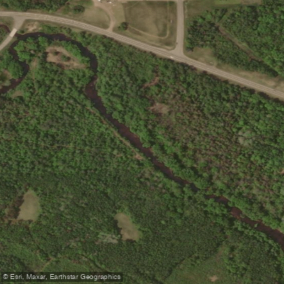
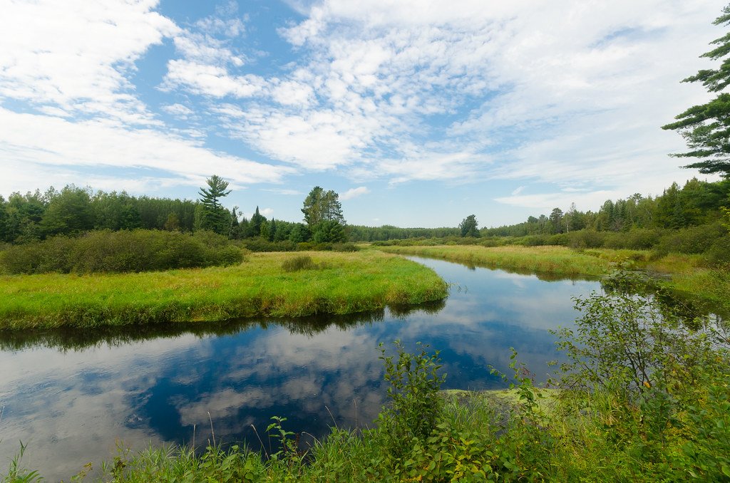
The Spirit River is a small but diverse waterway located in north-central Wisconsin. Originating in Price County, it flows southwest for approximately 30 miles before joining the Wisconsin River in Lincoln County, just downstream of Lake Mohawksin. The river's primary tributary is Squaw Creek, which enters near Spirit Falls Avenue.
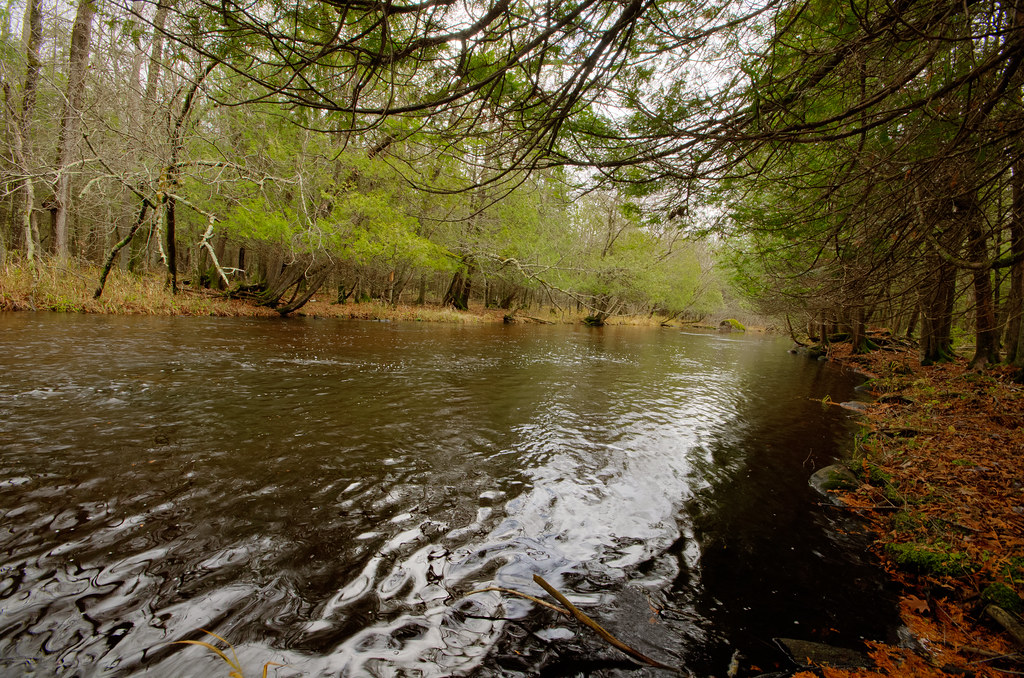
Paddling opportunities on the Spirit River range from intimate creek-like sections to more open flatwater on the Spirit River Flowage. The upper reaches above Highway 86 offer technical creek boating suitable for experienced paddlers comfortable navigating narrow, shallow waterways. Downstream, the river widens slightly, with a notable 0.7-mile section from Bridge Road to Spirit Falls Avenue providing Class II rapids.
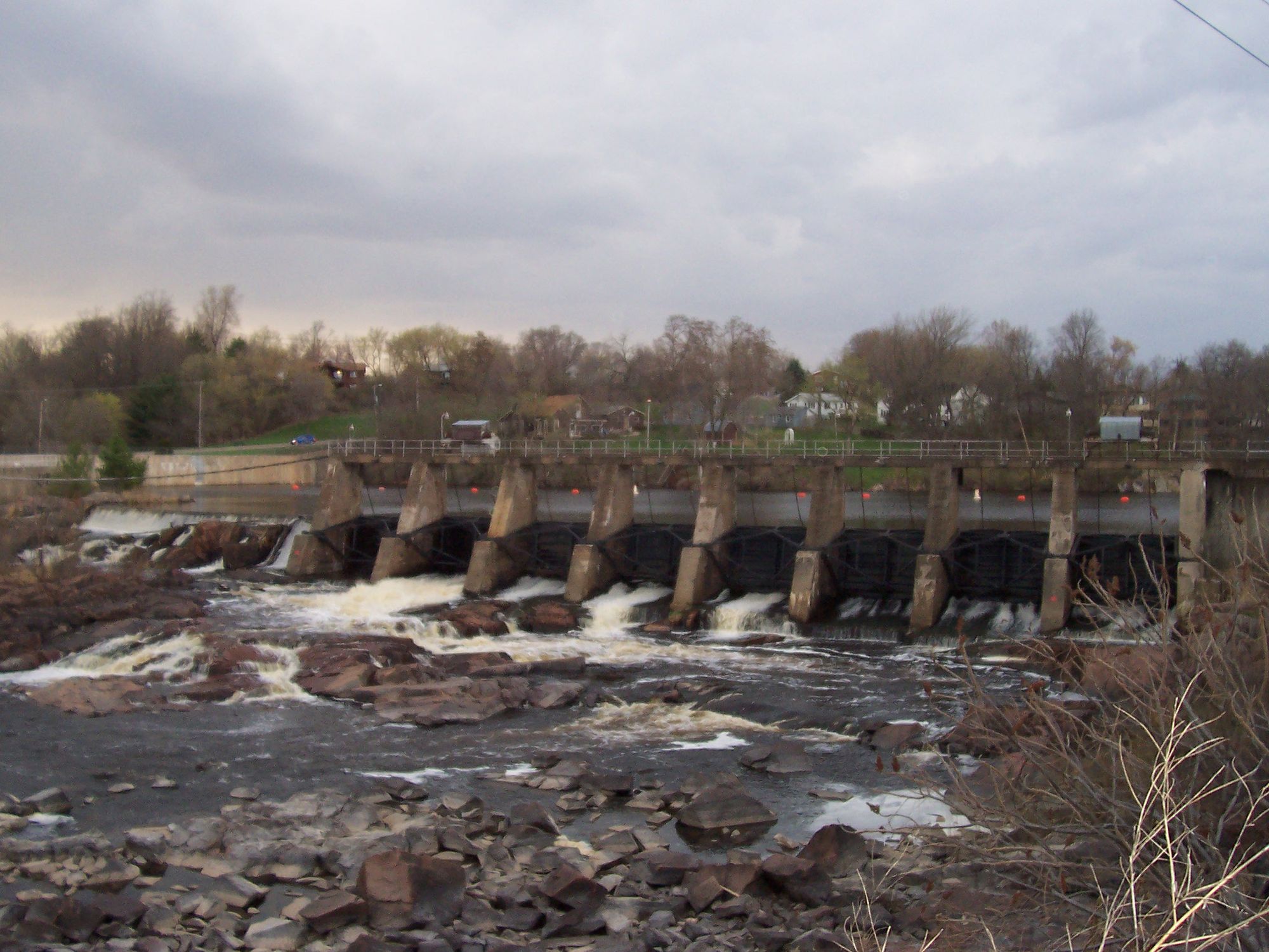
The river's centerpiece is Spirit Falls, a short but intense Class IV-V drop located just upstream of Spirit Falls Avenue. This 0.2-mile section features a waterfall and rocky terrain, attracting skilled whitewater kayakers. Below Spirit Falls, the river transitions to Class II rapids before eventually being backfilled by the Spirit River Flowage.
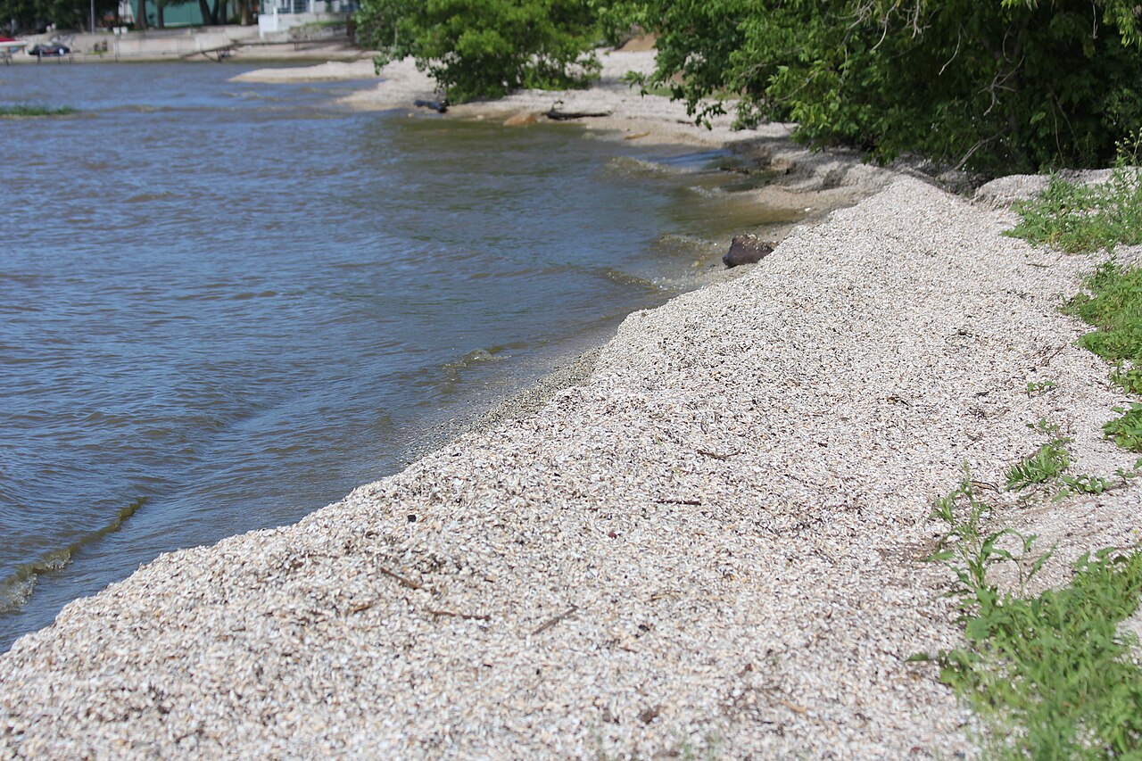
The 1,220-acre Spirit River Flowage offers excellent flatwater paddling and fishing opportunities. Anglers can target musky, panfish, bass, northern pike, and walleye in this scenic impoundment.
Seasonal patterns greatly affect paddling conditions. Spring and fall typically offer the best water levels for running the river sections, while summer sees lower flows and increased flatwater conditions as the flowage backfills the lower river. Winter ice cover limits paddling to the warmer months.
Access points are somewhat limited but include Bridge Road, Spirit Falls Avenue, and public boat landings on the Spirit River Flowage. The nearest towns are Tomahawk and Merrill.
Safety considerations include scouting Spirit Falls before attempting, as water levels can significantly impact its difficulty. Paddlers should be aware of potential strainers and log jams, especially in the upper creek-like sections.
While not a premier destination for multi-day trips, the Spirit River offers a variety of paddling experiences within a relatively short distance. From technical creekboating to thrilling falls and peaceful flatwater, it provides a microcosm of north-central Wisconsin's river environments.
Curated routes
Hand-picked by the PaddleWays team, with put-ins, take-outs, paddle times and the hazards along the way.
RouteClass I–II
RouteClass I–II
Hazards
No paddler has reported a hazard here yet, so these are the dams, falls and big rapids on our map. Hazards change with flows and storms, so check them before you launch.
From the community
Nobody has shared a trip on Spirit River yet. Paddle it, then tell the next paddler how it went.
See exactly where the public can get on and off the river. Launch points and boat ramps are paired with PaddleWays' public land data so you know where you can legally land.
Public shoreline
21%of the river's shoreline is public
Most of the riverbank is private. Launch, land and camp only at public access points.
Flows, weather and a route-by-route verdict, so you know which stretch of the Spirit River is worth paddling today.
Live flows, marked hazards and fresh trip reports from paddlers who were just on the water, all in one place.





Every user gets free access to launch points, boat ramps, and public property parcels.
Loading popular cities...
PaddleWays gives you everything you need to plan smarter, paddle better, and own every trip from first launch to takeout.