Curated by PaddleWays
RouteClass I
- Distance
- 1 mi
- Paddle time
- ~0.5 hrs
- Put-in → take-out
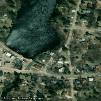
- Highway 161 (Loberg Road) → 1st Street Bridge near Nelsonville Mill
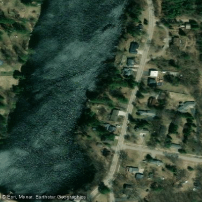
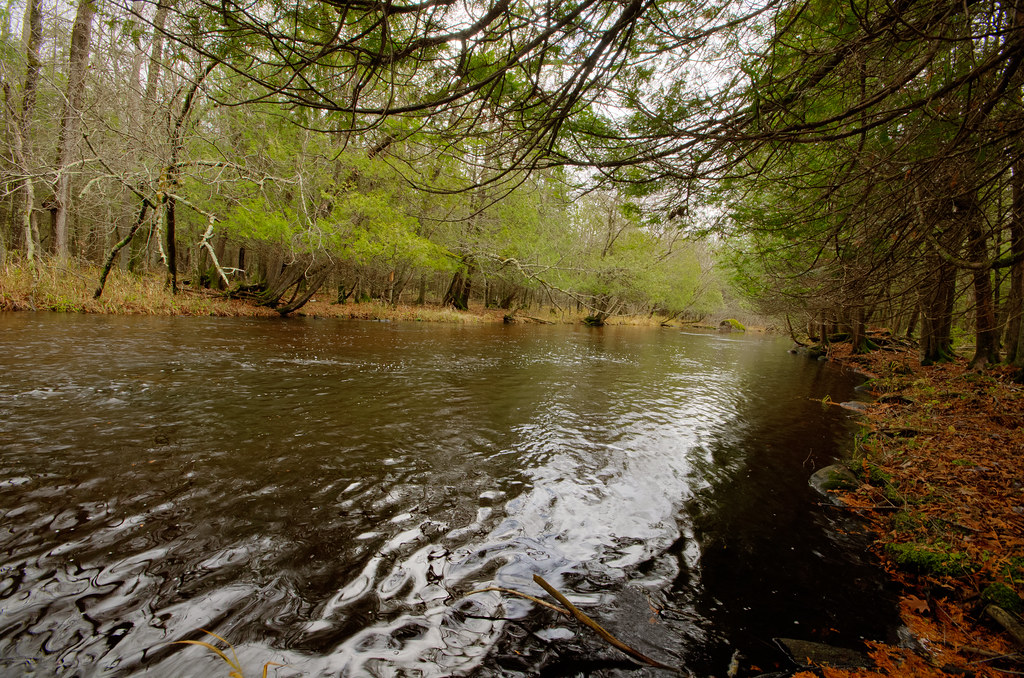
The Tomorrow River flows through central Wisconsin's gentle hills in Portage and Waupaca Counties, beginning as a small, clear-water stream near Nelsonville and flowing southeast through Amherst before transitioning into the Waupaca River. This intimate waterway is characterized by crystal-clear water, attractive gravel substrate, and a lively current that creates an endearing paddling experience despite its modest size—often described more accurately as an oversized creek than a traditional river.
The river offers approximately 15 miles of paddleable water from its uppermost accessible point at Clementson Road down to where it meets the Waupaca River system. The gradient averages 2.5-2.7 feet per mile, creating a pleasant flow with riffles and occasional Class I-II rapids, particularly in the sections downstream from Amherst. Paddlers encounter three distinct river personalities: the narrow, wooded upper reaches near Nelsonville; the wider, more open terrain through the Amherst millpond; and the boulder-studded, faster-flowing sections below the Amherst Dam.
The most popular section extends from County Road Q (Rolling Hills Road) in Nelsonville to Cate County Park, a 5.5-mile stretch showcasing the river's finest attributes. The historic Rising Star Mill at the 1st Street Bridge in Nelsonville serves as the most common put-in, offering excellent access and a glimpse into the area's milling heritage. Downstream from the Amherst Dam, the character shifts dramatically—the Buchholz Road to Stedman Park section delivers narrow, fast, rocky paddling with impressive boulder gardens and light rapids that challenge intermediate paddlers.
Skill requirements range from beginner-friendly flatwater in the upper sections to intermediate-level maneuvering around boulders and through rapids below Amherst. The river's shallow nature means adequate water levels are essential; the Waupaca gauge (located downstream) provides reference, though paddlers should expect minimal water depth even at reasonable levels. Spring through early fall offers the most reliable conditions, with summer potentially bringing weedy conditions in the Amherst millpond.
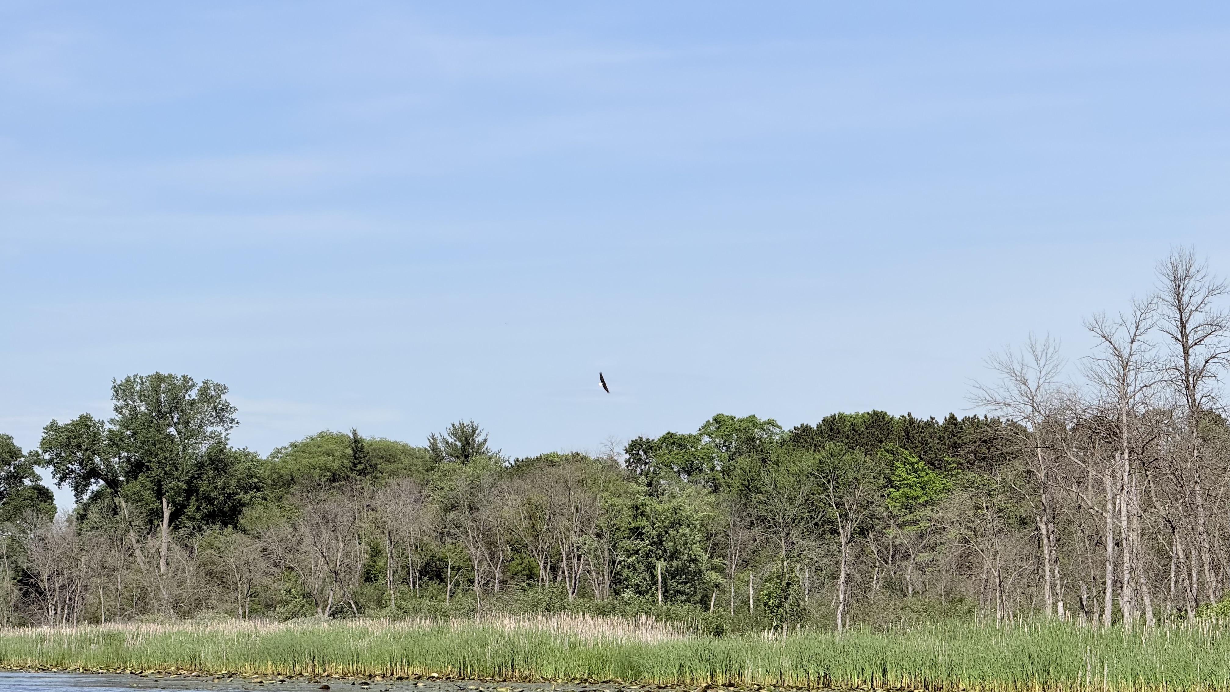
Wildlife sightings include great blue herons, deer, muskrats, trout, and various waterfowl. The river serves as a designated trout stream with special regulations from the Amherst Dam upstream to Clementson Road, requiring artificial lures and specific length limits.
Access points include Clementson Road, Highway Q, Highway 161 (Loberg Road), the 1st Street Bridge in Nelsonville, Nelson Park in Amherst, Buchholz Road, Otto Road, Highway T, Stedman Park (County Highway DD), Durant Road, and Cobbtown Road. The Tomorrow River State Trail parallels portions of the waterway, offering bike shuttle opportunities. Highway 10's proximity to certain sections creates audible intrusion, though the river's intimate charm and water clarity remain its defining characteristics.
Curated routes
Hand-picked by the PaddleWays team, with put-ins, take-outs, paddle times and the hazards along the way.
RouteClass I
RouteClass I
RouteClass I–II
RouteClass I–II
Hazards
No paddler has reported a hazard here yet, so these are the dams, falls and big rapids on our map. Hazards change with flows and storms, so check them before you launch.
From the community
Nobody has shared a trip on Tomorrow River yet. Paddle it, then tell the next paddler how it went.
See exactly where the public can get on and off the river. Launch points and boat ramps are paired with PaddleWays' public land data so you know where you can legally land.
Public shoreline
22%of the river's shoreline is public
Most of the riverbank is private. Launch, land and camp only at public access points.
Flows, weather and a route-by-route verdict, so you know which stretch of the Tomorrow River is worth paddling today.
Live flows, marked hazards and fresh trip reports from paddlers who were just on the water, all in one place.





Every user gets free access to launch points, boat ramps, and public property parcels.
Loading popular cities...
PaddleWays gives you everything you need to plan smarter, paddle better, and own every trip from first launch to takeout.