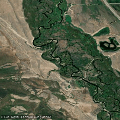
Curated by PaddleWays
RouteFlatwater
- Distance
- 3.7 mi
- Paddle time
- ~1 hr
- Put-in → take-out
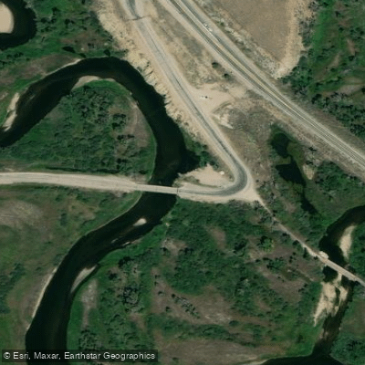
- Remmick Boat Ramp → HWY 351 BLM access
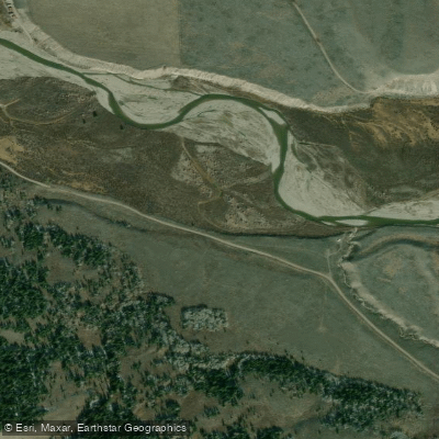
The New Fork River, a major tributary of the Green River, flows entirely within Sublette County, Wyoming. This scenic waterway stretches approximately 70 miles from its headwaters near New Fork Lakes in the Bridger-Teton National Forest to its confluence with the Green River east of Big Piney. The river's character is defined by its peaceful and intimate nature, meandering through a diverse landscape of grassy meadows, ranch lands, sagebrush benches, and beneath looming bluffs.
Paddling opportunities on the New Fork River primarily begin near Pinedale, where the river becomes navigable enough for floating. The Wyoming Game and Fish Department has established several public access points along the river, allowing for a variety of trip lengths and experiences. Popular sections include the stretch from Pinedale to the Green River confluence, as well as shorter segments like the Airport to East Fork Confluence and the Remmick to Highway 351 float.
The New Fork River is generally classified as flatwater to Class II, making it suitable for paddlers of various skill levels. Beginners can enjoy the calm stretches, while more experienced paddlers might find some mild rapids to navigate, particularly in the upper sections. The river's gentle nature makes it an excellent choice for scenic floats, fishing trips, and relaxed multi-day adventures.
The best time to paddle the New Fork River is typically from late spring through early fall, with summer offering the most reliable water levels and pleasant weather conditions. However, paddlers should always check current water levels and conditions before planning their trip, as spring runoff can create higher, faster flows, while late summer might see lower water levels in some sections.
Wildlife enthusiasts will appreciate the diverse ecosystem along the New Fork River. The area is home to various bird species, including waterfowl and raptors. Larger mammals such as moose, deer, and occasionally bears can be spotted along the banks. The river and its surroundings also support a rich variety of plant life typical of Wyoming's high desert and mountain environments.
Pinedale serves as the primary gateway town for New Fork River adventures, offering amenities, supplies, and local expertise for paddlers. Other access points, such as Boulder and the Highway 351 bridge, provide additional options for put-ins and take-outs. The river passes through a mix of public and private lands, so paddlers should be aware of property boundaries and respect private property.
Historically, the New Fork River played a role in the region's early exploration and settlement, serving as a water source and transportation route for Native Americans and later for fur trappers and settlers. Today, it remains an important resource for local agriculture and recreation.
Safety considerations on the New Fork River include being prepared for changing weather conditions, as Wyoming's climate can be unpredictable. Paddlers should also be aware of potential obstacles such as low-hanging branches or submerged rocks, especially in lower water conditions. As always, wearing a personal flotation device is essential.
For those seeking a multi-day adventure, the full 70-mile journey from near Pinedale to the Green River confluence offers an immersive experience of Wyoming's beautiful landscape. This trip typically takes 3-5 days, depending on water levels and paddling pace, and allows for ample time to fish, observe wildlife, and camp along the river's banks.
The New Fork River stands out as a gem among Wyoming's waterways, offering a perfect blend of accessibility, scenic beauty, and diverse paddling opportunities for those looking to explore the natural wonders of the Cowboy State.
Curated routes
Hand-picked by the PaddleWays team, with put-ins, take-outs, paddle times and the hazards along the way.
RouteFlatwater
RouteFlatwater
RouteFlatwater
RouteFlatwater
RouteClass I–II
Hazards
No paddler has reported a hazard here yet, so these are the dams, falls and big rapids on our map. Hazards change with flows and storms, so check them before you launch.
From the community
Nobody has shared a trip on New Fork River yet. Paddle it, then tell the next paddler how it went.
David Q. •
early spring is goo d
See exactly where the public can get on and off the river. Launch points and boat ramps are paired with PaddleWays' public land data so you know where you can legally land.
Public shoreline
36%of the river's shoreline is public
Most of the riverbank is private. Launch, land and camp only at public access points.
Flows, weather and a route-by-route verdict, so you know which stretch of the New Fork River is worth paddling today.
All Flow Stations
Live flows, marked hazards and fresh trip reports from paddlers who were just on the water, all in one place.





Every user gets free access to launch points, boat ramps, and public property parcels.
Loading popular cities...
PaddleWays gives you everything you need to plan smarter, paddle better, and own every trip from first launch to takeout.