South Fork Shoshone River
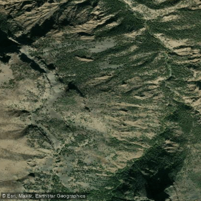
South Fork Shoshone River
- Boat Ramps
- 1
- Access Points
- 6
- Campsites
- 3
The South Fork Shoshone River originates high in Wyoming's Absaroka Mountains, flowing northward through rugged terrain before joining the North Fork to form the main stem of the Shoshone River. This scenic waterway drains a significant portion of northwestern Wyoming, eventually emptying into Buffalo Bill Reservoir west of Cody. Paddlers can experience a range of whitewater on the South Fork, from calm stretches to challenging rapids.
The river offers several notable sections, including the 13-mile East Fork Creek to Trailhead run (Class II-IV), the 18-mile Bobcat Houlihan Access to Wapiti stretch (Class II-IV), and a 4.5-mile Class II section perfect for beginners. More advanced paddlers can tackle the 8-mile Buffalo Bill Reservoir to Newton Creek run, featuring Class II-IV rapids. The overall difficulty ranges from Class I to IV, with some sections potentially reaching Class V during high water. Intermediate to advanced skills are recommended for most runs, though some calmer stretches are suitable for novices under proper guidance.
Spring runoff, typically lasting 3-6 weeks, provides the best paddling conditions. Late May through early July usually offers optimal water levels, though dam-controlled releases can extend the season.
The river corridor supports diverse wildlife, including elk, mule deer, and various bird species. The surrounding Absaroka Mountains create a dramatic backdrop, with towering peaks and dense forests dominating the landscape. Key landmarks include Buffalo Bill Reservoir, the Bobcat/Houlihan Trailhead, and the scenic South Fork Valley. The nearby town of Cody serves as the primary access point for most paddlers, offering amenities and outfitters.
Historically, the South Fork Shoshone played a role in the region's exploration and settlement, with sites like Buffalo Bill's hunting cabin preserving this legacy. Today, the river is valued for its recreational opportunities and as a vital water source for local communities.
Safety considerations include variable water levels, remote sections with limited access, and the presence of wildlife. Paddlers should check current conditions, be prepared for self-rescue, and follow all local regulations regarding river use and camping. For those seeking a multi-day adventure, combining runs on the South Fork with nearby sections of the North Fork Shoshone or main stem can create extended trips through this spectacular Wyoming landscape.
Water access, boat ramps & amenities
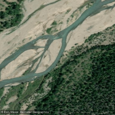
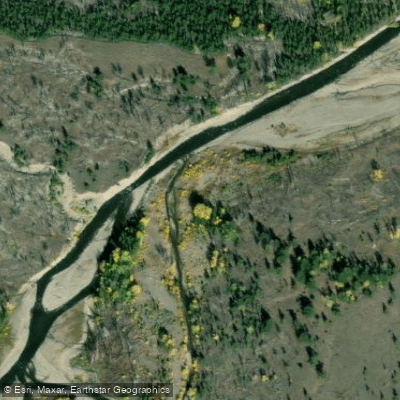
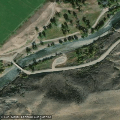
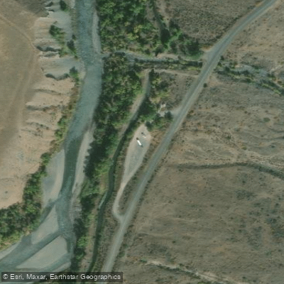
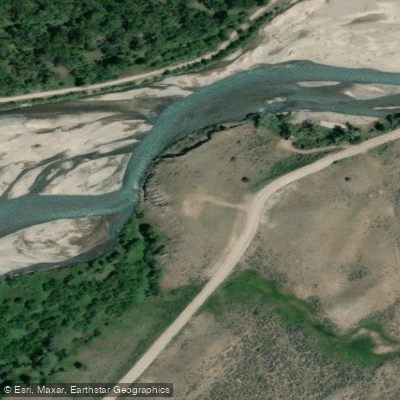
Learn how to get on South Fork Shoshone River. Uncover great paddling access points, boat ramps, and all the facilities you need for an unforgettable day on the water. Some locations shown may border or include private property. Always check property boundaries and applicable regulations before visiting. PaddleWays's Public & Private Land layer can help you plan your access with confidence.
Paddle smarter with real-time insights
Whether you're en route and conditions shift or you're looking for the best spot based on current flows, we enable you to make informed decisions on the fly.








Find Places to Paddle

Over 400,000 Places to Paddle
Every user gets free access to launch points, boat ramps, and public property parcels.


Water and weather conditions (10 day forecast)
See the best times to paddle South Fork Shoshone River and check the forecast before you go.
SOUTH FORK SHOSHONE RIVER NEAR VALLEY, WY
All Flow Stations
Paddling near South Fork Shoshone River
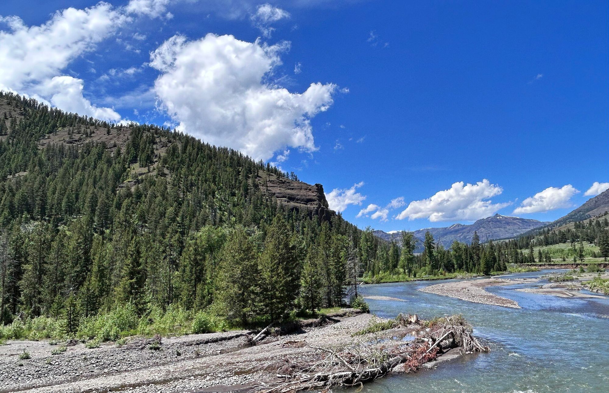
Shoshone River
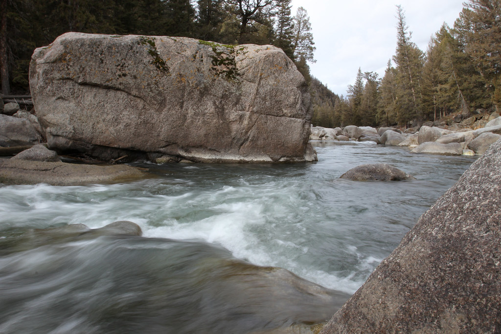
Lamar River
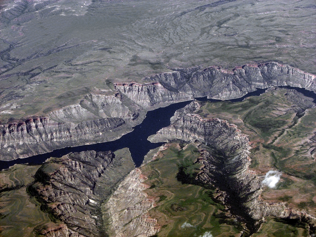
Bighorn Lake
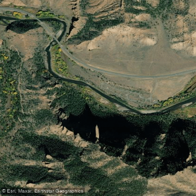
North Fork Shoshone River
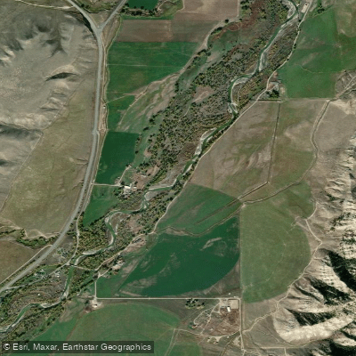
Greybull River
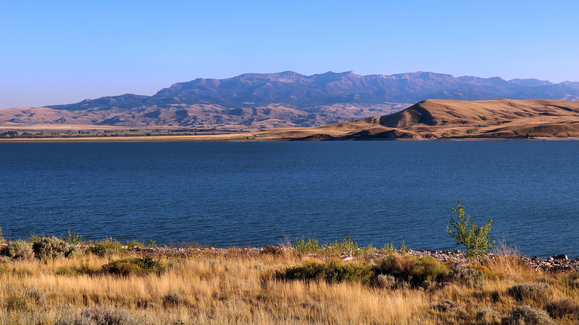
Buffalo Bill Reservoir
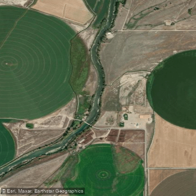
Clarks Fork Yellowstone River
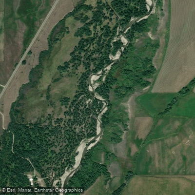
Rock Creek
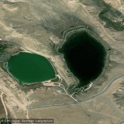
Newton Lakes
Explore Wyoming waters
Top paddling waters
Popular Cities
Loading popular cities...
Explore near South Fork Shoshone River
Access points
Nearby waters
More in Wyoming

Smarter Paddling Starts in the App.
Paddleways gives you everything you need to plan smarter, paddle better, and own every trip from first launch to takeout.