Curated by PaddleWays
RouteClass II
- Distance
- 5.4 mi
- Paddle time
- ~2 hrs
- Put-in → take-out
- Highway 56 Access → Coburn Mountain Road Access
One rapid could approach Class III
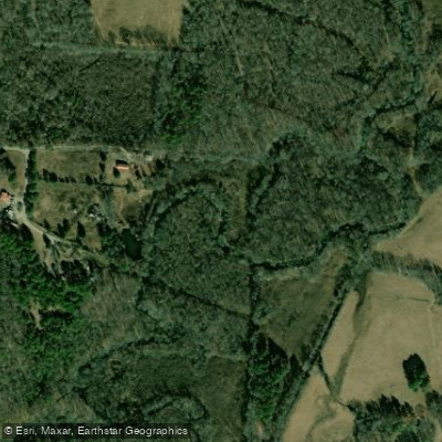
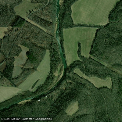
Spring Creek originates in Franklin County, Alabama, flowing southwest through the Highland Rim before entering Colbert County and eventually emptying into Pickwick Lake on the Tennessee River. The creek drops approximately 350 feet over its course, creating a dynamic waterway characterized by continuous shoals, wave trains, and narrow technical sections through forested terrain.
The primary paddling section begins at the Highway 56 bridge in Franklin County, offering 5.6 miles of Class II whitewater to the takeout at Coburn Mountain Road in Colbert County. This run features fairly continuous rapids with one notable drop called "Ain't None" near the midpoint, which approaches Class III difficulty during higher flows. This rapid requires a slot move into a hole followed by a right move to avoid a rock, finishing with additional holes and waves. The first 2.5 miles provide the most technical paddling, while the downstream section flattens considerably, flowing through pastureland with numerous logjams requiring vigilance.
Spring Creek demands adequate water levels to run, typically requiring 1-2 inches of rainfall during winter and early spring. The creek's small watershed means it rises and falls quickly, offering only brief windows of paddleability after precipitation events. The narrow channel and continuous nature of the rapids make this unsuitable for beginners, requiring solid boat control and the ability to read water quickly.
Approximately one mile into the run, a feeder creek enters on river right. A short hike upstream reveals a 60-foot waterfall cascading from a bluff shelter, providing a scenic diversion. The creek corridor features typical Highland Rim vegetation including hardwoods and scattered bluffs with rock shelters, though water quality is inferior to nearby Bankhead National Forest streams.
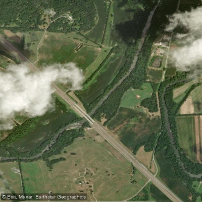
Access is limited and straightforward: put-in at the Highway 56 bridge east of Russellville in Franklin County, with takeout at Coburn Mountain Road in Colbert County. The shuttle follows Highway 56, County Road 37 (Fox Trap), and Coburn Mountain Road.
Safety considerations include the creek's flashy nature—water levels can rise dangerously fast during rain events. The logjam-prone lower section requires constant attention, and paddlers should scout or portage any questionable wood hazards. The remote nature of portions of the run means self-rescue capability is essential. Most paddlers complete the run in approximately 4 hours under optimal conditions, though the flat lower section can extend trip time considerably.
Curated routes
Hand-picked by the PaddleWays team, with put-ins, take-outs, paddle times and the hazards along the way.
RouteClass II
Hazards
No hazards are marked on Spring Creek yet. That is not the same as none being there: if you find one, report it for the next paddler.
From the community
Nobody has shared a trip on Spring Creek yet. Paddle it, then tell the next paddler how it went.
See exactly where the public can get on and off the river. Launch points and boat ramps are paired with PaddleWays' public land data so you know where you can legally land.
Public shoreline
1%of the river's shoreline is public
Most of the riverbank is private. Launch, land and camp only at public access points.
Boat Ramp
Flows, weather and a route-by-route verdict, so you know which stretch of the Spring Creek is worth paddling today.
No forecast data available.
Live flows, marked hazards and fresh trip reports from paddlers who were just on the water, all in one place.





Every user gets free access to launch points, boat ramps, and public property parcels.

Loading popular cities...
PaddleWays gives you everything you need to plan smarter, paddle better, and own every trip from first launch to takeout.





