Dry Creek
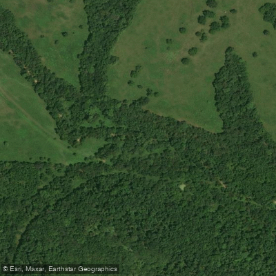
Dry Creek
- Boat Ramps
- 0
- Access Points
- 0
- Campsites
- 3
Dry Creek flows through the rugged Boston Mountains region of Searcy County in north-central Arkansas, eventually joining the Buffalo River as a tributary. This waterway drains a portion of the mountainous terrain characteristic of the Arkansas Ozarks, where steep forested ridges and narrow valleys define the landscape.
The creek's watershed lies within an area historically significant for early settlement patterns dating to the 1830s. The Dry Creek community developed along Highway 65 near Pindall, where a mercantile establishment served area residents through the early twentieth century. This settlement reflected the scattered homestead pattern typical of Searcy County, where families established small farms in the limited fertile bottomlands while utilizing surrounding forests for timber and sustenance.
The terrain surrounding Dry Creek features elevations reaching above 2,000 feet in places, with the Boston Mountains creating some of the steepest slopes in the Ozark region. Native vegetation includes cedar, pine, and oak forests on the ridgetops, with hardwood species dominating the creek valleys. The rocky substrate and variable water flow typical of Ozark streams characterize this watershed.
Access to Dry Creek is limited due to its location in remote, mountainous terrain with few maintained roads penetrating the area. The nearest population center is the small community of Pindall along Highway 65, though the creek itself flows through largely undeveloped forestland. Private property considerations and lack of established public access points restrict recreational use.
Water levels in Dry Creek fluctuate significantly with seasonal rainfall patterns. Heavy spring rains can cause rapid rises and flash flooding conditions, while summer months often see reduced flow. This variability, combined with the creek's small size and limited navigable sections, makes it unsuitable for most paddling activities.
The Buffalo National River boundaries encompass portions of the Dry Creek watershed, placing some areas under National Park Service management. This designation aims to preserve the natural character of tributaries feeding into America's first national river, established in 1972 after decades of conservation efforts.
Wildlife in the surrounding forests includes white-tailed deer, wild turkey, and black bear, which have made a resurgence in the Boston Mountain region. The creek itself may support smallmouth bass and other native fish species during periods of adequate flow, though its small size limits aquatic habitat compared to larger Searcy County waterways.
Historical land use patterns included subsistence farming, timber extraction, and limited mining activity that characterized much of Searcy County's development through the early twentieth century.
Water access, boat ramps & amenities
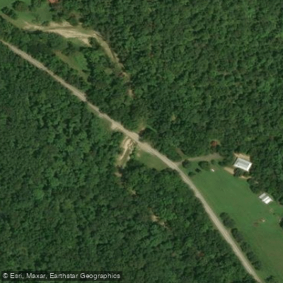
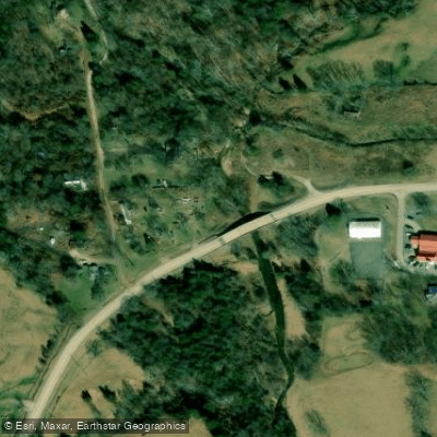
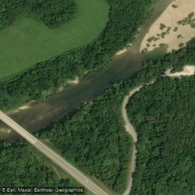
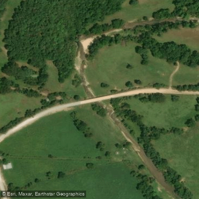
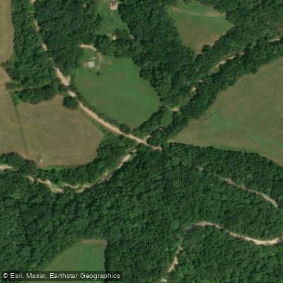
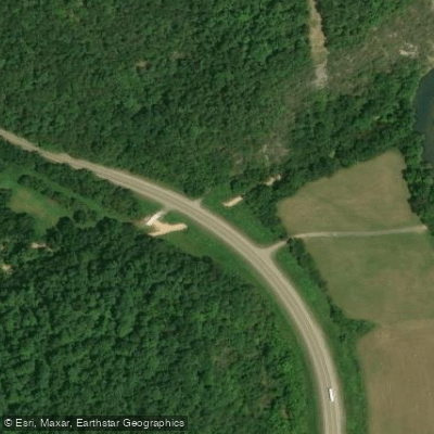
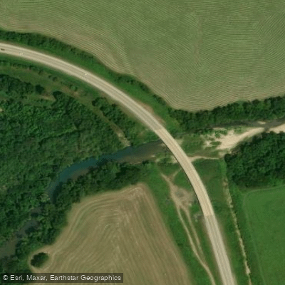
Learn how to get on Dry Creek. Uncover great paddling access points, boat ramps, and all the facilities you need for an unforgettable day on the water. Some locations shown may border or include private property. Always check property boundaries and applicable regulations before visiting. PaddleWays's Public & Private Land layer can help you plan your access with confidence.
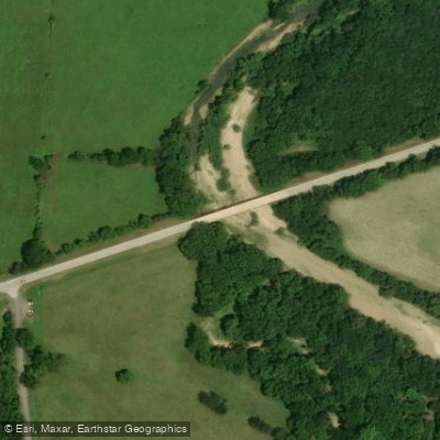
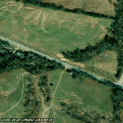
Paddle smarter with real-time insights
Whether you're en route and conditions shift or you're looking for the best spot based on current flows, we enable you to make informed decisions on the fly.








Find Places to Paddle

Over 400,000 Places to Paddle
Every user gets free access to launch points, boat ramps, and public property parcels.


Water and weather conditions (10 day forecast)
See the best times to paddle Dry Creek and check the forecast before you go.
No forecast data available.
Paddling near Dry Creek

White River
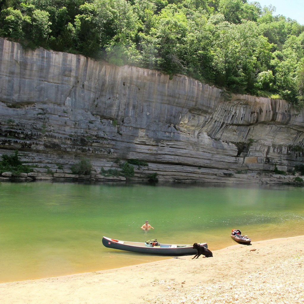
Buffalo River
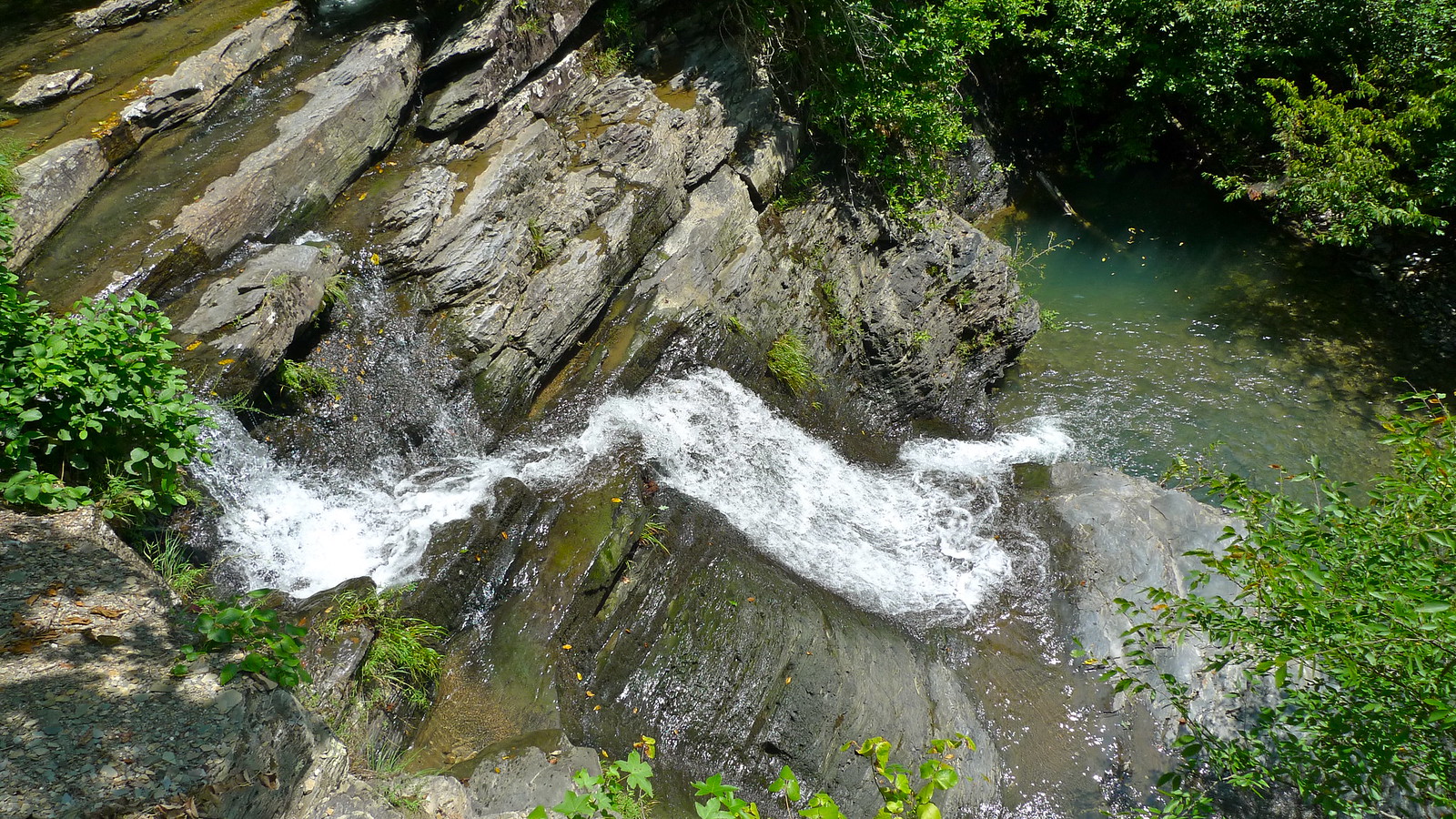
Crooked Creek
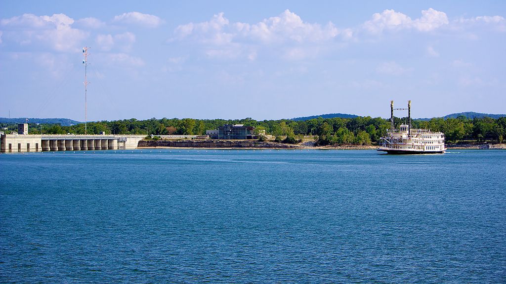
Table Rock Lake
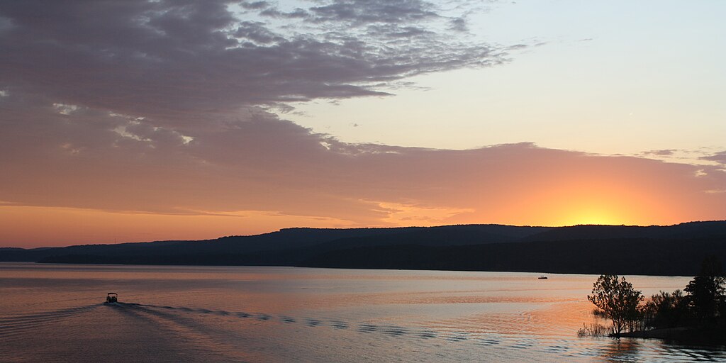
Greers Ferry Lake
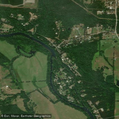
Little Red River
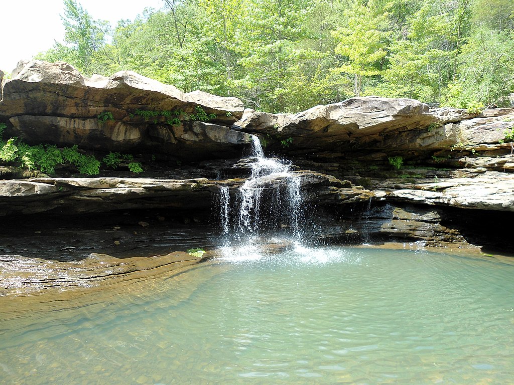
Kings River
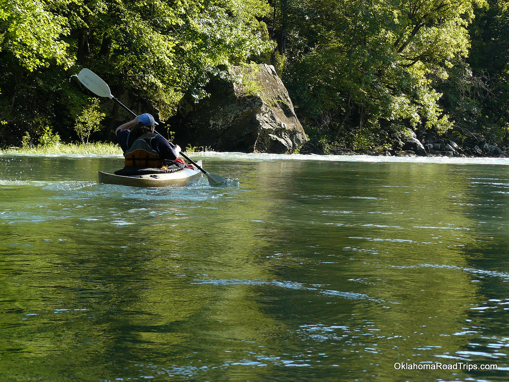
Mulberry River
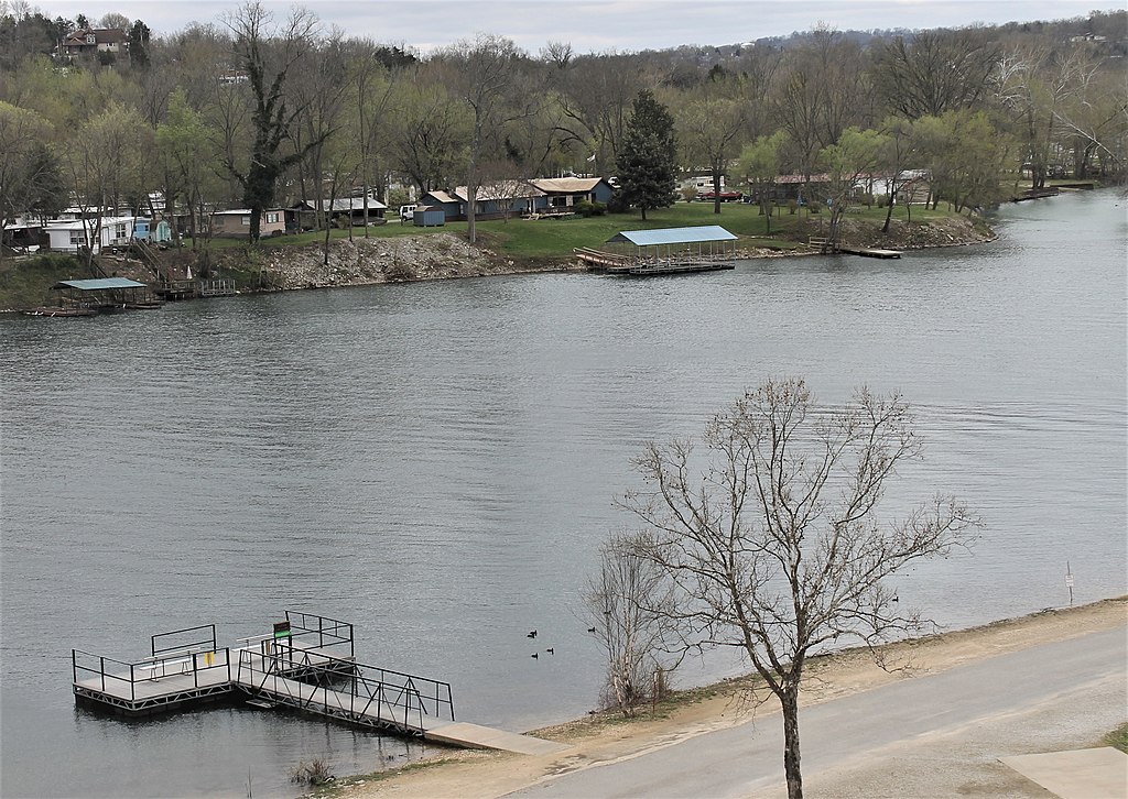
Lake Taneycomo
Clear Creek
Explore Arkansas waters
Top paddling waters
Popular Cities
Loading popular cities...
Explore near Dry Creek
Access points
Nearby waters
More in Arkansas

Smarter Paddling Starts in the App.
Paddleways gives you everything you need to plan smarter, paddle better, and own every trip from first launch to takeout.