Curated by PaddleWays
RouteClass II–IV
- Distance
- 6.8 mi
- Paddle time
- ~1.5 hrs
- Best for
- Intermediate paddlers, experienced paddlers
- Put-in → take-out
- Falling Water Falls Access → Richland Campground Access
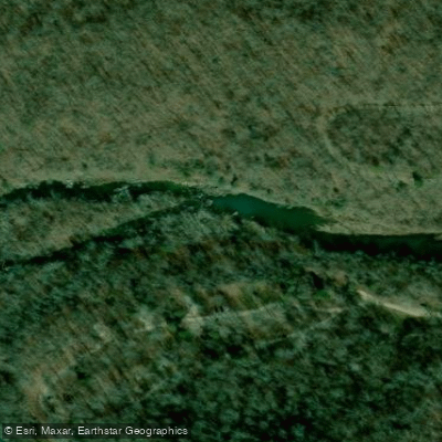
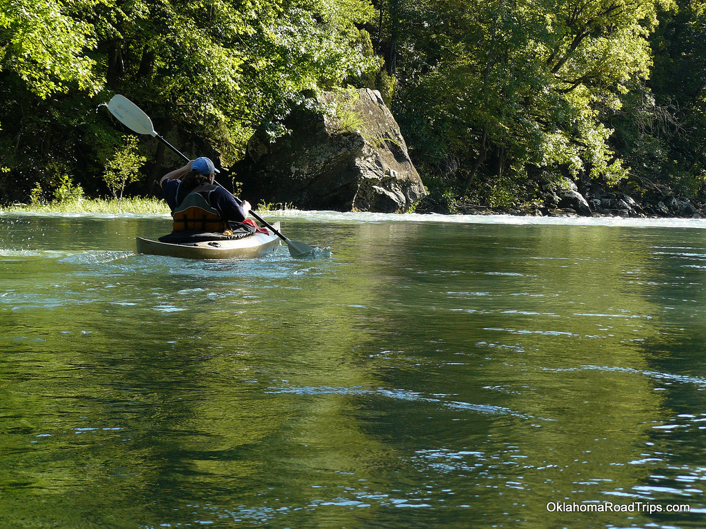
Falling Water Creek is a scenic waterway nestled in the heart of the Ozark National Forest in northcentral Arkansas. This picturesque stream, located in Pope and Searcy Counties, offers paddlers a thrilling 7-mile stretch from Falling Water Falls to Richland Campground, known for its diverse whitewater challenges and stunning natural beauty.
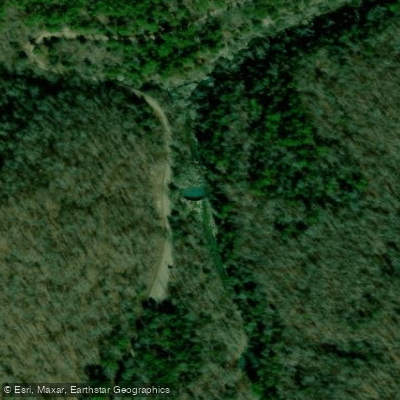
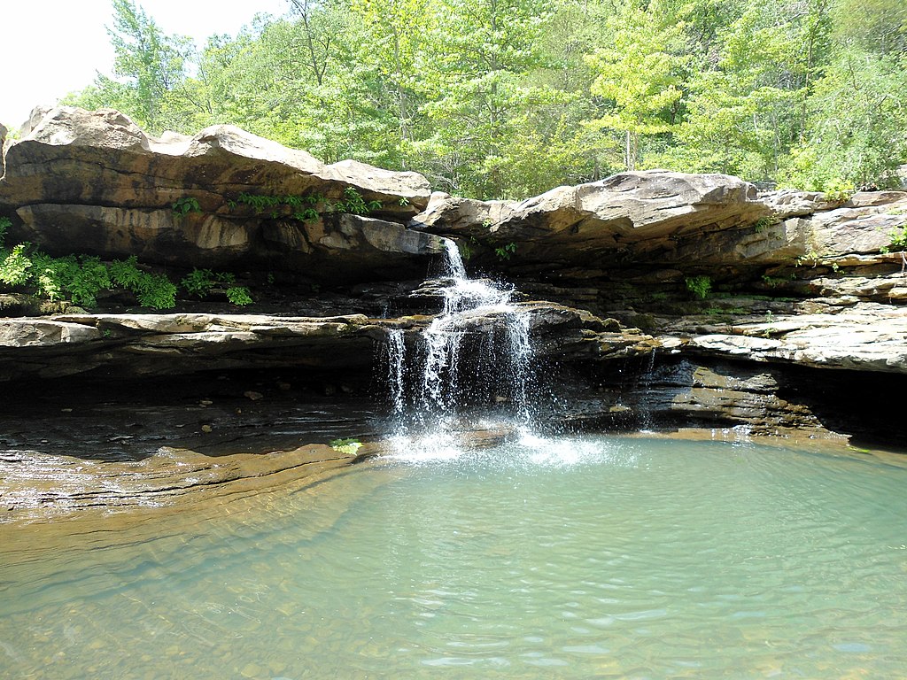
The creek's main paddling section, from Falling Water Falls to Richland Campground, presents a mix of Class II to IV rapids, making it an ideal destination for intermediate to advanced whitewater enthusiasts. This run combines technical paddling with breathtaking scenery, including the namesake Falling Water Falls, easily visible from Forest Service Road 1205.
Access to the put-in at Falling Water Falls is via FSR 1205 (also known as CR 68 or Upper Falling Water Road), about 3-4 miles east from the junction of Arkansas Highways 7 and 16 at Pelsor. While some adventurous paddlers start their journey about 4 miles upstream of the falls, most opt for the more common access points: below Falling Water Falls, at the Falling Water Road crossing (3.3 miles downstream), or at Richland Campground for the full 7-mile experience.
The creek's flow is typically best in spring and early summer when rainfall and snowmelt increase water levels. However, it's essential to check current conditions, as the creek can become dangerously high during heavy rains or too low during dry spells.
Falling Water Creek and its surrounding area are renowned for their rich biodiversity. The Ozark National Forest provides habitat for a variety of wildlife, including black bears, white-tailed deer, and numerous bird species. The creek's clear waters are home to various fish species, making it a popular spot for anglers as well.
One of the most significant landmarks along the creek is Falling Water Falls itself, a beautiful cascade that sets the tone for the paddling adventure ahead. The area around the creek is dotted with numerous other waterfalls, making it a paradise for waterfall enthusiasts and photographers. The nearby community of Ben Hur serves as a gateway to the creek, while the primitive Richland Campground at the take-out offers basic amenities for those looking to extend their stay. This campground, with its pit toilets and picnic tables, is an excellent base for exploring the surrounding forest or planning multi-day paddling trips in the area.
Safety is paramount when paddling Falling Water Creek. The Class II-IV rapids demand respect and proper whitewater skills. Paddlers should always wear appropriate safety gear, including helmets and life jackets, and be prepared for sudden changes in water levels and weather conditions.
While primarily a day-trip destination, Falling Water Creek's proximity to other notable waterways like Richland Creek and Long Devil's Fork opens up possibilities for extended paddling adventures in the region. The area's natural beauty and challenging waters have made it a beloved destination among Arkansas paddlers and outdoor enthusiasts, offering a true taste of Ozark wilderness and whitewater excitement.
Curated routes
Hand-picked by the PaddleWays team, with put-ins, take-outs, paddle times and the hazards along the way.
RouteClass II–IV
Hazards
No paddler has reported a hazard here yet, so these are the dams, falls and big rapids on our map. Hazards change with flows and storms, so check them before you launch.
From the community
Nobody has shared a trip on Falling Water Creek yet. Paddle it, then tell the next paddler how it went.
See exactly where the public can get on and off the river. Launch points and boat ramps are paired with PaddleWays' public land data so you know where you can legally land.
Public shoreline
83%of the river's shoreline is public
Flows, weather and a route-by-route verdict, so you know which stretch of the Falling Water Creek is worth paddling today.
No forecast data available.
Live flows, marked hazards and fresh trip reports from paddlers who were just on the water, all in one place.





Every user gets free access to launch points, boat ramps, and public property parcels.
Loading popular cities...
PaddleWays gives you everything you need to plan smarter, paddle better, and own every trip from first launch to takeout.