Curated by PaddleWays
RouteClass II
- Distance
- 7.4 mi
- Paddle time
- 4 hrs
- Best for
- Intermediate paddlers
- Put-in → take-out
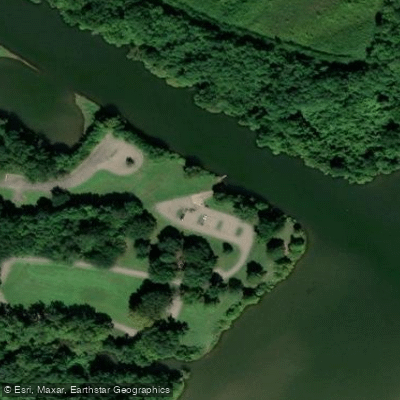
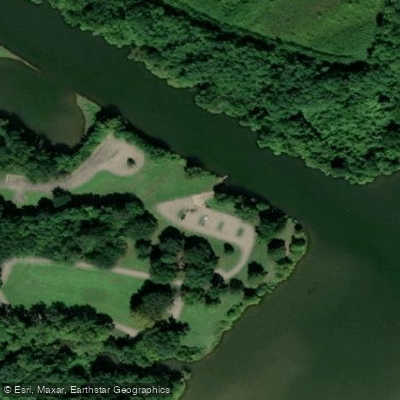
- Lancaster Bridge Access → Rudy Access
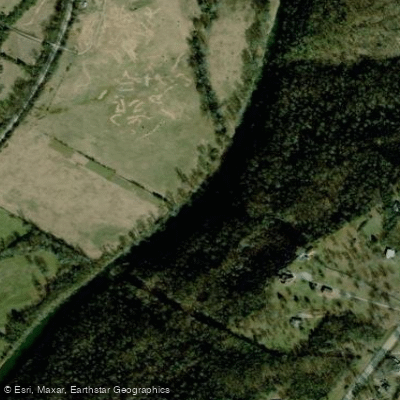
Frog Bayou is a vibrant waterway that originates in the Ozark National Forest of northwest Arkansas, flowing generally southeast through Crawford County. This tributary of the Arkansas River carves its way through the rugged Ozark landscape for approximately 40 miles before its confluence near Van Buren.
The river offers excellent paddling opportunities, with several distinct sections catering to different skill levels. The upper reaches from Chester to Mountainburg provide a more relaxed 6.2-mile journey, while the heart of the whitewater action lies in the 21.5-mile stretch from Mountainburg to Rudy. This section can be broken down into smaller runs, including the popular 3.5-mile Ash Street to Grotto segment and the 8-mile Ribbit Run from Lancaster Bridge to Rudy.
Frog Bayou is primarily known for its Class II whitewater, with occasional Class II+ rapids at higher water levels. The river features a continuous series of rapids with challenging pourover rocks, making it an ideal training ground for intermediate paddlers looking to hone their skills. While accessible to confident beginners, the river demands respect and solid boat control.
Spring typically offers the most reliable water levels, with the ideal range for paddling between 2.7 and 5.0 feet on the gauge. However, the river can be run at lower levels with some scraping, while higher water amplifies the challenge.
The surrounding Ozark ecosystem supports a diverse array of flora and fauna. Paddlers may spot various bird species, including herons and kingfishers, while the forested banks showcase a mix of hardwoods and pines characteristic of the region.
Key access points include the Ash Street low water bridge in Mountainburg, Lancaster Bridge, and the take-out in downtown Rudy. These small communities serve as gateways to the river, with Van Buren being the nearest larger city.
Frog Bayou's proximity to other popular Arkansas waterways like the Mulberry River and Big Piney Creek makes it an excellent addition to a multi-river paddling trip in the region. While primarily a day-trip destination, adventurous paddlers could potentially arrange overnight excursions by combining multiple sections.
Safety considerations include being prepared for sudden water level changes and scouting unfamiliar rapids, particularly those with hidden pourover rocks. As with all Arkansas waterways, wearing a personal flotation device is mandatory.
The Frog Bayou offers a quintessential Ozark paddling experience, blending exciting whitewater with the natural beauty and rich outdoor heritage of northwest Arkansas.
Curated routes
Hand-picked by the PaddleWays team, with put-ins, take-outs, paddle times and the hazards along the way.
RouteClass II
Hazards
No paddler has reported a hazard here yet, so these are the dams, falls and big rapids on our map. Hazards change with flows and storms, so check them before you launch.
From the community
Nobody has shared a trip on Frog Bayou yet. Paddle it, then tell the next paddler how it went.
See exactly where the public can get on and off the river. Launch points and boat ramps are paired with PaddleWays' public land data so you know where you can legally land.
Public shoreline
26%of the river's shoreline is public
Most of the riverbank is private. Launch, land and camp only at public access points.
Flows, weather and a route-by-route verdict, so you know which stretch of the Frog Bayou is worth paddling today.
All Flow Stations
Live flows, marked hazards and fresh trip reports from paddlers who were just on the water, all in one place.





Every user gets free access to launch points, boat ramps, and public property parcels.
Loading popular cities...
PaddleWays gives you everything you need to plan smarter, paddle better, and own every trip from first launch to takeout.