Curated by PaddleWays
RouteClass II–III
- Distance
- 10.2 mi
- Paddle time
- ~2.5 hrs
- Put-in → take-out
- Lydalick Access → Shirley Boat Ramp
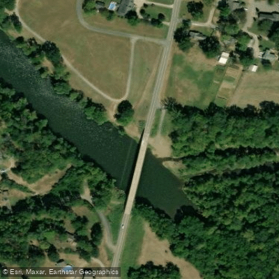
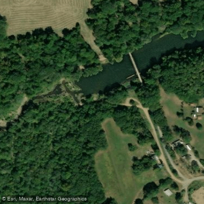
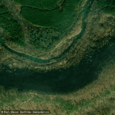
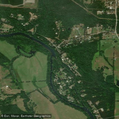
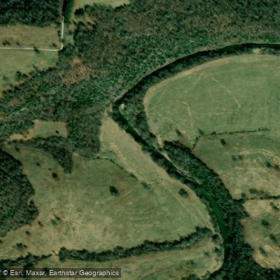
The Middle Fork Little Red River is a scenic waterway flowing through the Ozark foothills of north-central Arkansas. Originating in Searcy County near Tilly, it meanders southeast through Van Buren and Stone counties before joining the main stem of the Little Red River in Cleburne County, ultimately emptying into Greers Ferry Lake. This tributary of the Little Red River system carves a winding path through rugged Ozark terrain, creating an exciting playground for paddlers.
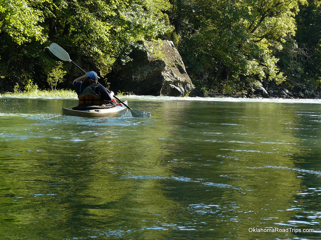
The most popular paddling section runs 10 miles from Lydalisk to Shirley, offering Class II-III rapids that challenge intermediate paddlers. A longer 22-mile stretch from McCord-Lydalusk to Shirley provides an extended adventure for those seeking a full day on the water. The river's character shifts from swift mountain stream to more placid flows as it nears Greers Ferry Lake.
Water levels are heavily dependent on recent rainfall, with optimal paddling conditions typically occurring in spring and early summer. Local outfitters recommend a minimum of 6 feet on the Shirley gauge for a good float. Paddlers should be cautious of levels exceeding 11 feet, which can create dangerous conditions.
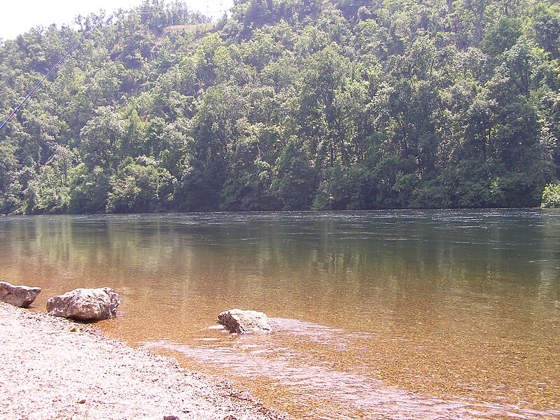
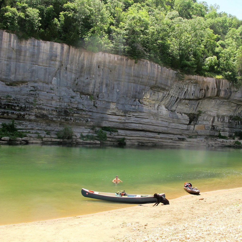
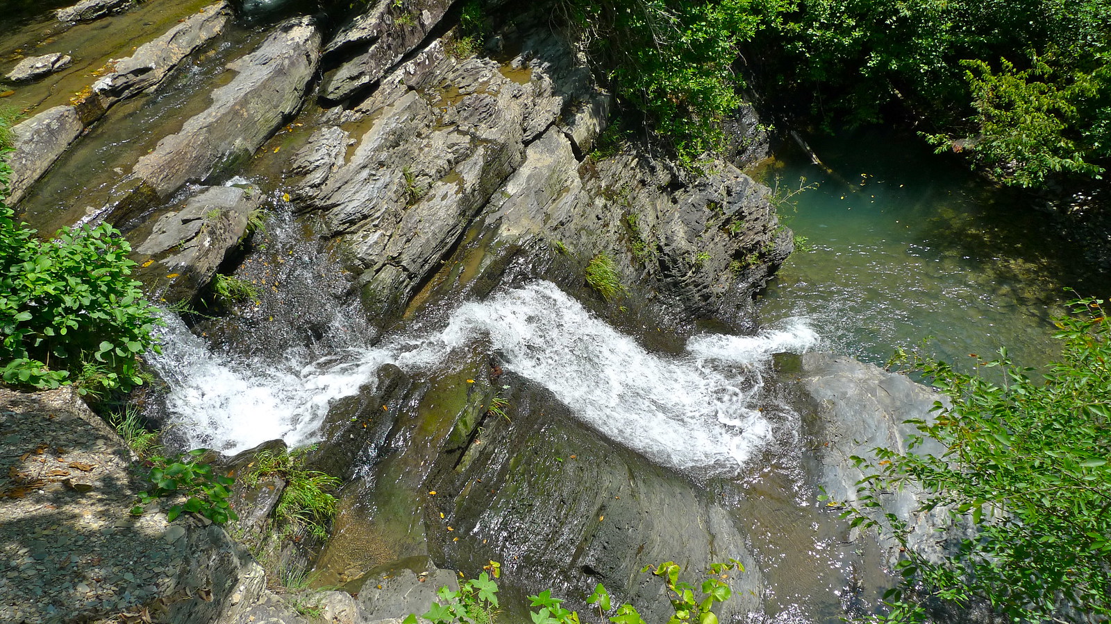
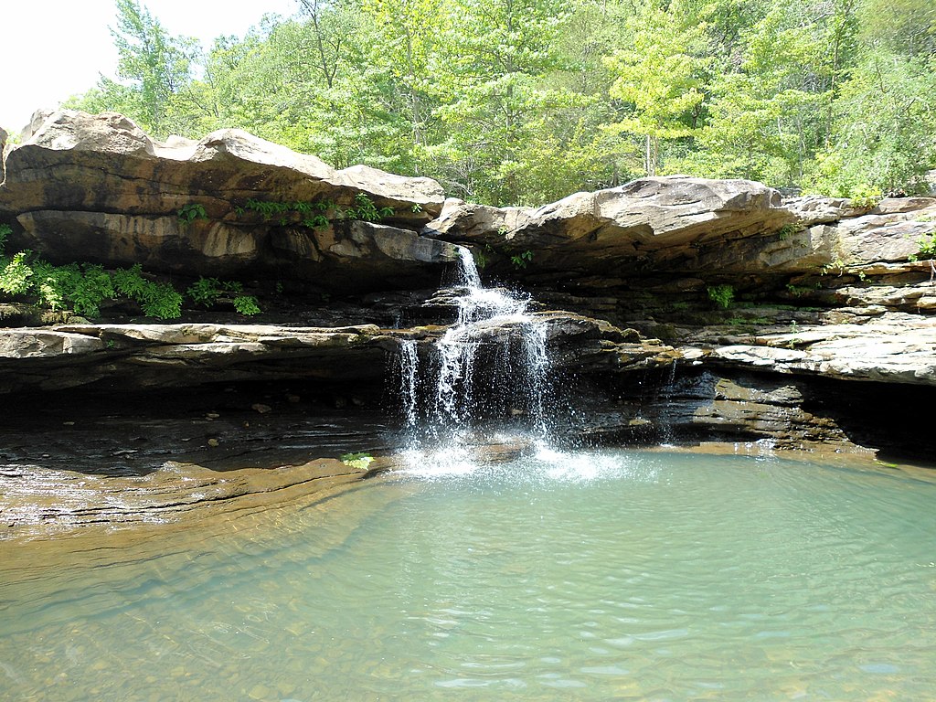
The Middle Fork cuts through a landscape of towering bluffs, dense forests, and occasional pastoral scenes. Wildlife sightings may include deer, turkey, and a variety of bird species. A highlight of the Lydalisk to Shirley run is a picturesque waterfall with an adjacent rope swing, located about 8 minutes into the float.
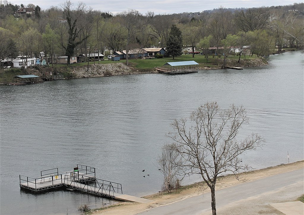
Key access points include put-ins at McCord-Lydalusk and Lydalisk, with take-outs in Shirley. The nearby town of Clinton serves as a hub for river information and outfitting services. Little Red River Outfitters in Shirley provides local knowledge and shuttle services for paddlers.
Safety considerations include being prepared for remote stretches with limited cell service and potential strainers or log jams. Paddlers should always wear life jackets and be aware of changing water levels that can significantly alter the river's character.
The Middle Fork Little Red River offers an excellent balance of exciting whitewater and serene floating, making it a hidden gem among Arkansas' paddling destinations. Its relatively undeveloped corridor provides a genuine Ozark wilderness experience, allowing paddlers to immerse themselves in the natural beauty of the region.
Curated routes
Hand-picked by the PaddleWays team, with put-ins, take-outs, paddle times and the hazards along the way.
RouteClass II–III
Hazards
No hazards are marked on Middle Fork Little Red River yet. That is not the same as none being there: if you find one, report it for the next paddler.
From the community
Nobody has shared a trip on Middle Fork Little Red River yet. Paddle it, then tell the next paddler how it went.
Kelly D. •
Little Red River Outfitters Rentals and Shuttle Service (501) 250-5560 Best conditions at 6-10'. See local flow gauge. A 4.5 mile float with manageable rapids and excellent smallmouth fishing. Paddlers will float the historic railroad bridge at Shirley. (Bear Creek Float) A 9.5 mile float that includes multiple sections of rapids and great smallmouth. Enjoy nature at its best and remnants of the railroad days (Lydalisk Float) A 14 mile float with an abundance of rapids and fishing holes. One low water bridge to port and amazing views in a non crowded setting (Alberg Float)
See exactly where the public can get on and off the river. Launch points and boat ramps are paired with PaddleWays' public land data so you know where you can legally land.
Public shoreline
0%of the river's shoreline is public
Most of the riverbank is private. Launch, land and camp only at public access points.
Flows, weather and a route-by-route verdict, so you know which stretch of the Middle Fork Little Red River is worth paddling today.
Live flows, marked hazards and fresh trip reports from paddlers who were just on the water, all in one place.





Every user gets free access to launch points, boat ramps, and public property parcels.
Loading popular cities...
PaddleWays gives you everything you need to plan smarter, paddle better, and own every trip from first launch to takeout.