Mill Creek
Mill Creek
- Boat Ramps
- 0
- Access Points
- 0
- Campsites
- 4
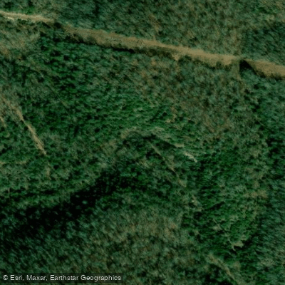
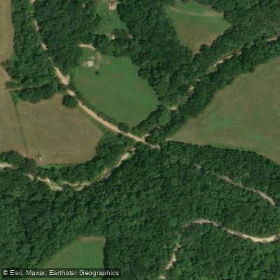
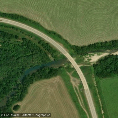
Mill Creek flows through the rugged terrain of Searcy County, Arkansas, serving as a tributary to the Buffalo River within Buffalo National River. This creek originates in the Ozark hill country and descends through densely forested hollows before joining the Buffalo River near Pruitt, where Highway 7 crosses the national river corridor.
The Mill Creek Trail provides the primary access to experience this waterway, offering a 2-mile hiking route from the Pruitt canoe landing that follows the creek upstream. This trail represents one of the few designated paths in the middle district of Buffalo National River where pets are permitted, making it a popular choice for families seeking to explore the creek's corridor with their dogs.
The creek flows through typical Ozark landscape characterized by hardwood and evergreen forests blanketing steep hillsides. The drainage exhibits the limestone and dolomite geology common to the Buffalo River watershed, with the potential for small bluffs, springs, and clear pools that define Ozark streams.
The surrounding forest supports white-tailed deer, raccoon, and numerous bird species, while the creek itself likely harbors smallmouth bass and other fish species found throughout Buffalo River tributaries.
Mill Creek's location near Pruitt places it within the transition zone between the upper Buffalo's steeper gradient and the middle river's more moderate flow. The Pruitt area serves as a significant access point for Buffalo River visitors, with the Ozark Campground nearby and the Tyler Bend Visitor Center located downstream.
Historically, this section of Buffalo National River saw early trail development in the 1970s, with the Pruitt to Ozark Campground trail constructed by Harrison High School students under the Youth Conservation Corps program. The creek's watershed lies within the broader context of Buffalo National River's 95,000-acre protected corridor, contributing to the water quality and ecological integrity that led to the Buffalo's designation as America's first national river in 1972. The Pruitt area, where Mill Creek enters the Buffalo, represents a key location in the river's 135-mile journey from the Boston Mountains to the White River.
Access to Mill Creek is straightforward via Highway 7, which provides the main north-south route through this section of Searcy County. The Pruitt area offers parking, restroom facilities, and river access, making it a convenient starting point for exploring Mill Creek's forested hollow. The trail's moderate difficulty suits hikers seeking a shorter excursion into the Ozark backcountry without committing to the longer wilderness routes found elsewhere in Buffalo National River.
Water access, boat ramps & amenities
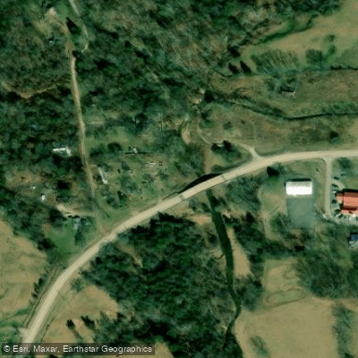
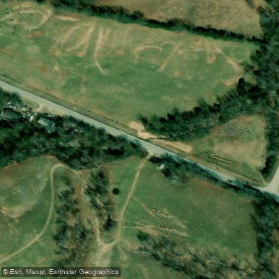
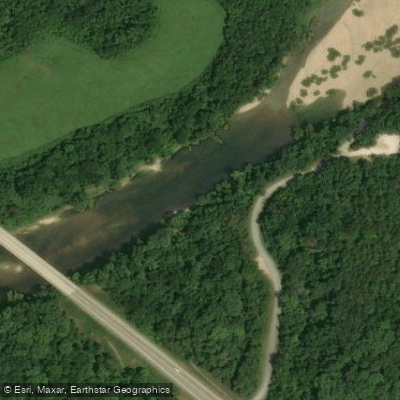
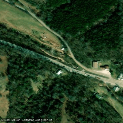
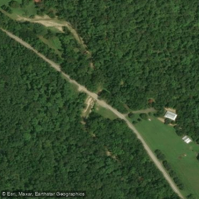
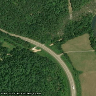
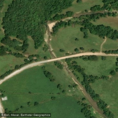
Learn how to get on Mill Creek. Uncover great paddling access points, boat ramps, and all the facilities you need for an unforgettable day on the water. Some locations shown may border or include private property. Always check property boundaries and applicable regulations before visiting. PaddleWays's Public & Private Land layer can help you plan your access with confidence.
Paddle smarter with real-time insights
Whether you're en route and conditions shift or you're looking for the best spot based on current flows, we enable you to make informed decisions on the fly.








Find Places to Paddle

Over 400,000 Places to Paddle
Every user gets free access to launch points, boat ramps, and public property parcels.


Water and weather conditions (10 day forecast)
See the best times to paddle Mill Creek and check the forecast before you go.
No forecast data available.
Paddling near Mill Creek

White River
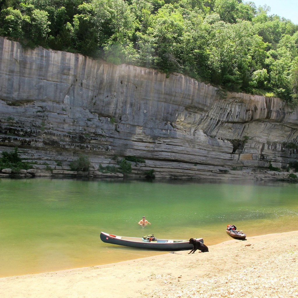
Buffalo River
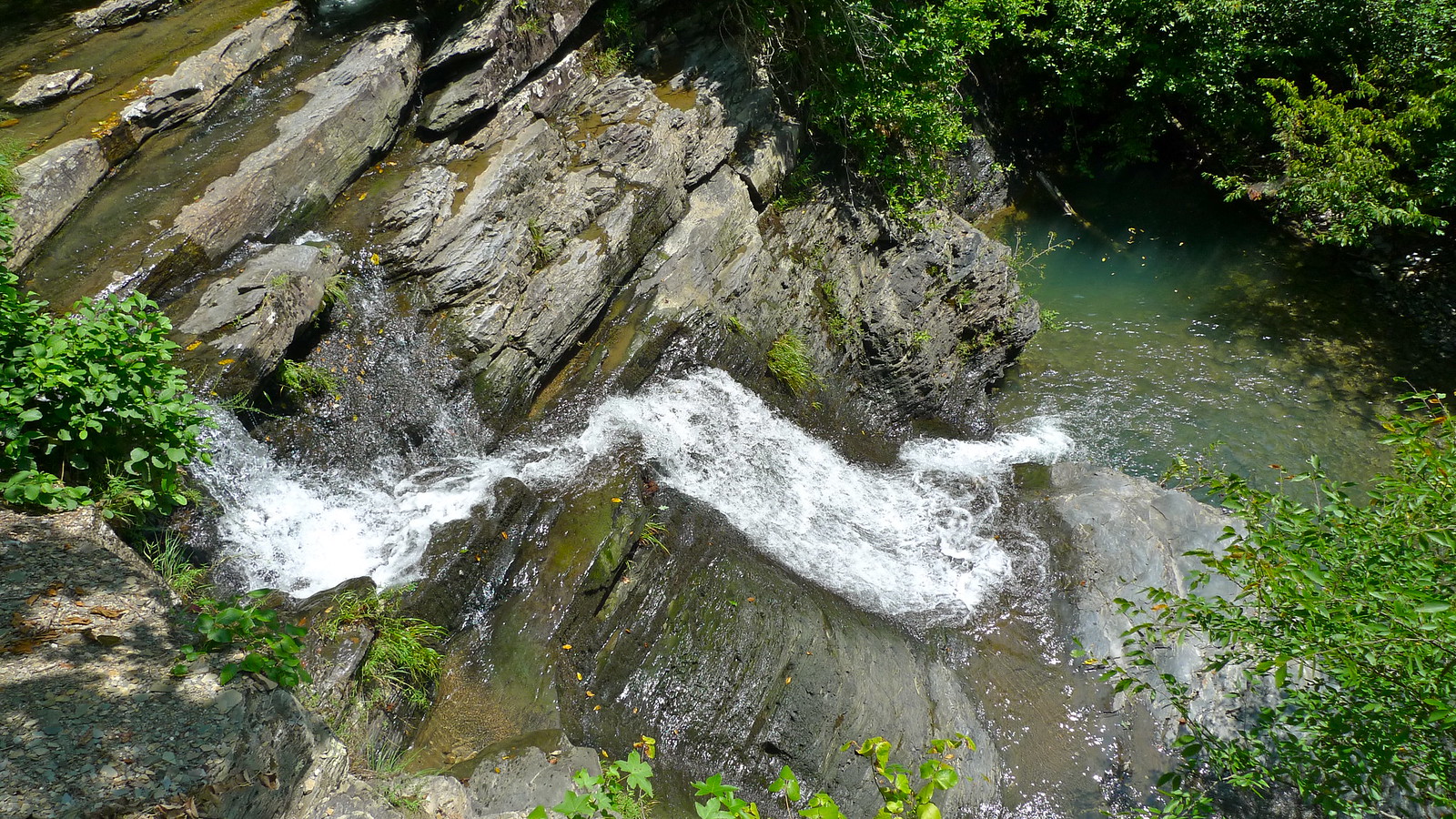
Crooked Creek
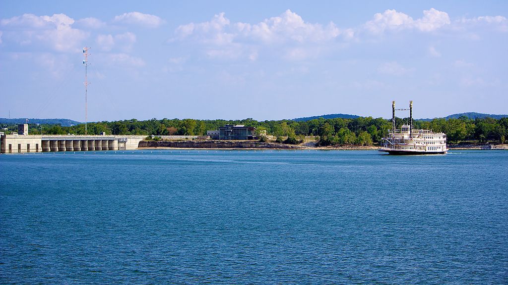
Table Rock Lake
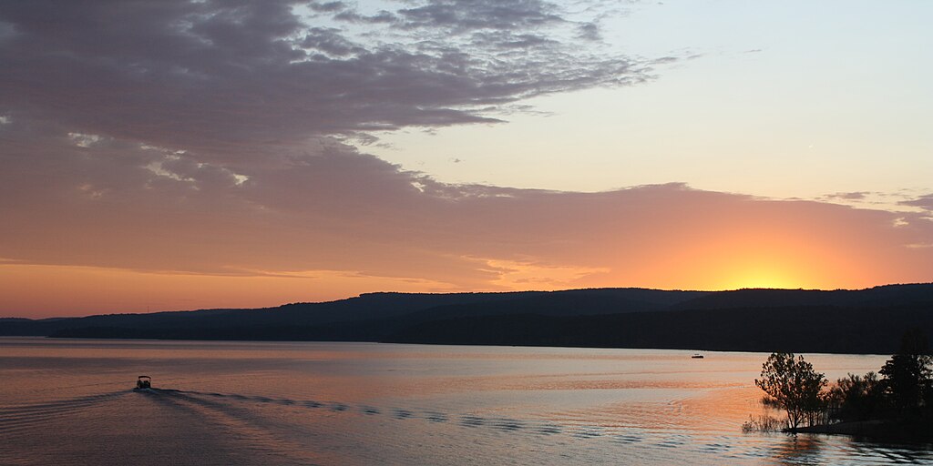
Greers Ferry Lake
Little Red River
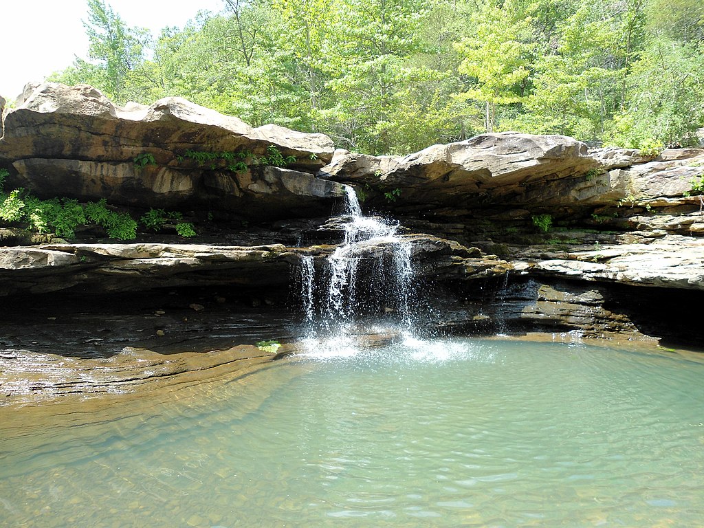
Kings River
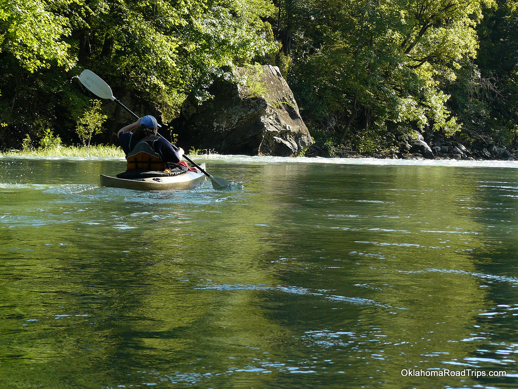
Mulberry River
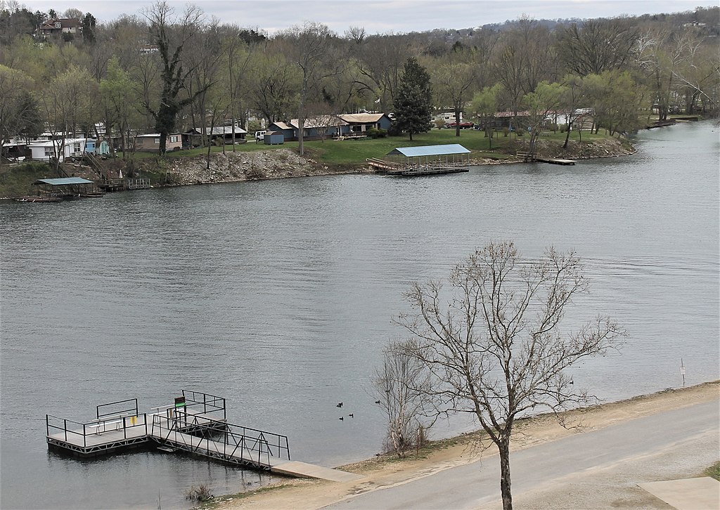
Lake Taneycomo
Clear Creek
Explore Arkansas waters
Top paddling waters
Popular Cities
Loading popular cities...
Explore near Mill Creek
Access points
Nearby waters
More in Arkansas

Smarter Paddling Starts in the App.
Paddleways gives you everything you need to plan smarter, paddle better, and own every trip from first launch to takeout.