Richland Creek
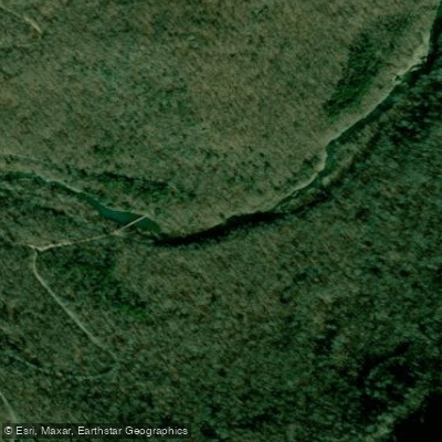
Richland Creek
- Boat Ramps
- 1
- Access Points
- 2
- Campsites
- 3
Richland Creek originates in the Boston Mountains of the Ozark National Forest, flowing generally northward through Newton, Pope, and Searcy counties before emptying into the Buffalo River. This remote waterway carves through the Richland Creek Wilderness, a federally designated wilderness area encompassing over 11,000 acres of rugged terrain characterized by steep-sided valleys, towering bluffs, and dense hardwood forests. The creek system includes several significant tributaries, most notably Big Devil's Fork, Long Devil's Fork, Falling Water Creek, and Bobtail Creek, each contributing to the watershed's complex hydrology. The main stem flows through a landscape marked by dramatic elevation changes, creating numerous waterfalls including the impressive Richland Falls, which spans nearly 100 feet across the creek, and the Twin Falls of Richland, where Big Devil's Fork and Long Devil's Fork converge.
Paddling opportunities exist primarily during periods of adequate rainfall, typically from late winter through early summer. The creek offers challenging whitewater experiences ranging from Class II-III to Class IV+ depending on the section and water levels. The most commonly paddled stretch runs from Richland Creek Campground downstream, though access remains limited and conditions primitive. This is not a beginner's river—paddlers face continuous technical maneuvering, numerous creek crossings when hiking to put-ins, and the very real possibility of portaging around obstacles or dealing with strainers in this wilderness setting.
The Richland Creek Wilderness supports diverse Ozark flora including pawpaw stands, hardwood forests dominated by oak and hickory, and riparian vegetation along the creek corridors. Wildlife includes white-tailed deer, black bear, and a variety of bird species. The Belted Kingfisher frequents the waterway, requiring the clear water conditions that Richland Creek typically provides.
Access points are limited by design, preserving the wilderness character. Richland Creek Campground, reached via Forest Road 1205 from Highway 16 near Pelsor, serves as the primary access point. The nearest substantial towns include Jasper in Newton County and Marshall in Searcy County, both requiring significant additional travel on forest roads to reach trailheads or put-ins.
Historically, the watershed supported small farming communities and hosted numerous canning operations processing tomatoes and other crops during the early 20th century. Old mill sites and remnants of logging roads remain visible throughout the area, testament to past resource extraction before wilderness designation.
Safety considerations are paramount: this is genuine wilderness with no maintained trails within the designated area, limited cell coverage, and potential for flash flooding. The Forest Service manages the wilderness, and visitors should practice Leave No Trace principles. Multi-day backpacking trips combining hiking and creek exploration are possible for experienced wilderness travelers, though paddling typically remains a day-trip endeavor due to access limitations and the technical nature of the waterway.
Water access, boat ramps & amenities
Learn how to get on Richland Creek. Uncover great paddling access points, boat ramps, and all the facilities you need for an unforgettable day on the water. Some locations shown may border or include private property. Always check property boundaries and applicable regulations before visiting. PaddleWays's Public & Private Land layer can help you plan your access with confidence.
Paddle smarter with real-time insights
Whether you're en route and conditions shift or you're looking for the best spot based on current flows, we enable you to make informed decisions on the fly.








Find Places to Paddle

Over 400,000 Places to Paddle
Every user gets free access to launch points, boat ramps, and public property parcels.


Water and weather conditions (10 day forecast)
See the best times to paddle Richland Creek and check the forecast before you go.
Richland Creek near Witts Spring, AR
Paddling near Richland Creek

White River
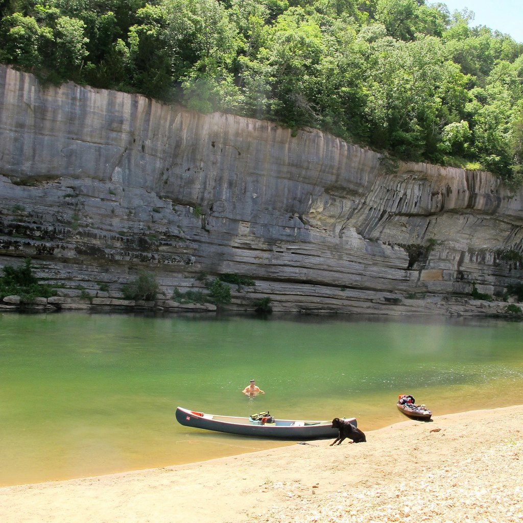
Buffalo River
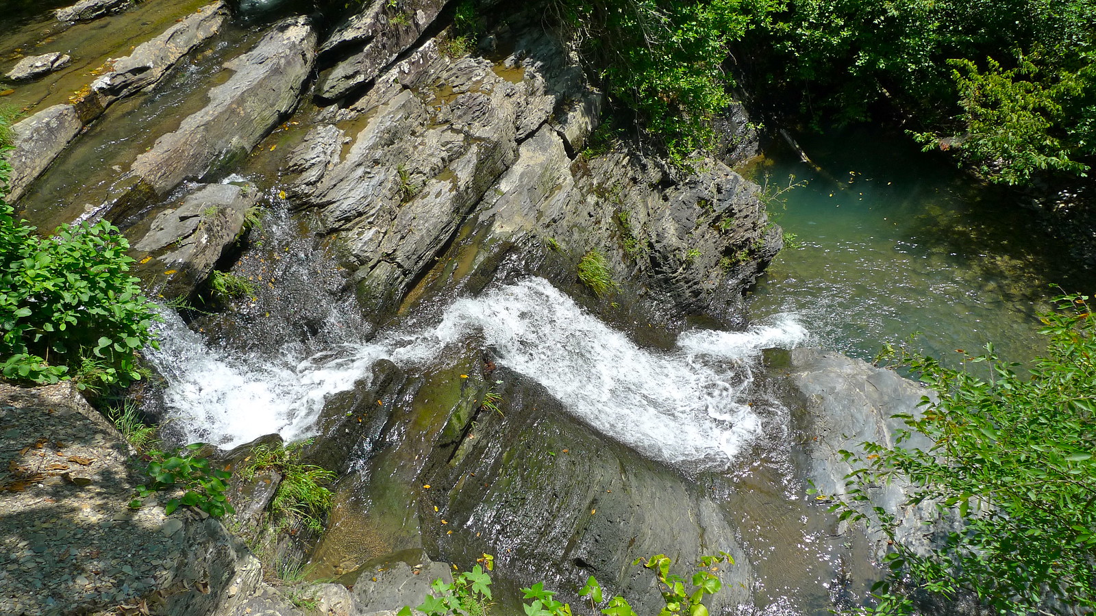
Crooked Creek
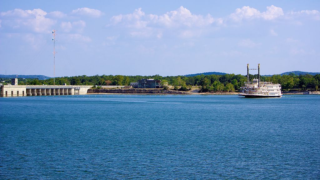
Table Rock Lake
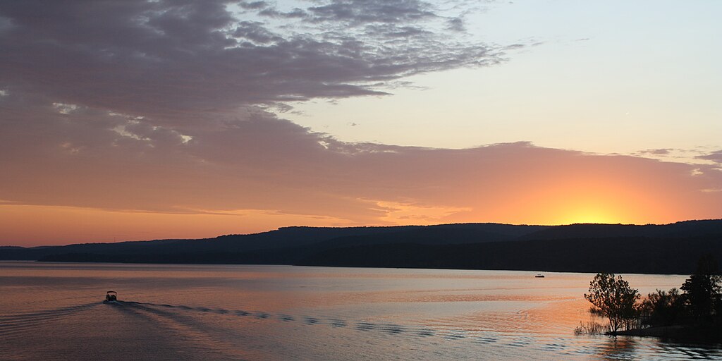
Greers Ferry Lake
Little Red River
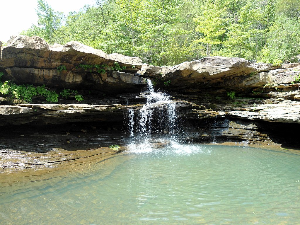
Kings River
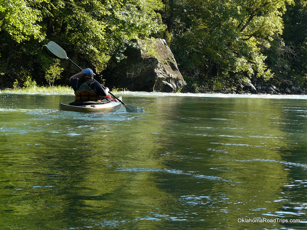
Mulberry River
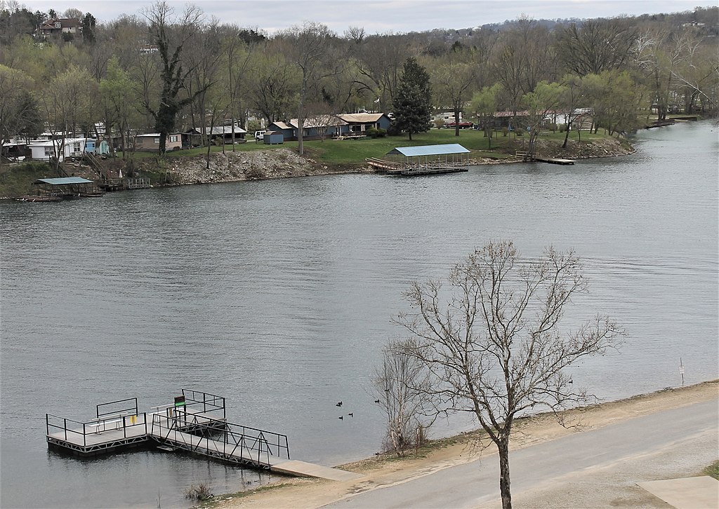
Lake Taneycomo
Clear Creek
Explore Arkansas waters
Top paddling waters
Popular Cities
Loading popular cities...
Explore near Richland Creek
Access points
Nearby waters
More in Arkansas

Smarter Paddling Starts in the App.
Paddleways gives you everything you need to plan smarter, paddle better, and own every trip from first launch to takeout.