Curated by PaddleWays
RouteClass II–III
- Distance
- 4.8 mi
- Paddle time
- ~1 hr
- Put-in → take-out
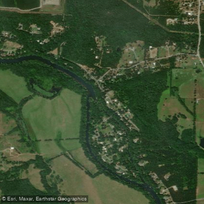
- Slick Rock Access → Dry Land Hollow Access
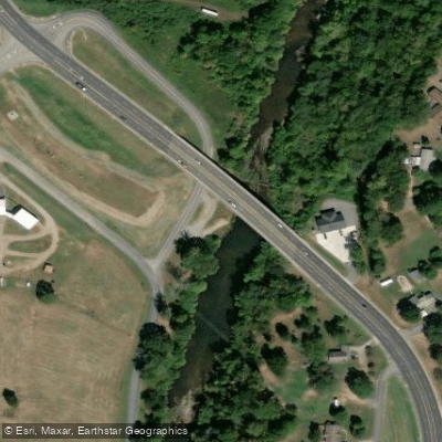
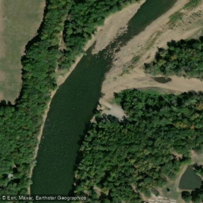
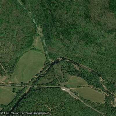
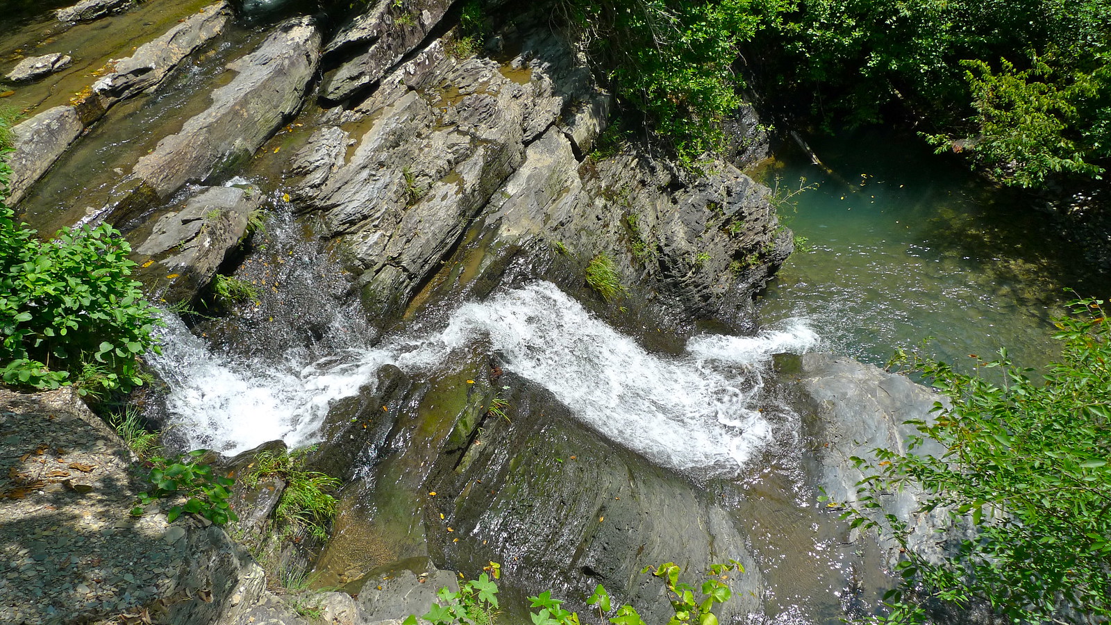
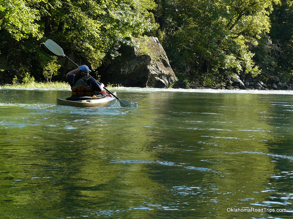
The South Fork Little Red River originates in the Ozark Mountains of north-central Arkansas, flowing generally eastward before joining the main stem of the Little Red River. This scenic waterway carves its way through the rugged terrain of Van Buren and Cleburne counties, draining a significant portion of the southern Ozark plateau. Paddlers can experience a variety of conditions on the South Fork, from calm stretches to challenging rapids. The 26.5-mile section from Brushy Fork to Highway 65 offers a mix of Class II-III whitewater suitable for intermediate paddlers. Another popular 9-mile float runs from Bluffton Preserve to Clinton City Park, featuring Class II rapids amidst beautiful Ozark scenery.
The river's difficulty ranges from Class I to III, with some sections requiring solid whitewater skills and others appropriate for beginners. Rapids can become more technical at higher water levels, so paddlers should always check current conditions before launching. Spring and early summer typically provide the most reliable flows for paddling, though autumn can offer spectacular foliage views. The river is generally too low for enjoyable paddling during late summer and winter months.
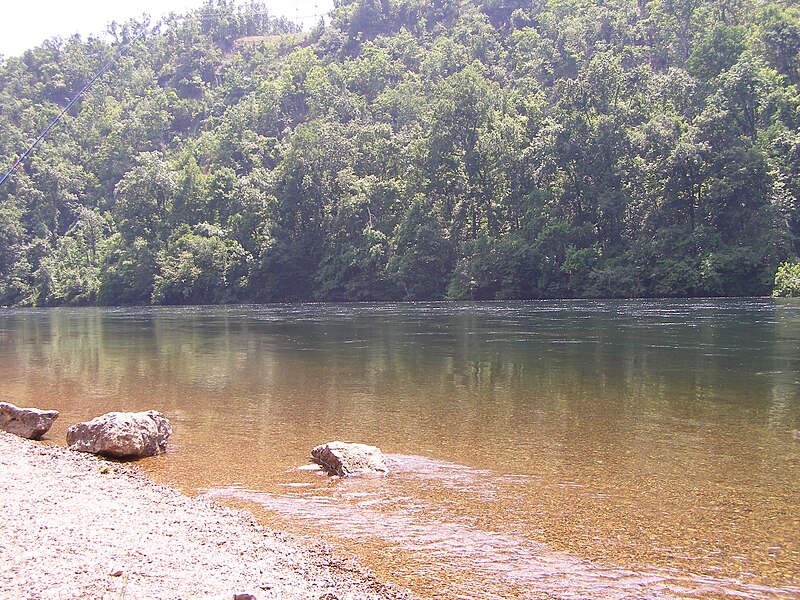
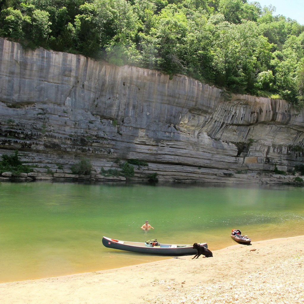
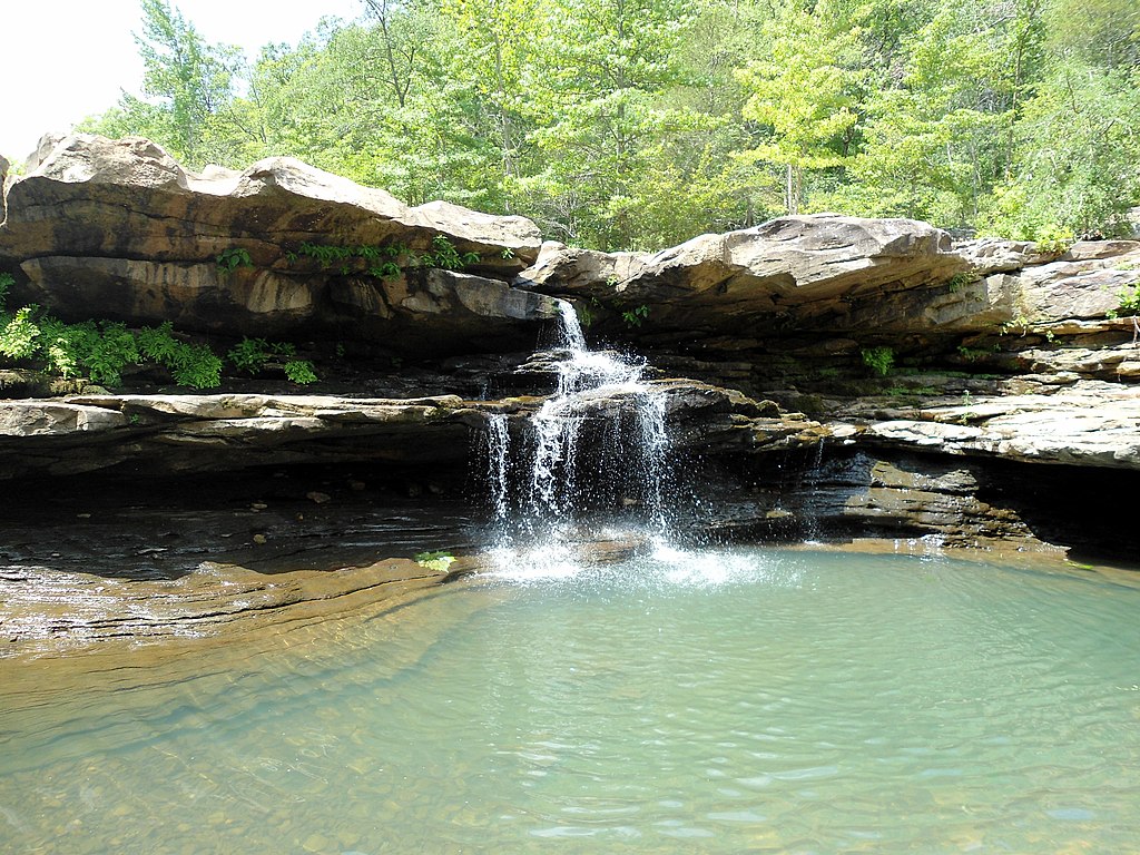
The South Fork's banks are lined with towering bluffs, limestone outcroppings, and dense hardwood forests. Wildlife sightings may include deer, turkey, and various bird species. The clear waters support populations of smallmouth bass and other game fish.
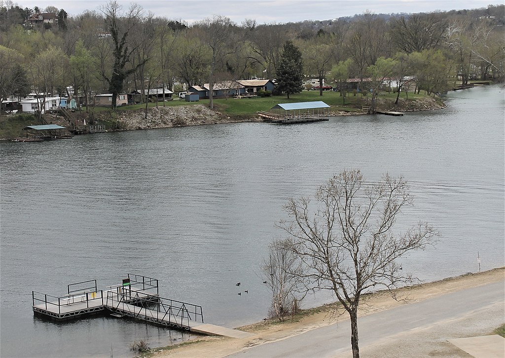
Key landmarks include the Bluffton Preserve, which encompasses four miles of riverfront and offers hiking trails. The confluence with Archey Fork near Clinton marks a significant change in the river's character as it approaches Greers Ferry Lake. Primary access points include Brushy Fork, Bluffton Preserve, and Clinton City Park. The nearby town of Clinton serves as a hub for outfitters and shuttle services.
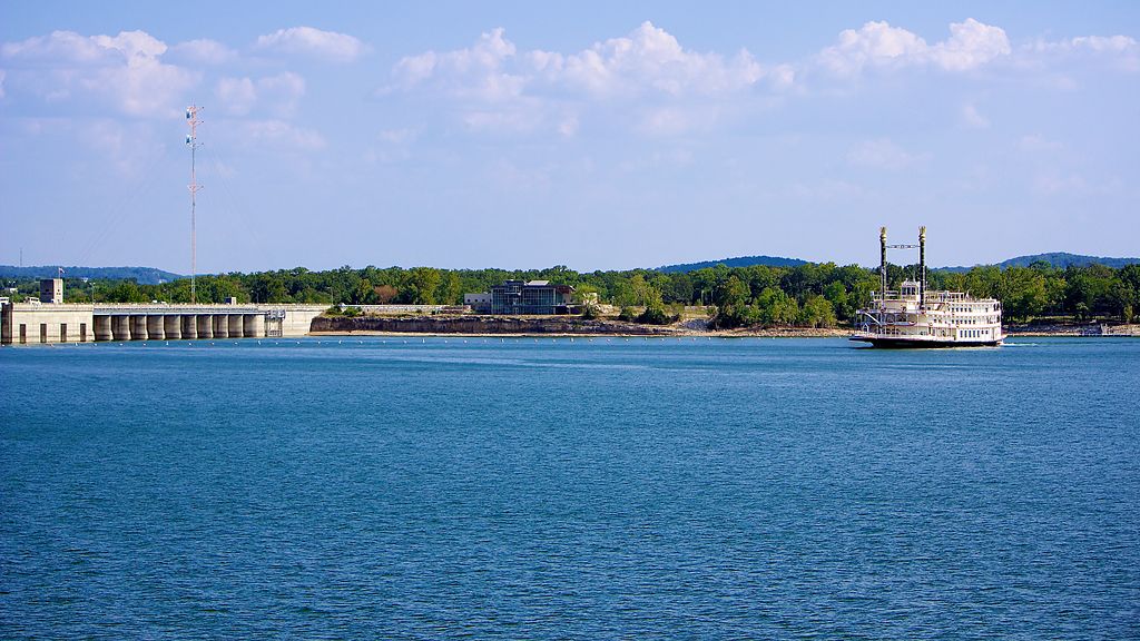
Historically, the river valley was home to Native American tribes before European settlement. Today, it plays a vital role in the region's recreational economy. Safety considerations include watching for strainers and being prepared for sudden water level changes. Paddlers should be aware that high lake levels on Greers Ferry can back up into the lower sections of the South Fork, potentially affecting currents.
For those seeking a multi-day adventure, the full 26.5-mile run from Brushy Fork to Highway 65 can be split into an overnight trip, though specific camping information is limited and paddlers should plan accordingly.
Curated routes
Hand-picked by the PaddleWays team, with put-ins, take-outs, paddle times and the hazards along the way.
RouteClass II–III
RouteClass II–III
Hazards
No hazards are marked on South Fork Little Red River yet. That is not the same as none being there: if you find one, report it for the next paddler.
From the community
Nobody has shared a trip on South Fork Little Red River yet. Paddle it, then tell the next paddler how it went.
See exactly where the public can get on and off the river. Launch points and boat ramps are paired with PaddleWays' public land data so you know where you can legally land.
Public shoreline
14%of the river's shoreline is public
Most of the riverbank is private. Launch, land and camp only at public access points.
Flows, weather and a route-by-route verdict, so you know which stretch of the South Fork Little Red River is worth paddling today.
All Flow Stations
Live flows, marked hazards and fresh trip reports from paddlers who were just on the water, all in one place.





Every user gets free access to launch points, boat ramps, and public property parcels.
Loading popular cities...
PaddleWays gives you everything you need to plan smarter, paddle better, and own every trip from first launch to takeout.