Anacapa Passage
- Saltwater
- Pass
Anacapa Passage
- Saltwater
- Pass
- Sq. miles
- 29
- Boat Ramps
- 0
- Access Points
- 0
- Campsites
- 2
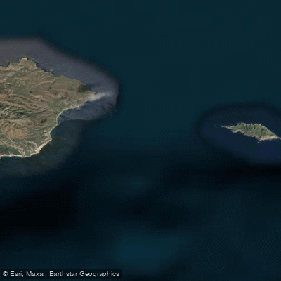
Anacapa Passage is a significant marine channel separating Santa Cruz Island from Anacapa Island within the Channel Islands National Park off the coast of Southern California. This open-water passage is known for generating challenging conditions, with winds and seas frequently becoming steeper and stronger than in surrounding areas, sometimes exceeding 35 knots. The passage is exposed to the prevailing northwest winds, which can create a difficult headwind for paddlers, and the seas can be steep, with spray a constant companion. Paddlers should be prepared for open ocean conditions and have the experience to handle light to moderate winds, typically in the 4.5 to 5.4 m/s range, though conditions can change rapidly. A common access point for kayakers exploring the southeastern edge of Santa Cruz Island and the passage is San Pedro Point on Santa Cruz Island, which involves navigating near caves and keyhole passages that require careful timing to avoid surging water. The area features kelp forests and provides views of the rugged island cliffs and sea caves. The water body is part of a national park, and paddlers should be aware of all applicable park regulations. The passage is also used by larger vessels, including ferries and historic naval traffic, so paddlers must maintain situational awareness for boat traffic when crossing.
Water access, boat ramps & amenities
Learn how to get on Anacapa Passage. Uncover great paddling access points, boat ramps, and all the facilities you need for an unforgettable day on the water. Some locations shown may border or include private property. Always check property boundaries and applicable regulations before visiting. PaddleWays's Public & Private Land layer can help you plan your access with confidence.
Paddle smarter with real-time insights
Whether you're en route and conditions shift or you're looking for the best spot based on current flows, we enable you to make informed decisions on the fly.








Find Places to Paddle

Over 400,000 Places to Paddle
Every user gets free access to launch points, boat ramps, and public property parcels.


Tides, wind & water conditions (10 day forecast)
On open water, wind and tide matter as much as the weather. See the best times to paddle Anacapa Passage and check the marine forecast before you launch.
Loading tide predictions…
Paddling near Anacapa Passage
Santa Ynez River
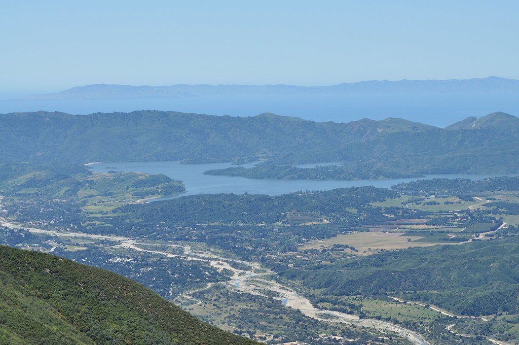
Lake Casitas
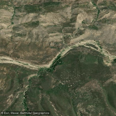
Sespe Creek
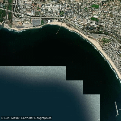
Pierpont Bay

Piru Creek
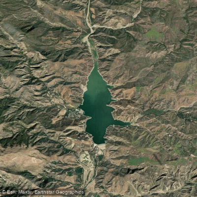
Lake Piru
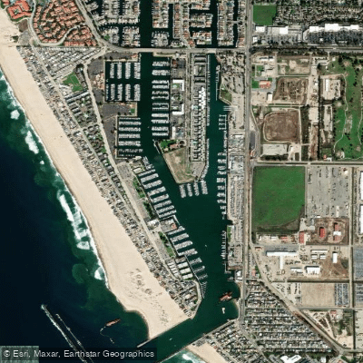
Channel Islands Harbor
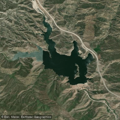
Pyramid Lake
Explore California waters
Top paddling waters
Popular Cities
Loading popular cities...
Explore near Anacapa Passage

Smarter Paddling Starts in the App.
Paddleways gives you everything you need to plan smarter, paddle better, and own every trip from first launch to takeout.