Pierpont Bay
- Saltwater
- Bay
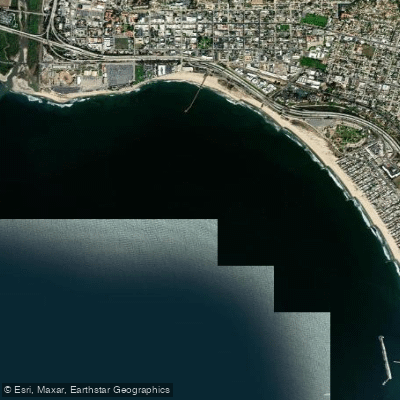
Pierpont Bay
- Saltwater
- Bay
- Sq. miles
- 2.1
- Boat Ramps
- 0
- Access Points
- 1
- Campsites
- 10
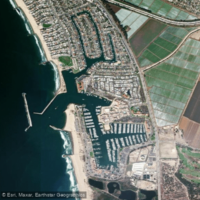
Pierpont Bay is a coastal bay located in Ventura, California, USA, adjacent to the Ventura Harbor. The primary and most specific access point for paddlers is the Pierpont Harbor Public Launch Ramp, which is suitable for launching kayaks, canoes, and stand-up paddleboards. This facility provides direct access to the bay and harbor waters. The bay is having sheltered waters within the harbor, which contrasts with the open Pacific Ocean coastline. The overall character is that of a vibrant coastal community with a marina and active water sports scene. The bay serves as a base for several paddling clubs, including the Hokuloa Outrigger Canoe Club, which practices at Harbor Cove Beach, and the Ventura Canoe & Kayak Club, which focuses on sprint racing. The Pierpont Bay Yacht Club, located on Spinnaker Drive in the Ventura Isle Marina, is a social hub overlooking the harbor. A key feature for paddlers is the bay's proximity to the Channel Islands, with organized club cruises departing for destinations like Santa Cruz Island, where accompanying kayaking is a listed activity. The waterfront promenade connects to the Ojai-Ventura Bike Trail, and the area around Ventura Harbor Village offers restaurants and shops. The presence of a dedicated launch ramp and multiple paddling clubs indicates this is an established area for paddlecraft.
Water access, boat ramps & amenities
Learn how to get on Pierpont Bay. Uncover great paddling access points, boat ramps, and all the facilities you need for an unforgettable day on the water. Some locations shown may border or include private property. Always check property boundaries and applicable regulations before visiting. PaddleWays's Public & Private Land layer can help you plan your access with confidence.
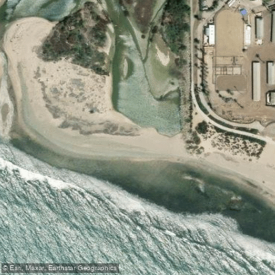
Paddle smarter with real-time insights
Whether you're en route and conditions shift or you're looking for the best spot based on current flows, we enable you to make informed decisions on the fly.








Find Places to Paddle

Over 400,000 Places to Paddle
Every user gets free access to launch points, boat ramps, and public property parcels.


Tides, wind & water conditions (10 day forecast)
On open water, wind and tide matter as much as the weather. See the best times to paddle Pierpont Bay and check the marine forecast before you launch.
Loading tide predictions…
Paddling near Pierpont Bay
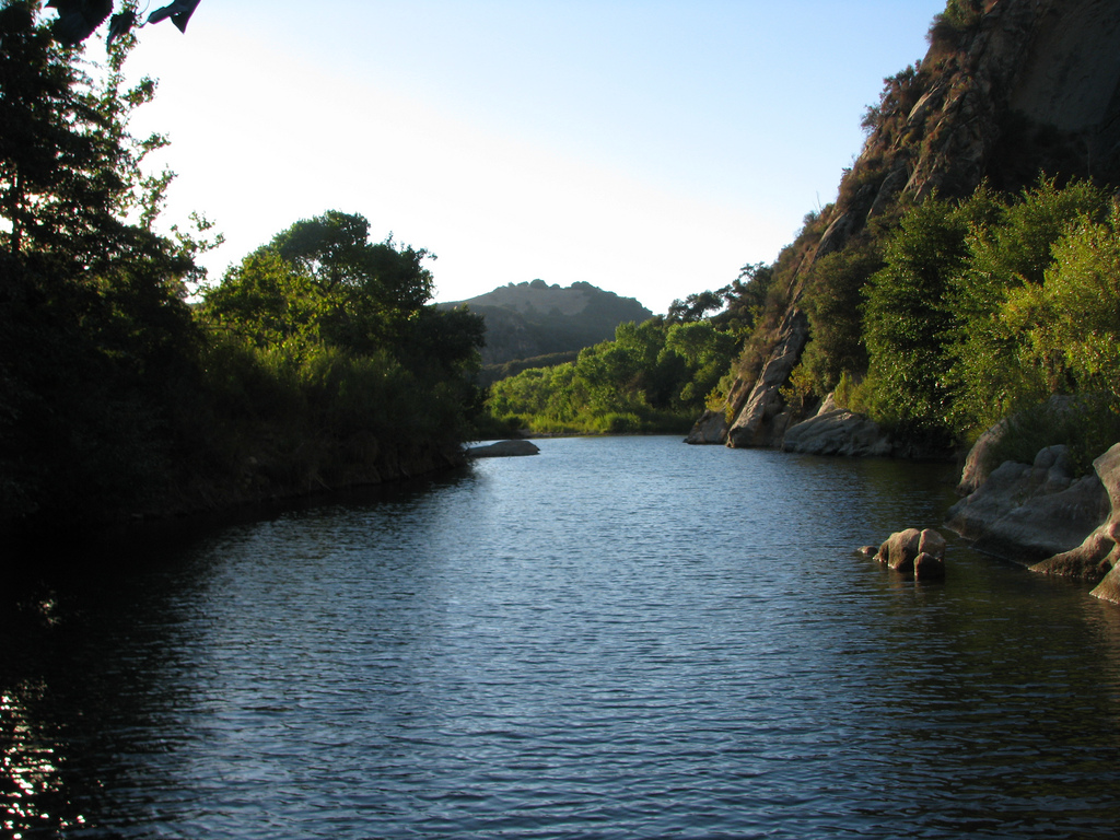
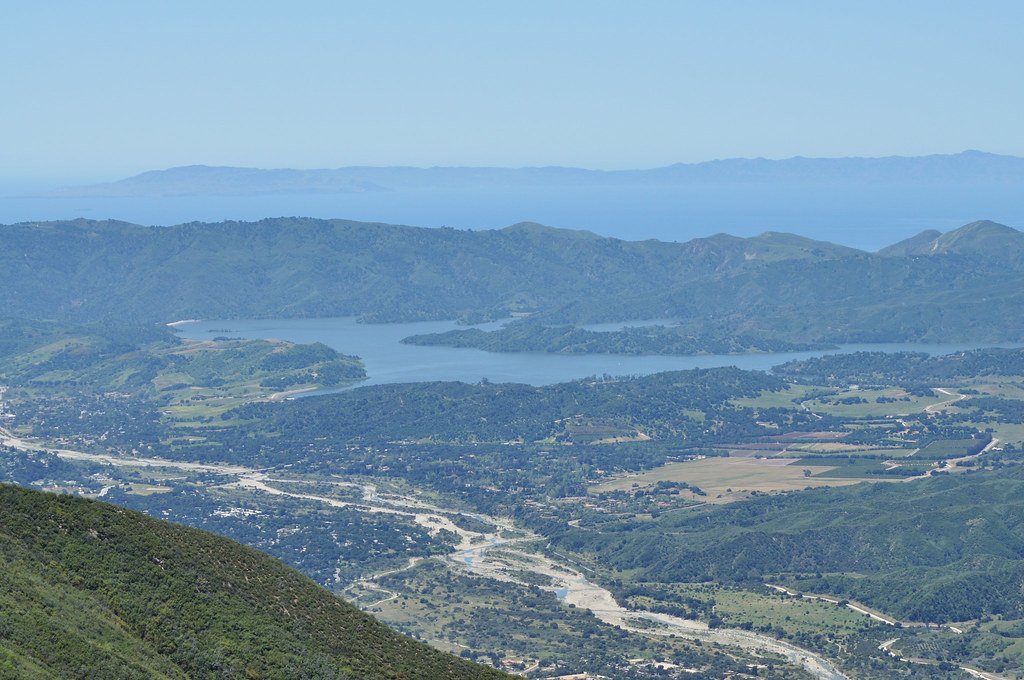

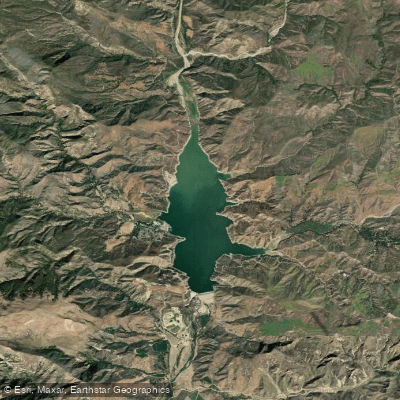
Explore California waters
Top paddling waters
Popular Cities
Loading popular cities...
Explore near Pierpont Bay
Access points
- Ventura River Access
- Emma Wood Hike/Bike Campground
- Ventura River Group Campground
- Ventura River Group Campground
- Ventura River Enroute Campground
- Ventura River Group Campground
- Ventura River Group Campground
- Emma Wood Enrount Campground
- North Beach Campground
- McGrath SB Campground
- McGrath Hike and Bike Campground
Nearby waters
More in California

Smarter Paddling Starts in the App.
Paddleways gives you everything you need to plan smarter, paddle better, and own every trip from first launch to takeout.