Bechers Bay
- Saltwater
- Bay
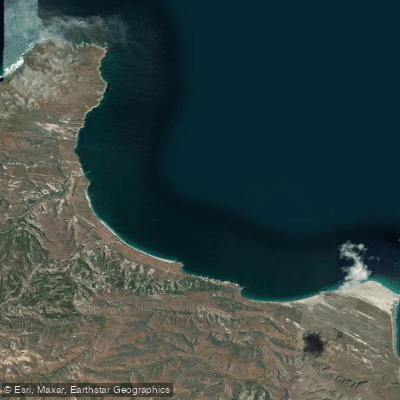
Bechers Bay
- Saltwater
- Bay
- Sq. miles
- 6.5
- Boat Ramps
- 0
- Access Points
- 1
- Campsites
- 2
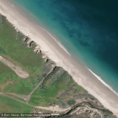
Bechers Bay is the main port of entry and primary paddling launch point for Santa Rosa Island within Channel Islands National Park, California. Access is exclusively by boat, with day-trippers and campers typically arriving via the Island Packers concession boat, which docks at the historic pier in the bay. This pier is the designated landing point, and paddlers must step from the boat to a landing and climb stairs to the top of the pier. The bay itself is a colossal, crescent moon-shaped bay that provides some protection from the strong northwest winds, though it is a lee shore that can become hazardous when winds pick up. The bay features a beautiful, wind-swept, white-sand beach. For campers, the Water Canyon Campground is located approximately 1.5 miles from the pier. Paddling conditions are heavily influenced by the island's exposed maritime climate, which is known for strong, steady afternoon winds year-round; visitors should be prepared for cool, foggy, and windy conditions even in summer. The surrounding coastline possesses interesting rock formations, including fantastic arches and sea caves, with over 200 documented sea caves on the island's shores. A recommended day trip is a four-mile roundtrip paddle from Bechers Bay north to Carrington Point, where paddlers can expect an increase in swell and wind and encounter seabirds, seals, and sea lions. When returning from this northern paddle, swell, current, and wind are often at your back. Important regulations require paddlers to remain on wet sand below the mean high tide line in the area between Skunk Point and just north of East Point from March 1 to September 15 to protect snowy plover nesting sites; the beaches around Sandy Point are closed year-round. There is potable water available at the pier area and campground for day visitors and campers. The overall experience is one of remote exploration, with a high likelihood of having stretches of coastline to oneself, but it demands respect for variable and potentially severe weather and ocean conditions.
Water access, boat ramps & amenities
Learn how to get on Bechers Bay. Uncover great paddling access points, boat ramps, and all the facilities you need for an unforgettable day on the water. Some locations shown may border or include private property. Always check property boundaries and applicable regulations before visiting. PaddleWays's Public & Private Land layer can help you plan your access with confidence.
Paddle smarter with real-time insights
Whether you're en route and conditions shift or you're looking for the best spot based on current flows, we enable you to make informed decisions on the fly.








Find Places to Paddle

Over 400,000 Places to Paddle
Every user gets free access to launch points, boat ramps, and public property parcels.


Tides, wind & water conditions (10 day forecast)
On open water, wind and tide matter as much as the weather. See the best times to paddle Bechers Bay and check the marine forecast before you launch.
Loading tide predictions…
Paddling near Bechers Bay
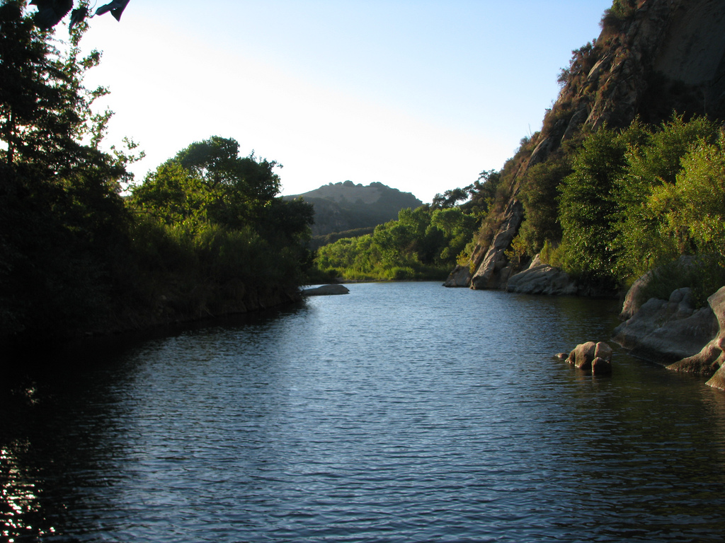
Santa Ynez River
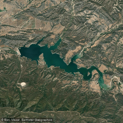
Lake Cachuma
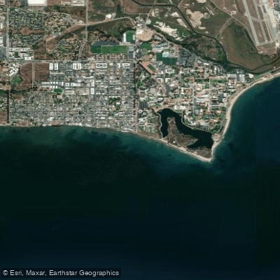
Isla Vista Beach
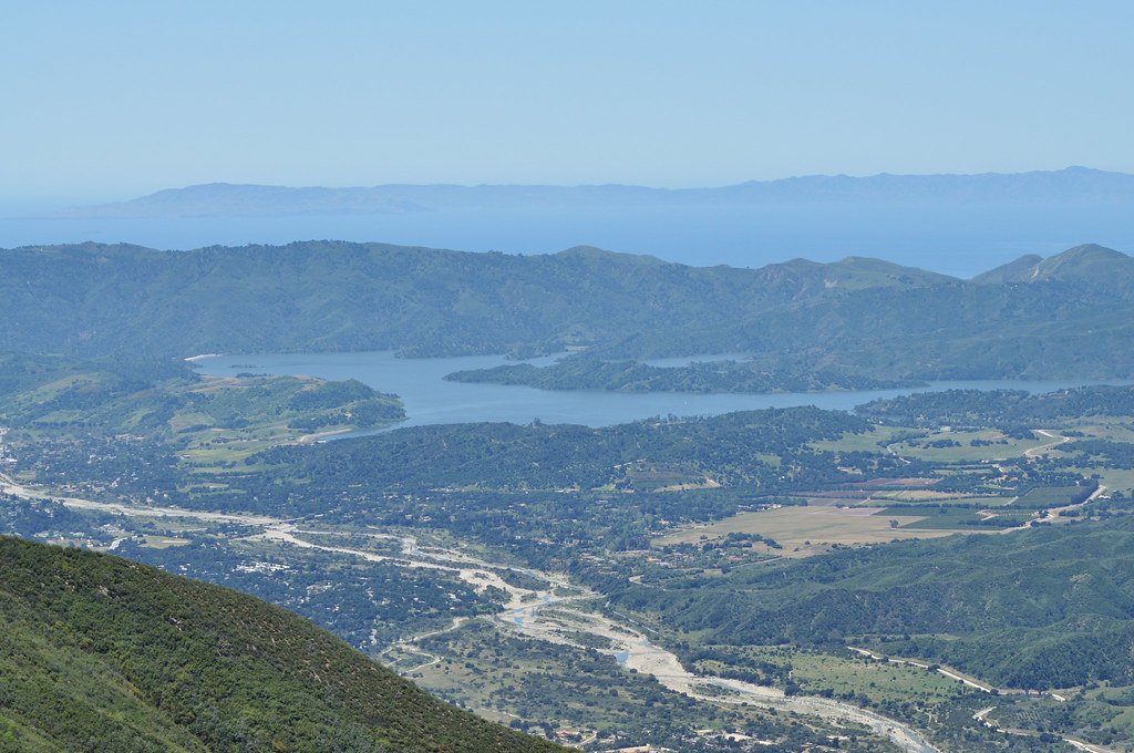
Lake Casitas
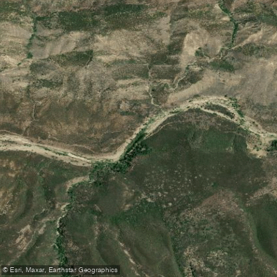
Sespe Creek
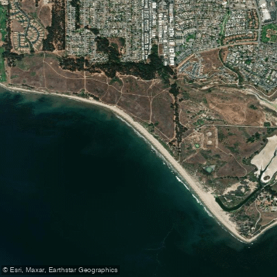
Ellwood Beach

Piru Creek
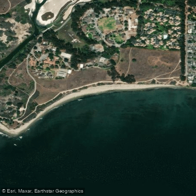
Devereux Beach
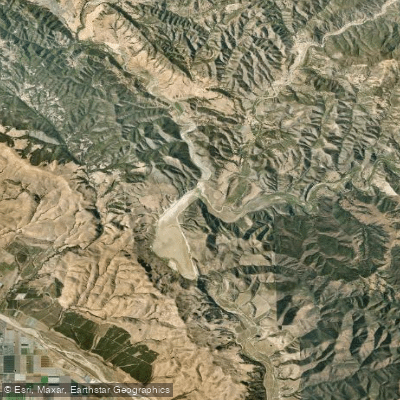
Twitchell Reservoir
Explore California waters
Top paddling waters
Popular Cities
Loading popular cities...
Explore near Bechers Bay

Smarter Paddling Starts in the App.
Paddleways gives you everything you need to plan smarter, paddle better, and own every trip from first launch to takeout.