Cache Slough
- Saltwater
- Sea area
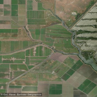
Cache Slough
- Saltwater
- Sea area
- Sq. miles
- 0.1
- Boat Ramps
- 0
- Access Points
- 0
- Campsites
- 0
Cache Slough is a tidal waterway in California's Sacramento-San Joaquin Delta, functioning as the deepwater shipping channel leading to Sacramento. A primary access point for paddlers is the area just north of Rio Vista, where launches occur from the shoreline. This slough is part of the larger Cache Slough Complex, a network of tidal wetlands and sloughs characterized by winding channels, tule reed marshes, and floodplains. The paddling environment is largely undeveloped and remote, with scenery along the main channel described as unvaried, but it provides access to more intimate side sloughs like Miner Slough and Steamboat Slough. These adjacent waterways feature cottonwood and eucalyptus trees, blackberry bushes, and offer a more secluded experience.
Tidal influence is significant, with a typical high tide range around 3 to 3.5 feet. Paddlers use the incoming tide to assist travel north from Rio Vista, and the outgoing tide to assist the return south, indicating strong currents that must be planned for. The area is exposed to wind, which can frequently blow from the northwest at 10-15 mph with higher gusts, creating choppy conditions especially over the long, open fetch of the main shipping channel. This same channel also carries commercial barge and ship traffic, which is a major hazard; routes often require crossing this active channel to reach other sloughs. Facilities are limited, with developed launch ramps and docks found at nearby county parks like Hogback Island, which has picnic areas and restrooms but no gentle beaches for landing.
The complex supports rich wildlife, including great blue herons and egrets, and is a critical habitat for migratory birds on the Pacific Flyway. Paddlers may encounter flooded historical sites, such as remnants on Prospect Island, and areas like the Lindsey Slough Restoration Project. Water quality has been a focus of environmental study and restoration due to its role as habitat for endangered fish species. The overall experience is one of a working, tidal delta landscape where trip success depends heavily on timing tides, watching for wind, and being vigilant for large vessel traffic.
Water access, boat ramps & amenities
Learn how to get on Cache Slough. Uncover great paddling access points, boat ramps, and all the facilities you need for an unforgettable day on the water. Some locations shown may border or include private property. Always check property boundaries and applicable regulations before visiting. PaddleWays's Public & Private Land layer can help you plan your access with confidence.
Paddle smarter with real-time insights
Whether you're en route and conditions shift or you're looking for the best spot based on current flows, we enable you to make informed decisions on the fly.








Find Places to Paddle

Over 400,000 Places to Paddle
Every user gets free access to launch points, boat ramps, and public property parcels.


Tides, wind & water conditions (10 day forecast)
On open water, wind and tide matter as much as the weather. See the best times to paddle Cache Slough and check the marine forecast before you launch.
Loading tide predictions…
Paddling near Cache Slough

Sacramento River

American River
Shag Slough

San Joaquin River
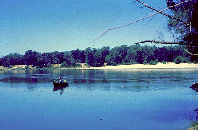
Feather River
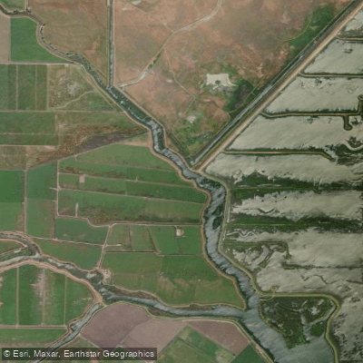
Haas Slough

Mokelumne River
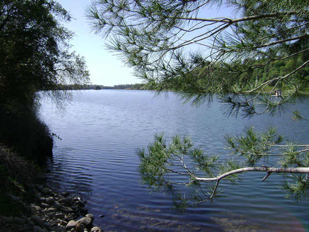
Lake Natoma
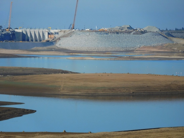
Folsom Lake
Explore California waters
Top paddling waters
Popular Cities
Loading popular cities...
Explore near Cache Slough

Smarter Paddling Starts in the App.
Paddleways gives you everything you need to plan smarter, paddle better, and own every trip from first launch to takeout.