Shag Slough
- Saltwater
- Sea area
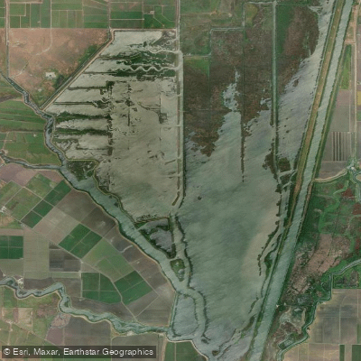
Shag Slough
- Saltwater
- Sea area
- Sq. miles
- 0.4
- Boat Ramps
- 0
- Access Points
- 0
- Campsites
- 0
Shag Slough is a tidal slough located in the Cache Slough region of California's Sacramento-San Joaquin River Delta. It is a saltwater-influenced feature connected to the Sacramento River, with its flow and water levels governed by Pacific Ocean tides and releases from upstream dams. The Liberty Island Ecological Reserve, maintained by the California Department of Fish and Wildlife, is located on the eastern side of Shag Slough and provides public recreational access. This area is a focal point for paddlers, though there is an active concern regarding potential loss of access due to the proposed Lookout Slough Tidal Habitat Restoration project, which critics state could cut off several miles of bank fishing and hunting access. Paddlers should verify current access status before planning a trip.
The slough provides a connection to Liberty Island and the surrounding wetlands, offering a paddling experience through open water and channels. The area is valued for its open space and is used extensively for fishing and waterfowl hunting, which means paddlers should be aware of other boat traffic and hunters during waterfowl seasons. As a tidal area within the Delta, wind exposure can be significant across open stretches, and currents will be strongest during peak tidal exchanges. Planning a paddle to work with the tidal flow is essential for managing effort. The water is part of a critical habitat area for native fish like the Delta smelt, indicating a generally healthy, though managed, ecosystem. Facilities are limited, with the primary amenities being the public access points managed by the reserve. The landscape is characterized by Delta wetlands, providing opportunities to observe waterfowl and other wildlife in a setting that blends open water with vegetated banks.
Water access, boat ramps & amenities
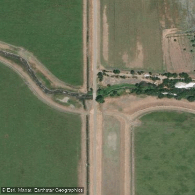
Learn how to get on Shag Slough. Uncover great paddling access points, boat ramps, and all the facilities you need for an unforgettable day on the water. Some locations shown may border or include private property. Always check property boundaries and applicable regulations before visiting. PaddleWays's Public & Private Land layer can help you plan your access with confidence.
Paddle smarter with real-time insights
Whether you're en route and conditions shift or you're looking for the best spot based on current flows, we enable you to make informed decisions on the fly.








Find Places to Paddle

Over 400,000 Places to Paddle
Every user gets free access to launch points, boat ramps, and public property parcels.


Tides, wind & water conditions (10 day forecast)
On open water, wind and tide matter as much as the weather. See the best times to paddle Shag Slough and check the marine forecast before you launch.
Loading tide predictions…
Paddling near Shag Slough

Sacramento River

American River

San Joaquin River
Feather River
Haas Slough

Mokelumne River
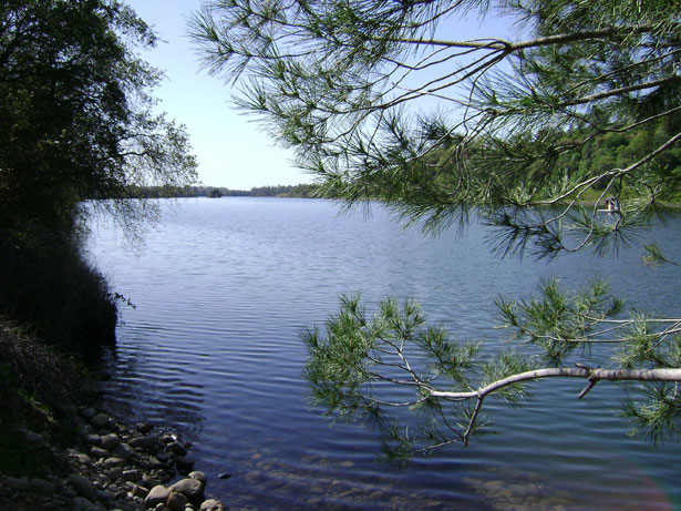
Lake Natoma
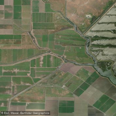
Cache Slough
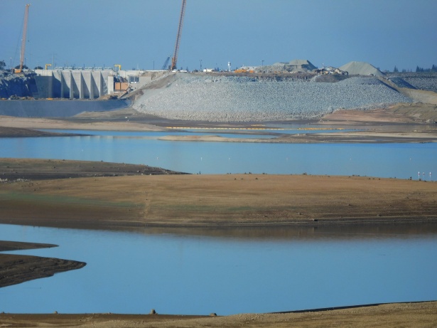
Folsom Lake
Explore California waters
Top paddling waters
Popular Cities
Loading popular cities...
Explore near Shag Slough

Smarter Paddling Starts in the App.
Paddleways gives you everything you need to plan smarter, paddle better, and own every trip from first launch to takeout.