Haas Slough
- Saltwater
- Sea area
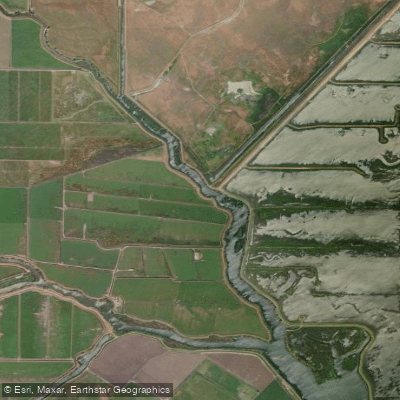
Haas Slough
- Saltwater
- Sea area
- Sq. miles
- 0.1
- Boat Ramps
- 0
- Access Points
- 0
- Campsites
- 0
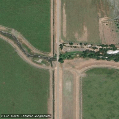
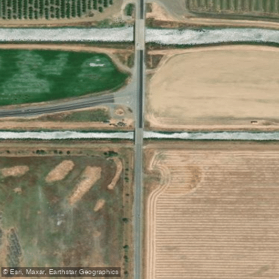
Haas Slough is a navigable waterway located in Solano County, California, within the broader Sacramento-San Joaquin Delta system. The slough is characterized by its role as a drainage channel and is part of a levee-protected flood control area, with banks that can be impacted by cattle trampling. For paddlers, key access points include the Hass Slough Bridge and the New Alamo Creek Channel Bridge, which serve as put-in and take-out locations. The area has relatively limited navigable waterways and minimal boating-related facilities, suggesting a more remote and undeveloped paddling environment. The slough connects to other waterways like Cache Slough, Miner Slough, and the Sacramento Deep Water Ship Channel, indicating potential for extended routes through a network of Delta sloughs. Given its location in the tidal Delta, paddlers must plan for significant tidal currents; timing trips to paddle with the flood tide upstream or the ebb tide downstream is essential for manageable travel. The open water and long fetch typical of the Delta region mean wind can be a major hazard, creating choppy conditions that are challenging for small craft. Boat traffic from larger vessels using the connected ship channels is a consideration, requiring vigilance, especially at confluences. Wildlife is present, with the drainage supporting various species, and the scenery includes typical Delta landscapes of levees and agricultural land. There are no indicated specific restrictions on paddling itself, but paddlers should be aware of standard public waterway regulations and respect any private land boundaries indicated on planning tools. Water quality is influenced by agricultural drainage. The paddling experience is best suited for those comfortable with self-supported trips in a working Delta environment with limited services.
Water access, boat ramps & amenities
Learn how to get on Haas Slough. Uncover great paddling access points, boat ramps, and all the facilities you need for an unforgettable day on the water. Some locations shown may border or include private property. Always check property boundaries and applicable regulations before visiting. PaddleWays's Public & Private Land layer can help you plan your access with confidence.
Paddle smarter with real-time insights
Whether you're en route and conditions shift or you're looking for the best spot based on current flows, we enable you to make informed decisions on the fly.








Find Places to Paddle

Over 400,000 Places to Paddle
Every user gets free access to launch points, boat ramps, and public property parcels.


Tides, wind & water conditions (10 day forecast)
On open water, wind and tide matter as much as the weather. See the best times to paddle Haas Slough and check the marine forecast before you launch.
Loading tide predictions…
Paddling near Haas Slough

Sacramento River

American River
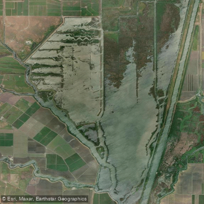
Shag Slough

San Joaquin River
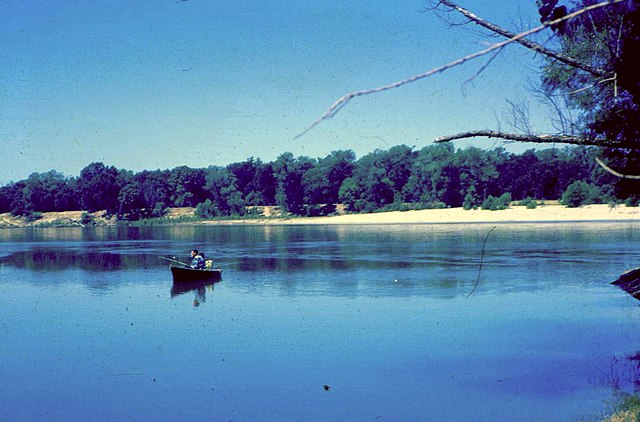
Feather River

Mokelumne River
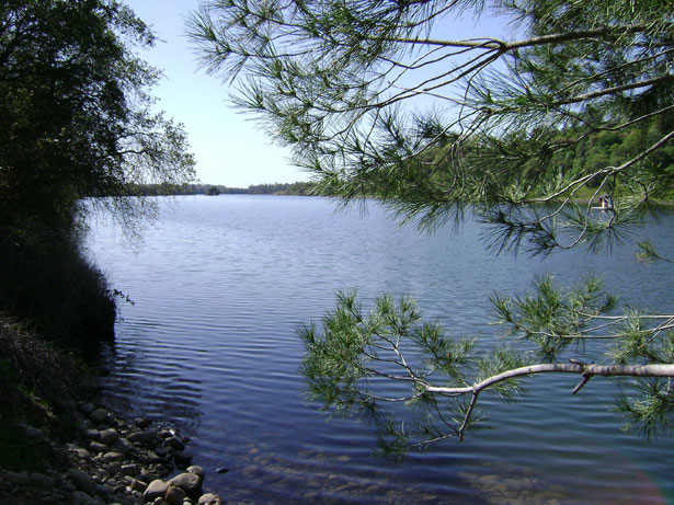
Lake Natoma
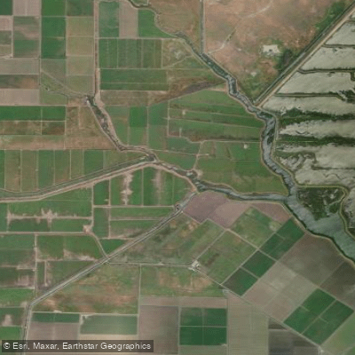
Cache Slough
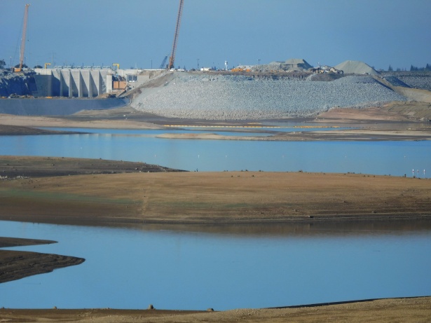
Folsom Lake
Explore California waters
Top paddling waters
Popular Cities
Loading popular cities...
Explore near Haas Slough

Smarter Paddling Starts in the App.
Paddleways gives you everything you need to plan smarter, paddle better, and own every trip from first launch to takeout.