Corkscrew Slough
- Saltwater
- Sea area
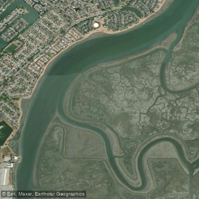
Corkscrew Slough
- Saltwater
- Sea area
- Sq. miles
- 0.5
- Boat Ramps
- 0
- Access Points
- 0
- Campsites
- 0
Corkscrew Slough is a tidal saltwater channel located within the San Francisco Bay near Redwood City, California, forming part of the Bair Island Ecological Reserve. The primary paddling route is an 8.75-mile loop that begins and ends at the Port of Redwood City, utilizing Redwood Creek, Corkscrew Slough, and Smith Slough. This loop provides a scenic tour of the reserve's restored salt ponds and marshlands, passing between the Outer and Middle Bair Islands. The experience is characterized by its exposure to wind and strong tidal currents, making it a challenging route suitable for experienced paddlers. Winds frequently and substantially increase in the afternoon, particularly during summer months, which can make the return paddle difficult. The slough contains two flow restrictors, or hydraulic control structures, where water can move rapidly, especially during lower tides; paddlers should pass through the middle of these gates or turn back if conditions appear hazardous. The initial and final segments on Redwood Creek involve crossing an active commercial shipping channel used by barges and large ships; paddlers must give these vessels the right of way and a wide berth due to dangerous propeller wash. A notable wildlife feature is a harbor seal haul-out site within Corkscrew Slough; it is critical to observe seals from a distance to avoid disturbing them. The area also supports a variety of bird species. Paddlers are instructed to stay only on the main sloughs and open bay waters and not enter the smaller interior slough channels within the ecological reserve. Seasonal hunting is allowed in portions of the reserve. Trip timing is heavily dependent on tides, as currents intensify during tidal changes, and planning should account for paddling against or with these flows.
Water access, boat ramps & amenities
Learn how to get on Corkscrew Slough. Uncover great paddling access points, boat ramps, and all the facilities you need for an unforgettable day on the water. Some locations shown may border or include private property. Always check property boundaries and applicable regulations before visiting. PaddleWays's Public & Private Land layer can help you plan your access with confidence.

Paddle smarter with real-time insights
Whether you're en route and conditions shift or you're looking for the best spot based on current flows, we enable you to make informed decisions on the fly.








Find Places to Paddle

Over 400,000 Places to Paddle
Every user gets free access to launch points, boat ramps, and public property parcels.


Tides, wind & water conditions (10 day forecast)
On open water, wind and tide matter as much as the weather. See the best times to paddle Corkscrew Slough and check the marine forecast before you launch.
Loading tide predictions…
Paddling near Corkscrew Slough

San Joaquin River

Sacramento River

San Francisco Bay
Lake Chabot
Upper San Leandro Reservoir
Calaveras Reservoir
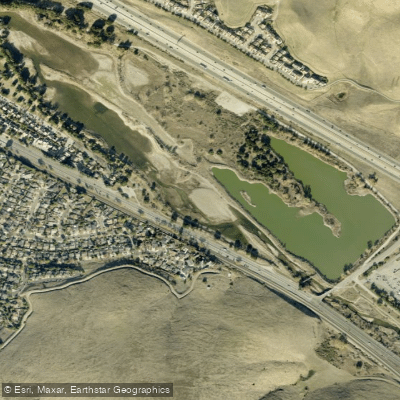
Coyote Creek
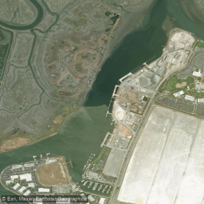
Redwood Creek
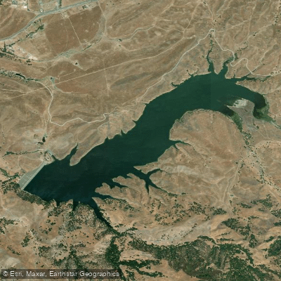
San Antonio Reservoir
Explore California waters
Top paddling waters
Popular Cities
Loading popular cities...
Explore near Corkscrew Slough
Access points
Nearby waters
More in California

Smarter Paddling Starts in the App.
Paddleways gives you everything you need to plan smarter, paddle better, and own every trip from first launch to takeout.