Cosumnes River
- Saltwater
- Tidal river
Cosumnes River
- Saltwater
- Tidal river
- Sq. miles
- 0
- Boat Ramps
- 0
- Access Points
- 0
- Campsites
- 0
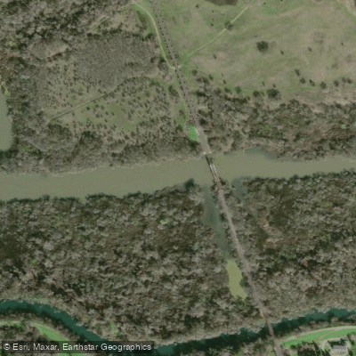
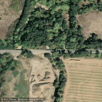
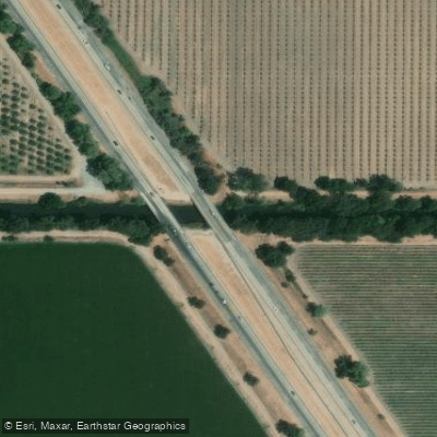
The Cosumnes River, flowing through the Cosumnes River Preserve in California's Central Valley, is an 80-mile, free-flowing river offering flatwater paddling through sloughs, riparian forests, and wetlands. The only legal public access point for paddlers is the dock located approximately 200 yards south of the visitor center parking lot at 13501 Franklin Blvd in Galt. A concrete path leads to the launch, and the use of a canoe cart is recommended for transporting craft. This is a day-use area only, open from sunrise to sunset, with no camping allowed. Only non-gas-powered boats like kayaks, canoes, and stand-up paddleboards are permitted to launch from this dock. While motorized boats are not restricted by state law on the waterways, shallow depths and vegetation make their use difficult, and they are prohibited from launching at the preserve.
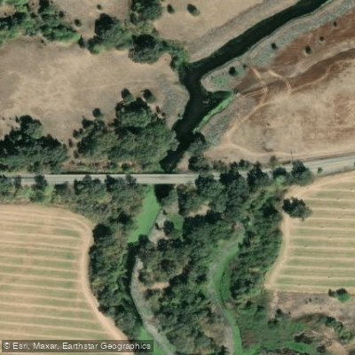
The river's current is generally gentle, providing excellent flatwater conditions throughout spring, summer, and fall. However, the waterway is tidally influenced, and paddlers must check tide and current predictions before a trip. Conditions can change rapidly after rainstorms, with the river becoming fast-flowing and hazardous. A recommended scenic route is a leisurely three-hour loop. From the launch, paddlers head south into the Middle Slough, then east before turning upstream to pass under a historic railroad bridge. Key landmarks include a take-out point known as "The Point" and, further upstream at the fork with Tihuechemne Slough, a second take-out called "Tall Forest," where paddlers must stay in the designated clearing. The channel narrows and currents can become swift in this upstream section, requiring caution. Paddlers often see abundant wildlife including forest birds, raptors, egrets, herons, cormorants, beavers, and otters within California's largest remaining valley oak riparian forest. No pets are allowed on the preserve, only service animals.
Water access, boat ramps & amenities
Learn how to get on Cosumnes River. Uncover great paddling access points, boat ramps, and all the facilities you need for an unforgettable day on the water. Some locations shown may border or include private property. Always check property boundaries and applicable regulations before visiting. PaddleWays's Public & Private Land layer can help you plan your access with confidence.
Paddle smarter with real-time insights
Whether you're en route and conditions shift or you're looking for the best spot based on current flows, we enable you to make informed decisions on the fly.








Find Places to Paddle

Over 400,000 Places to Paddle
Every user gets free access to launch points, boat ramps, and public property parcels.


Tides, wind & water conditions (10 day forecast)
On open water, wind and tide matter as much as the weather. See the best times to paddle Cosumnes River and check the marine forecast before you launch.
Loading tide predictions…
Paddling near Cosumnes River

Mokelumne River

Sacramento River
Snodgrass Slough

San Joaquin River

American River
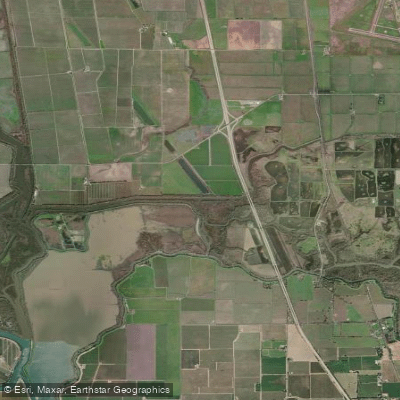
Lost Slough
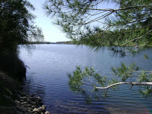
Lake Natoma
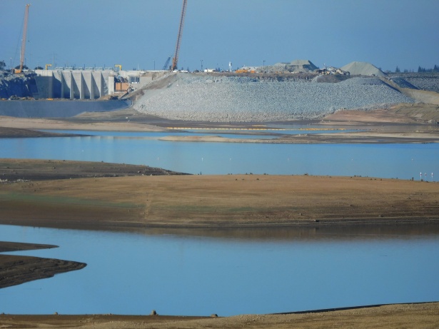
Folsom Lake

North Fork American River
Explore California waters
Top paddling waters
Popular Cities
Loading popular cities...
Explore near Cosumnes River
Access points
Nearby waters
More in California

Smarter Paddling Starts in the App.
Paddleways gives you everything you need to plan smarter, paddle better, and own every trip from first launch to takeout.