Coyote Creek
- Saltwater
- Tidal creek
Coyote Creek
- Saltwater
- Tidal creek
- Sq. miles
- 1.3
- Boat Ramps
- 0
- Access Points
- 0
- Campsites
- 0
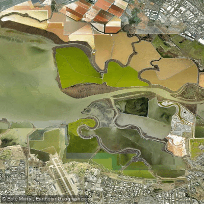
Coyote Creek is a seasonal flatwater channel flowing north into Fern Ridge Lake within the Fern Ridge Wildlife Area, just minutes from Eugene. The primary and recommended access point is the Coyote Creek Canoe Access, a simple, undeveloped bank launch off Cantrell Road. Parking is free on the road's north shoulder. This launch can involve a steep drop of a couple of feet from the bank to the water depending on reservoir levels, requiring careful boat entry. An alternative, less direct launch is available at Perkins Peninsula Park, which has a boat ramp but requires a day-use fee or county pass and involves paddling east along the lake's edge to reach the creek inlet. The paddling experience is defined by the reservoir's managed water levels. The creek is only reliably paddleable in spring and summer when Fern Ridge Lake is maintained at or near full pool; it becomes inaccessible in fall and winter during drawdowns for flood control. During the usable season, the current is minimal, and the tree-lined banks provide significant shelter from wind, making it a beginner-friendly route. The water is muddy or turbid. Paddlers share the channel with wildlife, not motorboats, as a slow, no-wake restriction is in place. The route meanders under a highway bridge and railroad trestle near the put-in and continues through a shaded corridor of oak, ash, and maple trees, creating a sense of seclusion despite proximity to the highway. Notable sights include abundant birdlife, with over 250 species reported in the wildlife area, as well as potential sightings of herons, osprey, beavers, and frogs. Hazards include submerged snags and trees, particularly at lower water levels, and the potential for mosquitoes. All paddlecraft 10 feet or longer require an Oregon Waterway Access Permit. The area has no restrooms at the canoe access, and cellular service is reported as average to fair.
Water access, boat ramps & amenities
Learn how to get on Coyote Creek. Uncover great paddling access points, boat ramps, and all the facilities you need for an unforgettable day on the water. Some locations shown may border or include private property. Always check property boundaries and applicable regulations before visiting. PaddleWays's Public & Private Land layer can help you plan your access with confidence.
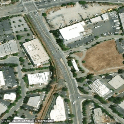
Paddle smarter with real-time insights
Whether you're en route and conditions shift or you're looking for the best spot based on current flows, we enable you to make informed decisions on the fly.








Find Places to Paddle

Over 400,000 Places to Paddle
Every user gets free access to launch points, boat ramps, and public property parcels.


Tides, wind & water conditions (10 day forecast)
On open water, wind and tide matter as much as the weather. See the best times to paddle Coyote Creek and check the marine forecast before you launch.
Loading tide predictions…
Paddling near Coyote Creek
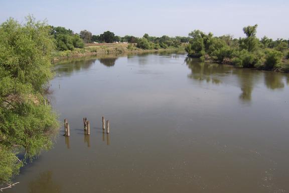
San Joaquin River
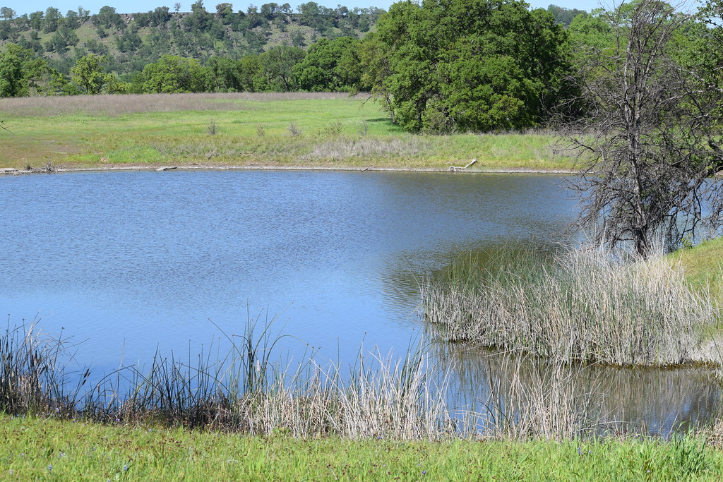
Sacramento River
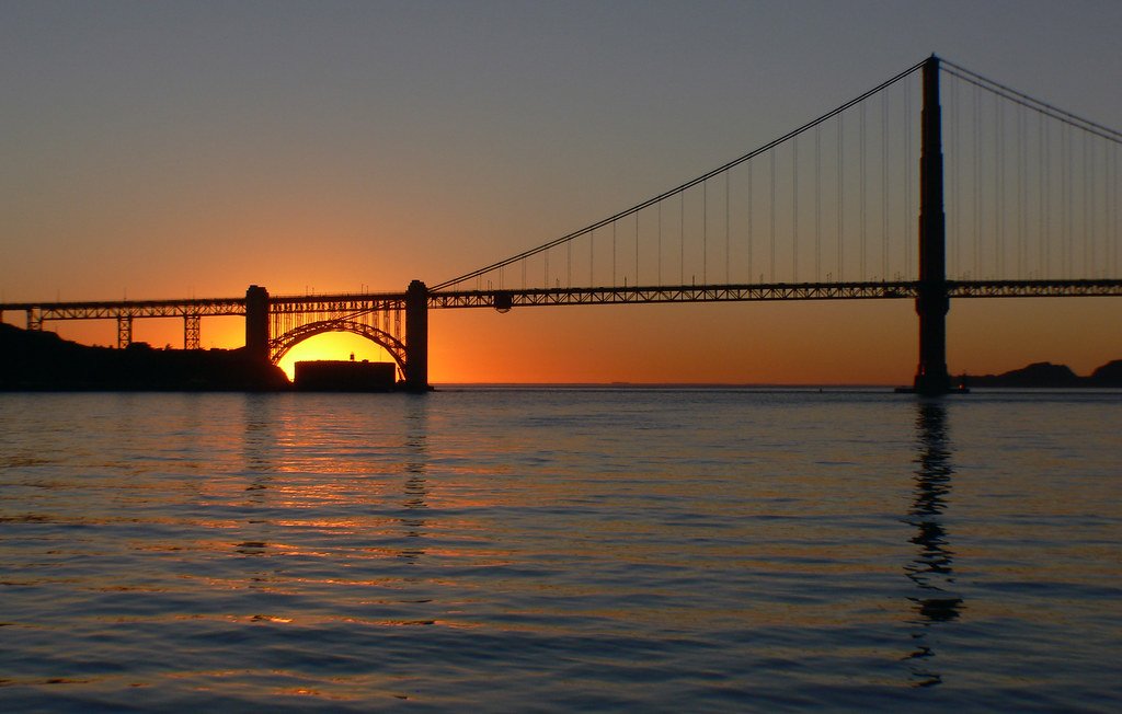
San Francisco Bay
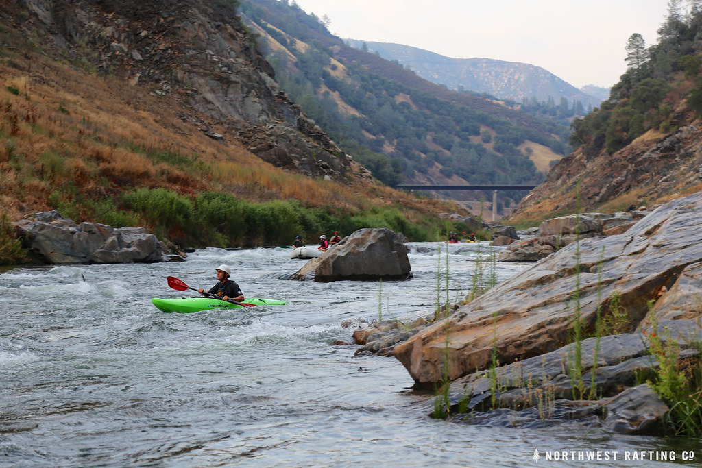
Stanislaus River
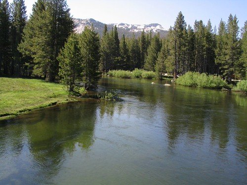
Tuolumne River
Mayfield Slough
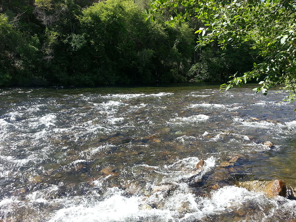
Mokelumne River
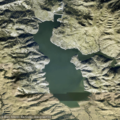
Calaveras Reservoir
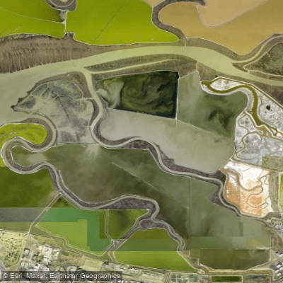
Alviso Slough
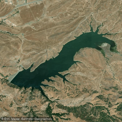
San Antonio Reservoir
Explore California waters
Top paddling waters
Popular Cities
Loading popular cities...
Explore near Coyote Creek
Access points
Nearby waters
More in California

Smarter Paddling Starts in the App.
Paddleways gives you everything you need to plan smarter, paddle better, and own every trip from first launch to takeout.