Mayfield Slough
- Saltwater
- Sea area
Mayfield Slough
- Saltwater
- Sea area
- Sq. miles
- 0.3
- Boat Ramps
- 0
- Access Points
- 1
- Campsites
- 0
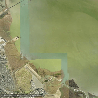
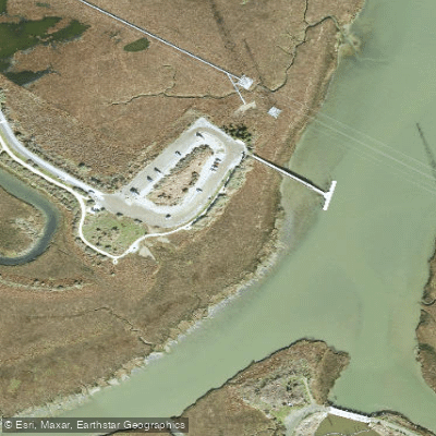
Mayfield Slough is a tidal slough located within the Palo Alto Baylands Nature Preserve in Santa Clara County, California. It is a coastal saltwater feature influenced by the tides of San Francisco Bay. A primary public access point for paddlers is the Palo Alto Boat Launch at the eastern end of Embarcadero Road, which provides direct entry to the slough. The waterway connects to the larger 618-acre Palo Alto Flood Control Basin, which collects flows from several creeks including Matadero Creek that feeds into Mayfield Slough. The slough is bordered by the Byxbee Recreation Area, and paddlers can explore the interface between the open water and the muted tidal marsh. The overall character is that of a flatwater, marshy bayland environment with views of the surrounding preserve and distant hills.
Paddling here is entirely dependent on the tide, and real-time water level data is available from the Mayfield Slough Tidal Station operated by NOAA. Paddlers must consult this data and plan their trips accordingly, as water levels can vary significantly. The area is known for abundant birdlife, including California Gulls, American White Pelicans, and burrowing owls in the adjacent Byxbee Park. Beavers have also been reported in the slough. The setting is largely natural and open, with wide skies and marsh grasses, though the ambient drone of nearby Highway 101 is often audible. The slough is part of a network of waterways including Charleston Slough and Adobe Creek, allowing for potential route exploration within the baylands complex.
Water access, boat ramps & amenities
Learn how to get on Mayfield Slough. Uncover great paddling access points, boat ramps, and all the facilities you need for an unforgettable day on the water. Some locations shown may border or include private property. Always check property boundaries and applicable regulations before visiting. PaddleWays's Public & Private Land layer can help you plan your access with confidence.
Paddle smarter with real-time insights
Whether you're en route and conditions shift or you're looking for the best spot based on current flows, we enable you to make informed decisions on the fly.








Find Places to Paddle

Over 400,000 Places to Paddle
Every user gets free access to launch points, boat ramps, and public property parcels.


Tides, wind & water conditions (10 day forecast)
On open water, wind and tide matter as much as the weather. See the best times to paddle Mayfield Slough and check the marine forecast before you launch.
Loading tide predictions…
Paddling near Mayfield Slough

San Joaquin River

Sacramento River

San Francisco Bay
Calaveras Reservoir
Coyote Creek
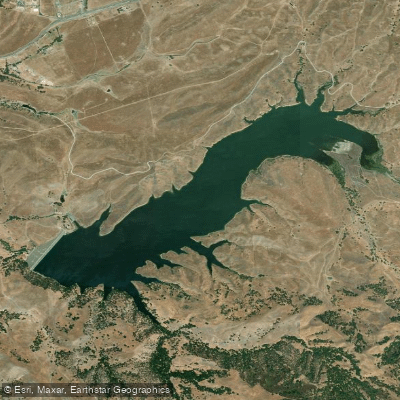
San Antonio Reservoir
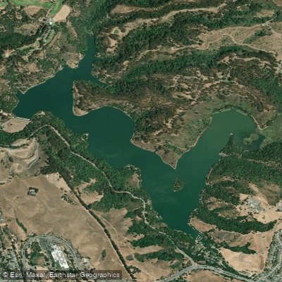
Lake Chabot
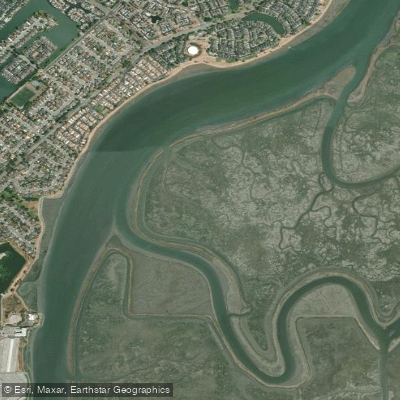
Corkscrew Slough
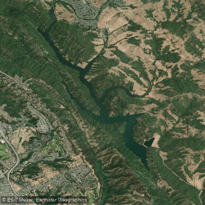
Upper San Leandro Reservoir
Explore California waters
Top paddling waters
Popular Cities
Loading popular cities...
Explore near Mayfield Slough
Access points
Nearby waters
More in California

Smarter Paddling Starts in the App.
Paddleways gives you everything you need to plan smarter, paddle better, and own every trip from first launch to takeout.