Cuyler Harbor
- Saltwater
- Harbor
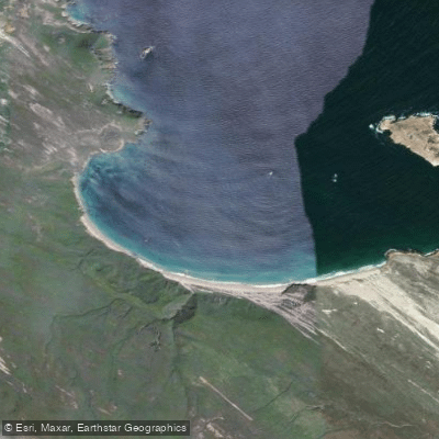
Cuyler Harbor
- Saltwater
- Harbor
- Sq. miles
- 0.7
- Boat Ramps
- 0
- Access Points
- 1
- Campsites
- 1
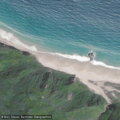
Cuyler Harbor is a coastal harbor on the northeastern shore of San Miguel Island, the westernmost island in California's Channel Islands National Park. It is the only designated landing site for kayakers on the island, requiring a beach landing on its white sand beach. This landing is via skiff or kayak through surf, and paddlers must be prepared to get wet and waterproof their gear. Access to the island itself is tightly controlled; San Miguel Island is owned by the U.S. Navy and is open for landing only when National Park Service personnel are present. All visitors, including private boaters and kayakers, must obtain a permit and sign a liability waiver acknowledging the danger of unexploded ordnance, as the island was a former bombing range. Paddlers are allowed to explore Cuyler Harbor beach but must be accompanied by a ranger to venture beyond the immediate area onto the island's trails.
The harbor is known for its remarkable rock formations, towering cliffs, and the presence of Prince Island at its mouth, which is a significant seabird nesting area. The overall paddling experience is defined by remote beauty and significant exposure. San Miguel Island sits at the western edge of the Santa Barbara Channel, where weather conditions are notoriously severe and can shift quickly, with frequent punishing winds and high seas that often deter visitation. The crossing from the mainland is long, and the surf landing at Cuyler Harbor can be challenging. Consequently, the harbor is often empty or shared with very few other boats, offering solitude. The best paddling conditions require a specific and often narrow weather window with low wind and swell, which are essential for both the open-water crossing and for exploring the coastline from the harbor. Kayakers often use a paddle west to Harris Point from Cuyler Harbor as a reliable way to gauge sea conditions for longer trips. Wildlife is abundant, with the area supporting large populations of seals, sea lions, and seabirds.
Water access, boat ramps & amenities
Learn how to get on Cuyler Harbor. Uncover great paddling access points, boat ramps, and all the facilities you need for an unforgettable day on the water. Some locations shown may border or include private property. Always check property boundaries and applicable regulations before visiting. PaddleWays's Public & Private Land layer can help you plan your access with confidence.
Paddle smarter with real-time insights
Whether you're en route and conditions shift or you're looking for the best spot based on current flows, we enable you to make informed decisions on the fly.








Find Places to Paddle

Over 400,000 Places to Paddle
Every user gets free access to launch points, boat ramps, and public property parcels.


Tides, wind & water conditions (10 day forecast)
On open water, wind and tide matter as much as the weather. See the best times to paddle Cuyler Harbor and check the marine forecast before you launch.
Loading tide predictions…
Paddling near Cuyler Harbor
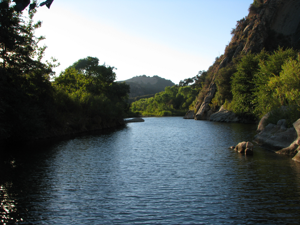
Santa Ynez River
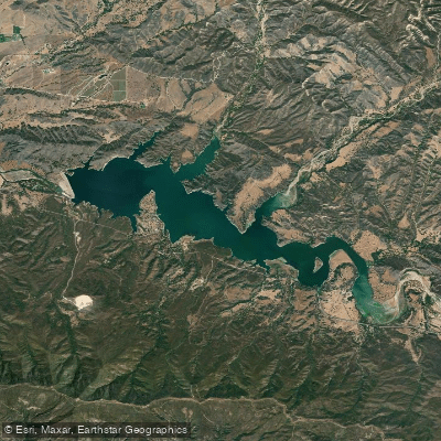
Lake Cachuma
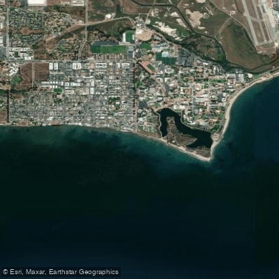
Isla Vista Beach
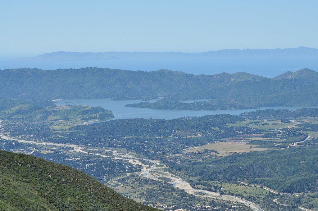
Lake Casitas
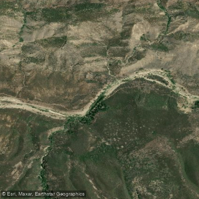
Sespe Creek
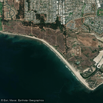
Ellwood Beach

Piru Creek
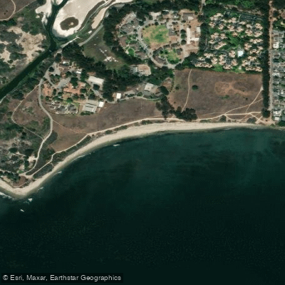
Devereux Beach
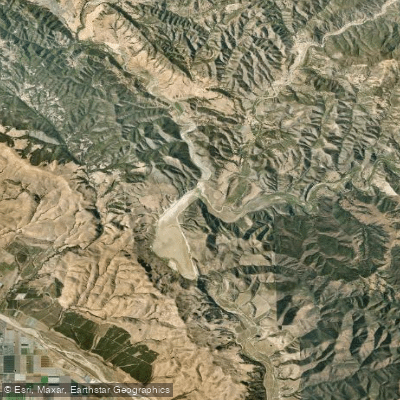
Twitchell Reservoir
Explore California waters
Top paddling waters
Popular Cities
Loading popular cities...
Explore near Cuyler Harbor

Smarter Paddling Starts in the App.
Paddleways gives you everything you need to plan smarter, paddle better, and own every trip from first launch to takeout.