Delta-Mendota Canal
- Saltwater
- Sea area
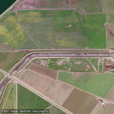
Delta-Mendota Canal
- Saltwater
- Sea area
- Sq. miles
- 0
- Boat Ramps
- 0
- Access Points
- 0
- Campsites
- 0
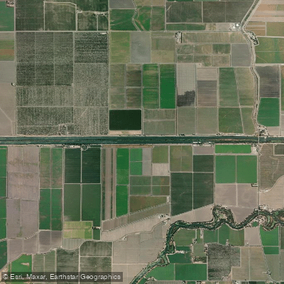
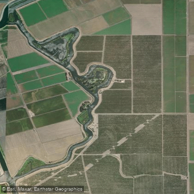
The Delta-Mendota Canal is a major engineered water conveyance channel in California's Central Valley. Paddling access is limited to developed access points, with a launch at the Delta Mendota Canal Bridge on Lateral Six East. The canal's water is sourced from the Sacramento-San Joaquin Delta and is used for agricultural and municipal supply, meaning its flow is managed and not natural. The water can be swift and muddy, particularly in northern sections, which presents a significant challenge for paddlers and influences water clarity. The surrounding landscape is predominantly agricultural, with the canal flowing past farmland. A notable hazard is the confirmed presence of invasive golden mussels, detected at the Bass Avenue Bridge in Mendota, requiring paddlers to follow strict decontamination protocols for their gear to prevent further spread. Fishing occurs from the access points, but the canal's primary character for a paddler is that of a linear, working waterway with controlled flows through a rural setting.
Water access, boat ramps & amenities
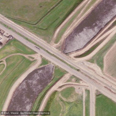
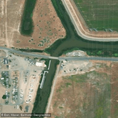
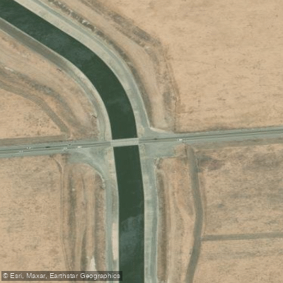
Learn how to get on Delta-Mendota Canal. Uncover great paddling access points, boat ramps, and all the facilities you need for an unforgettable day on the water. Some locations shown may border or include private property. Always check property boundaries and applicable regulations before visiting. PaddleWays's Public & Private Land layer can help you plan your access with confidence.
Paddle smarter with real-time insights
Whether you're en route and conditions shift or you're looking for the best spot based on current flows, we enable you to make informed decisions on the fly.








Find Places to Paddle

Over 400,000 Places to Paddle
Every user gets free access to launch points, boat ramps, and public property parcels.


Tides, wind & water conditions (10 day forecast)
On open water, wind and tide matter as much as the weather. See the best times to paddle Delta-Mendota Canal and check the marine forecast before you launch.
Loading tide predictions…
Paddling near Delta-Mendota Canal
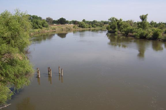
San Joaquin River
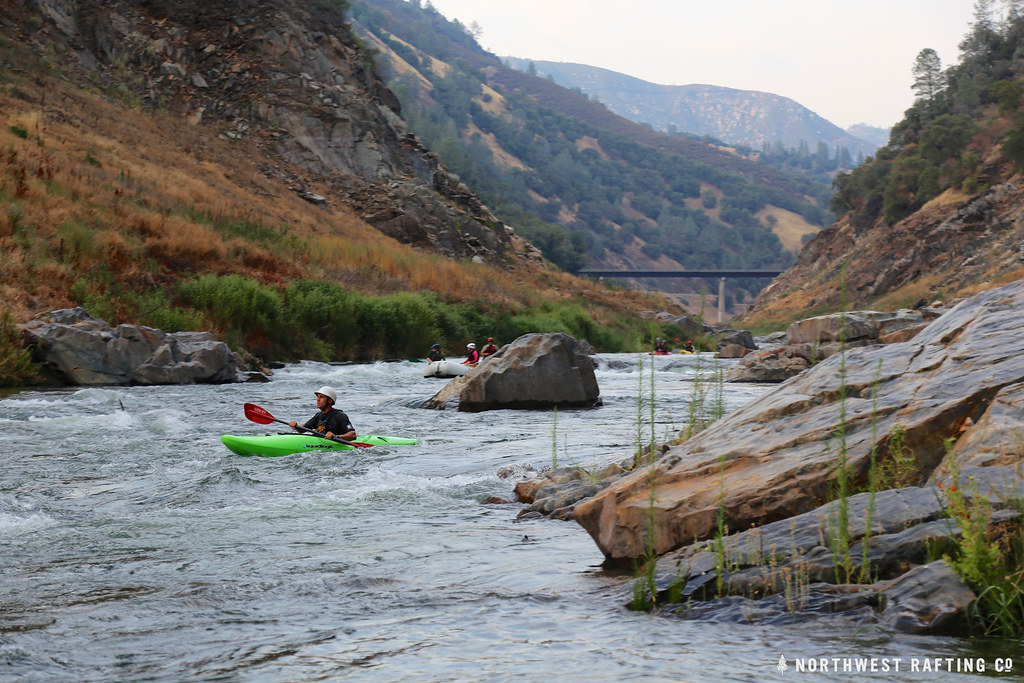
Stanislaus River
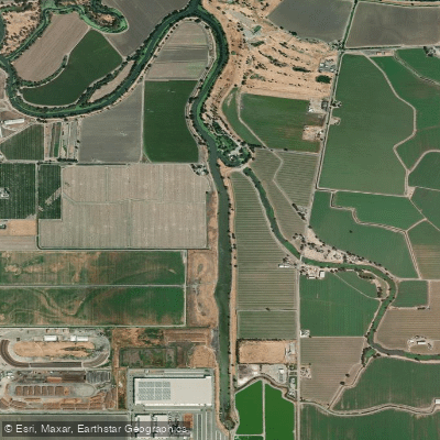
Sugar Cut
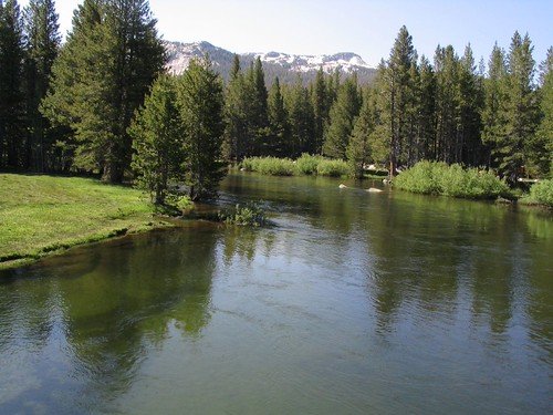
Tuolumne River
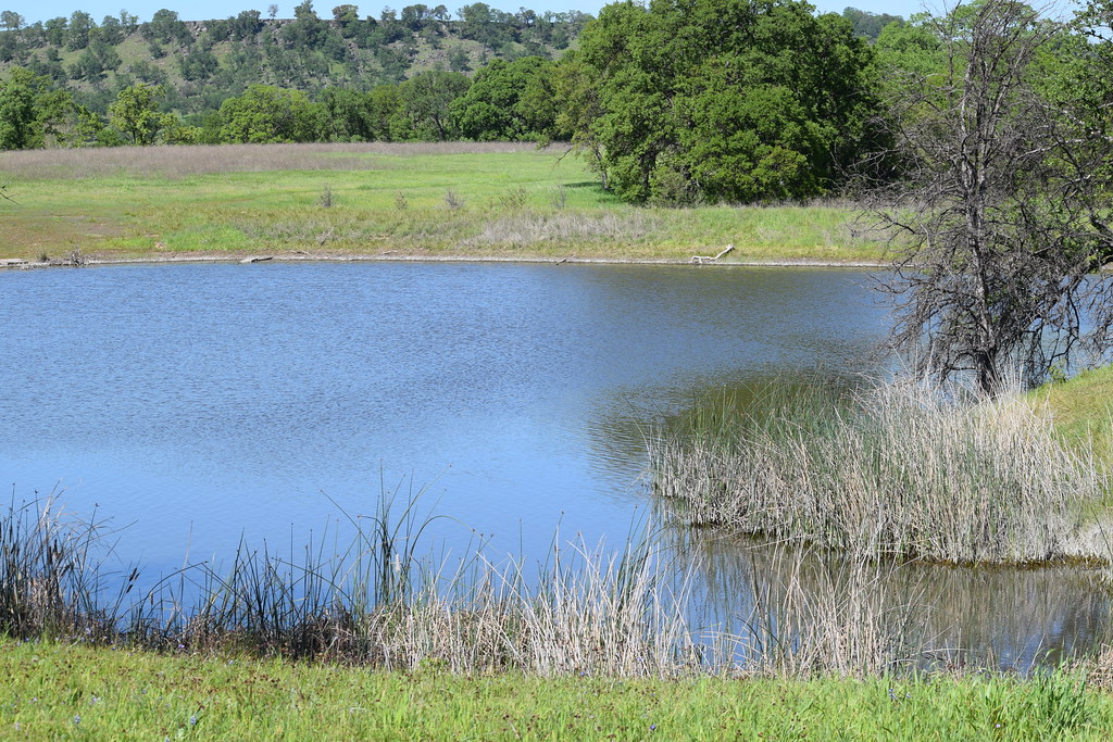
Sacramento River
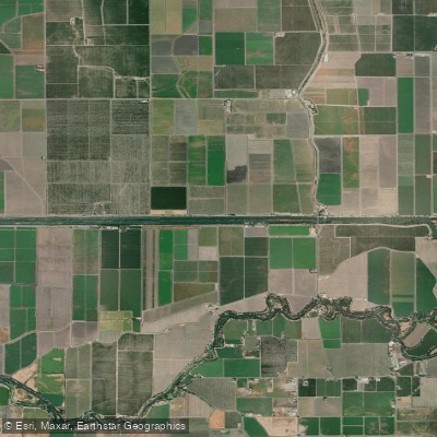
Grant Line Canal
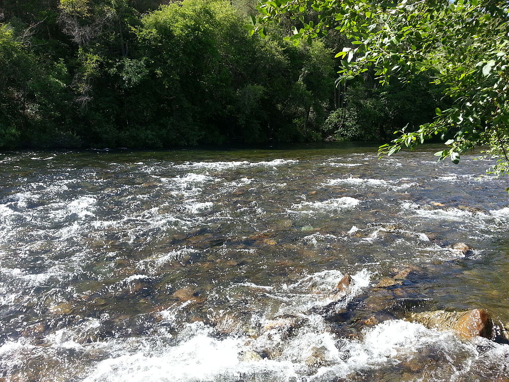
Mokelumne River
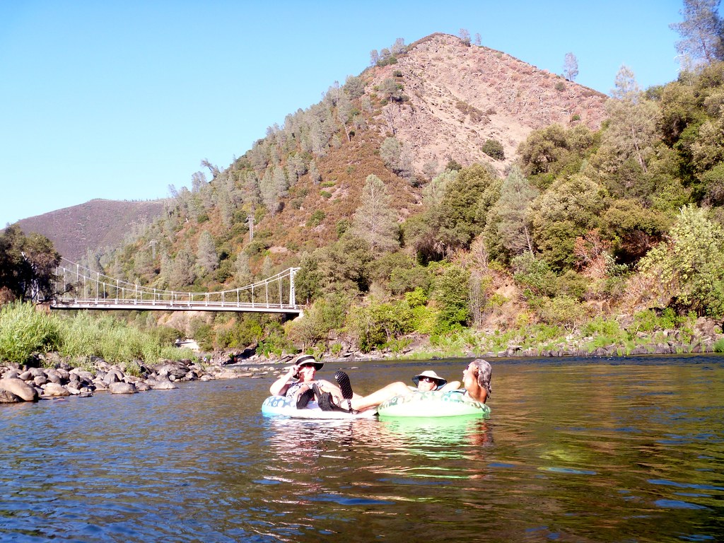
Merced River
Fabian and Bell Canal
Old River
Explore California waters
Top paddling waters
Popular Cities
Loading popular cities...
Explore near Delta-Mendota Canal
Nearby waters
More in California

Smarter Paddling Starts in the App.
Paddleways gives you everything you need to plan smarter, paddle better, and own every trip from first launch to takeout.