Johnsons Lee
- Saltwater
- Bay
Johnsons Lee
- Saltwater
- Bay
- Sq. miles
- 0.6
- Boat Ramps
- 0
- Access Points
- 0
- Campsites
- 1
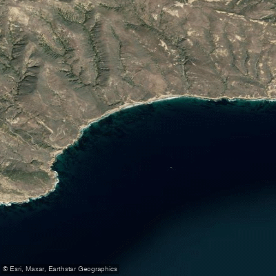
Johnsons Lee is a coastal bay on the remote south shore of Santa Rosa Island within Channel Islands National Park, California. It is the only harbor on the island's south side, though it is a remote backcountry destination with no developed marina facilities. Access is exclusively by private boat or kayak, as there are no roads directly to the shoreline for vehicle-based launches. The primary paddling route to Johnsons Lee begins from the island's main pier, with a kayaking distance of approximately 16 miles via East Point. A shorter 3.5-mile kayak leg exists between Ford Point and Johnsons Lee for those accessing the coast from inland hiking trails. The entire environment is exposed to open ocean conditions. Pounding surf and strong winds constantly reshape the beaches, and dense fog is common, especially in summer, making chart and compass navigation mandatory. Weather and sea conditions are generally most favorable from August through October, with relatively calm winds. Beaches can be washed out at high tides, which is a critical consideration for landing and for backcountry camping. The area is recommended only for experienced, well-conditioned paddlers due to the long distances, potential for rapidly changing conditions, and the absolute remoteness. The coastline features dramatic geography, with vertical cliffs between East and Ford Points that are impassable on foot but accessible by kayak. Historical significance includes a former station with 29 buildings constructed at Johnsons Lee in 1951. Backcountry beach camping is permitted in the area seasonally, but campers must be prepared for a complete lack of reliable water sources and should always have a contingency plan if a chosen beach is occupied or submerged.
Water access, boat ramps & amenities
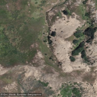
Learn how to get on Johnsons Lee. Uncover great paddling access points, boat ramps, and all the facilities you need for an unforgettable day on the water. Some locations shown may border or include private property. Always check property boundaries and applicable regulations before visiting. PaddleWays's Public & Private Land layer can help you plan your access with confidence.
Paddle smarter with real-time insights
Whether you're en route and conditions shift or you're looking for the best spot based on current flows, we enable you to make informed decisions on the fly.








Find Places to Paddle

Over 400,000 Places to Paddle
Every user gets free access to launch points, boat ramps, and public property parcels.


Tides, wind & water conditions (10 day forecast)
On open water, wind and tide matter as much as the weather. See the best times to paddle Johnsons Lee and check the marine forecast before you launch.
Loading tide predictions…
Paddling near Johnsons Lee
Santa Ynez River
Lake Cachuma
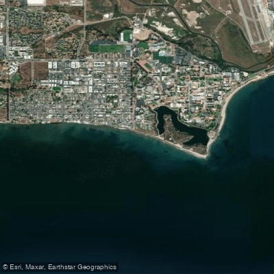
Isla Vista Beach
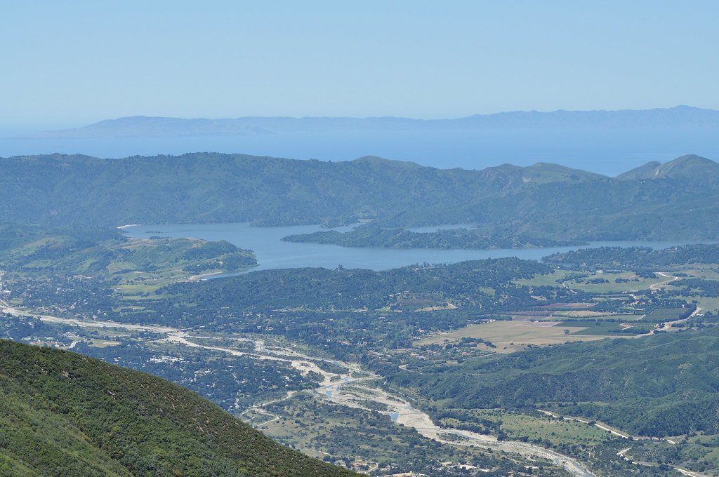
Lake Casitas
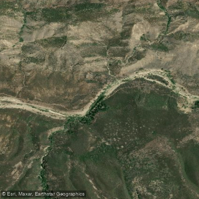
Sespe Creek
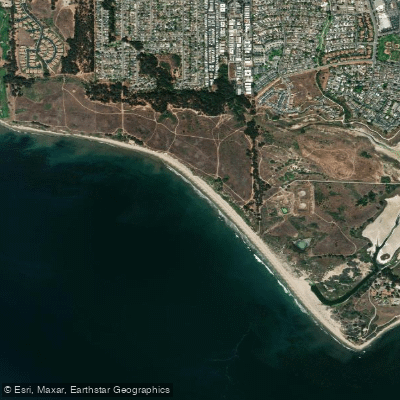
Ellwood Beach

Piru Creek
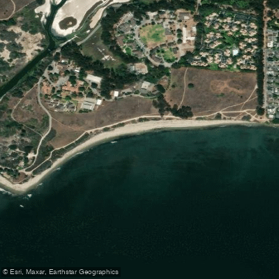
Devereux Beach
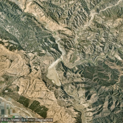
Twitchell Reservoir
Explore California waters
Top paddling waters
Popular Cities
Loading popular cities...
Explore near Johnsons Lee

Smarter Paddling Starts in the App.
Paddleways gives you everything you need to plan smarter, paddle better, and own every trip from first launch to takeout.