Juniper Lake
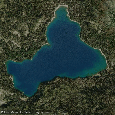
Juniper Lake
- Boat Ramps
- 0
- Access Points
- 0
- Campsites
- 2
Juniper Lake sits at 6,800 feet elevation in the remote southeastern corner of Lassen Volcanic National Park, offering paddlers a pristine wilderness experience on one of the park's most scenic mountain lakes. The lake spans approximately 4.7 miles around its perimeter, nestled in a small valley that provides natural protection from stronger winds, creating generally favorable paddling conditions.
Access is exclusively via a rough 13-mile dirt road from the town of Chester, requiring high-clearance vehicles and typically taking about an hour at slow speeds (5-15 mph). The road is unsuitable for RVs, trailers, or low-clearance vehicles. The lake is generally accessible from July through October, weather permitting.
Hand-launch access is available at the day use area on the north shore, which features an undeveloped gravel/sand beach ideal for kayaks, canoes, and stand-up paddleboards. Some lakefront campsites also offer direct water access.
The crystal-clear water reveals the lake bottom even at considerable depths, transitioning from visibility near shore to brilliant sapphire blue in deeper sections. The lake reflects stunning views of Mount Harkness and its historic fire lookout tower, with Lassen Peak visible from certain shoreline perspectives.
The sheltered setting and absence of motorized boats (engines are prohibited) ensures a peaceful paddling environment perfect for wildlife watching—deer frequently visit the shoreline, particularly at dawn and dusk. Juniper Lake contains no game fish, so anglers should look elsewhere.
The remote location and first-come, first-served primitive camping (18 tent-only sites at $12/night) mean the lake rarely feels crowded despite being fully occupied on peak summer weekends. Paddlers must bring all water and supplies, as no potable water is available.
The exceptional water clarity, protected setting, and dramatic volcanic mountain scenery make this one of Northern California's premier wilderness paddling destinations for those willing to make the challenging drive.
Water access, boat ramps & amenities
Learn how to get on Juniper Lake. Uncover great paddling access points, boat ramps, and all the facilities you need for an unforgettable day on the water. Some locations shown may border or include private property. Always check property boundaries and applicable regulations before visiting. PaddleWays's Public & Private Land layer can help you plan your access with confidence.
Paddle smarter with real-time insights
Whether you're en route and conditions shift or you're looking for the best spot based on current flows, we enable you to make informed decisions on the fly.








Find Places to Paddle

Over 400,000 Places to Paddle
Every user gets free access to launch points, boat ramps, and public property parcels.


Water and weather conditions (10 day forecast)
See the best times to paddle Juniper Lake and check the forecast before you go.
No forecast data available.
Paddling near Juniper Lake
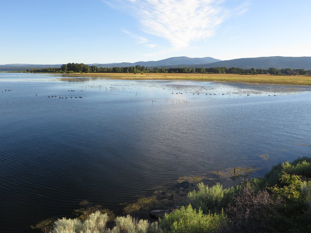
Lake Almanor
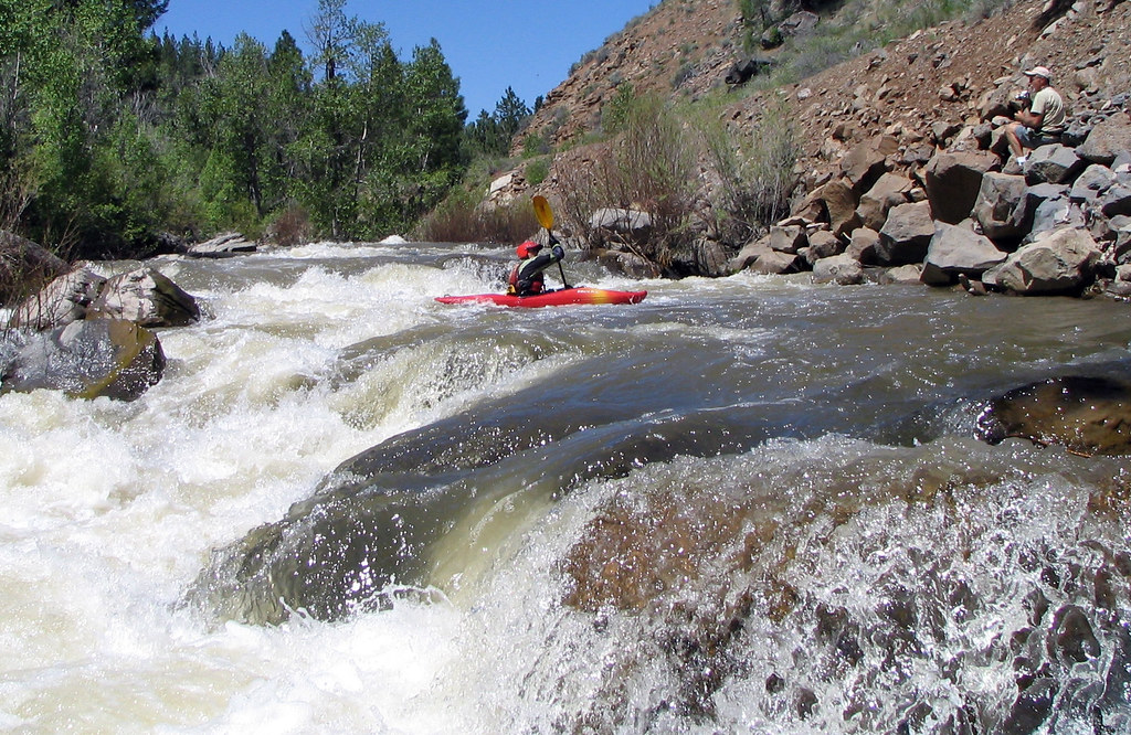
Susan River
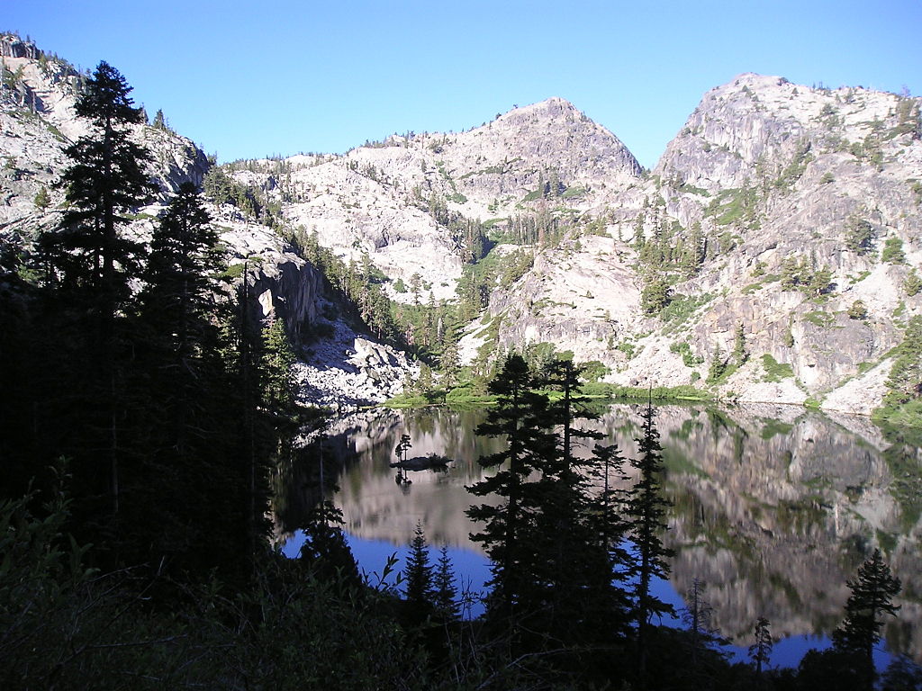
Eagle Lake
Bucks Creek

Sacramento River
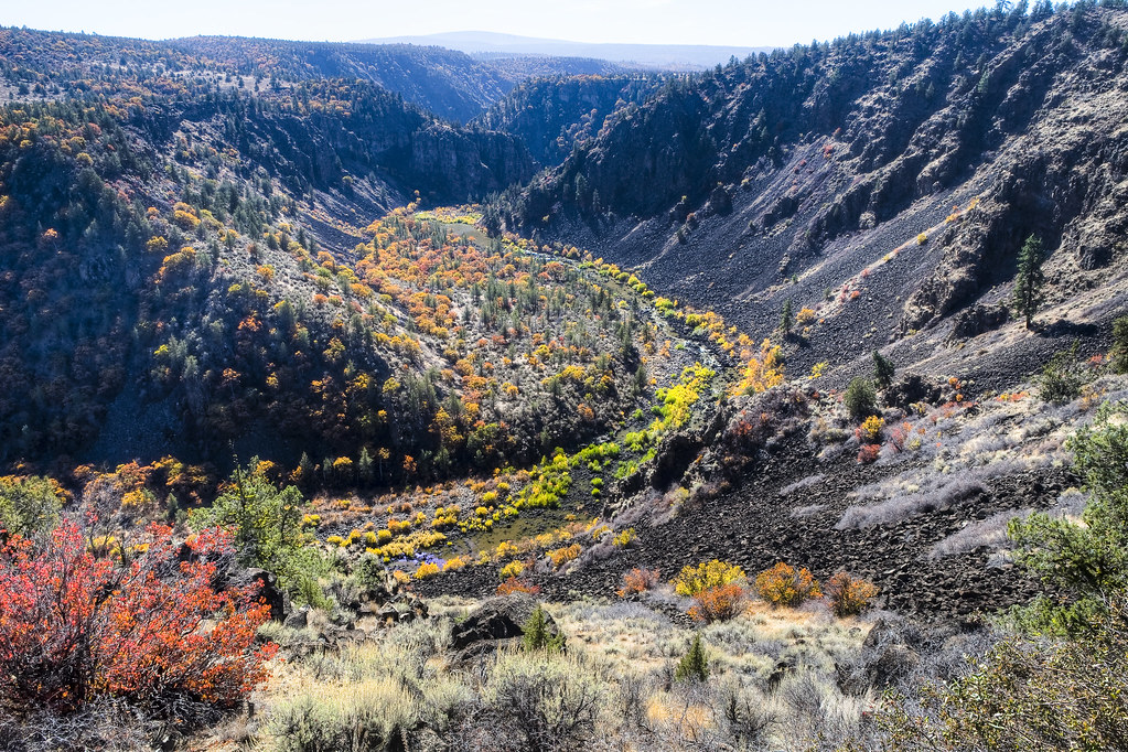
Pit River
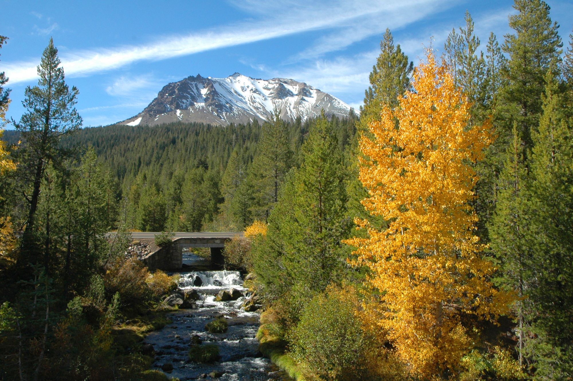
Hat Creek
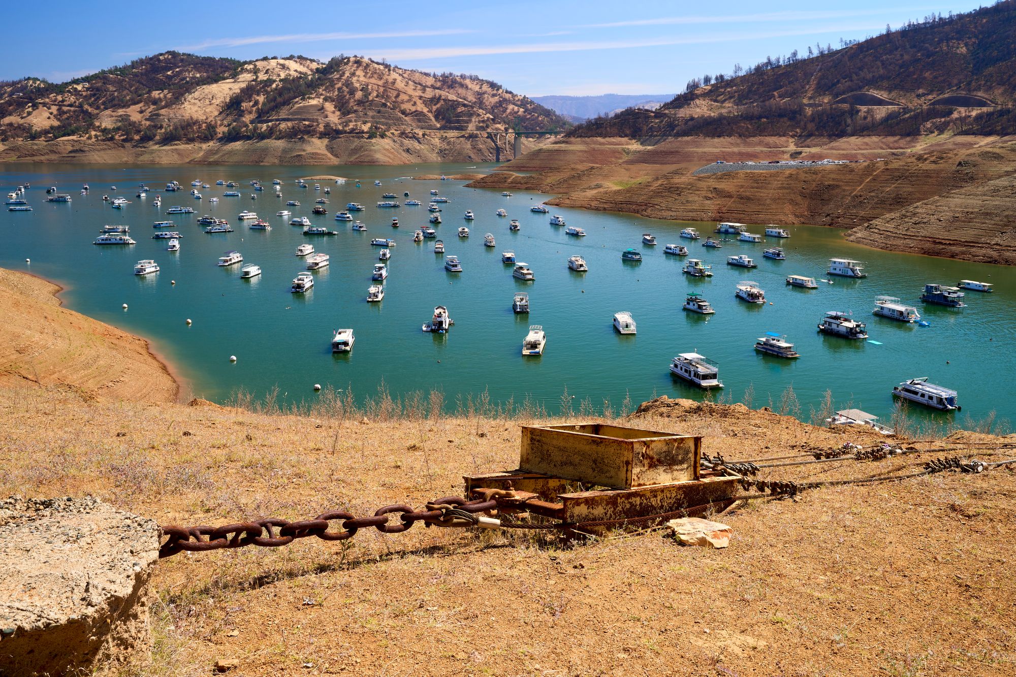
Lake Oroville
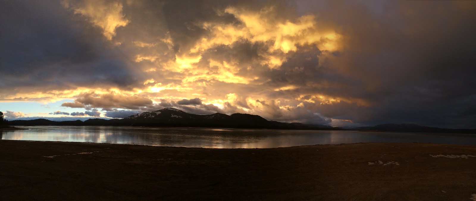
Lake Davis
North Fork Feather River
Explore California waters
Top paddling waters
Popular Cities
Loading popular cities...
Explore near Juniper Lake

Smarter Paddling Starts in the App.
Paddleways gives you everything you need to plan smarter, paddle better, and own every trip from first launch to takeout.