Lake Merced
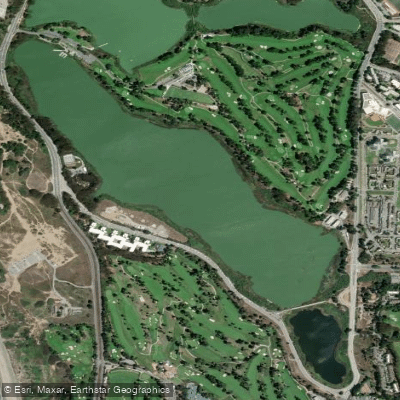
Lake Merced
- Boat Ramps
- 1
- Access Points
- 2
- Campsites
- 0
Lake Merced is a large freshwater lake in San Francisco's southwestern corner near Ocean Beach and Daly City. The 614-acre park includes a 4.5-mile paved trail circling the lake's perimeter. The lake consists of multiple connected sections, including North Lake, South Lake, and East Lake.
Paddling access is available through the Lake Merced Boathouse, which has been recently renovated. The SFSU Campus Recreation program offers themed paddling events and open paddling opportunities each semester. Personal watercraft are permitted, though specific launch locations may be restricted - check with park authorities regarding access to different sections of the lake.
The lake serves as an important stop on the Pacific Flyway, making it an excellent destination for bird watching while paddling. The surrounding area features extensive natural areas managed for wildlife habitat, with more than half the park under the Natural Areas Program's protection.
Water quality monitoring occurs quarterly, with additional monthly monitoring for harmful algal blooms. The lake is classified as a shallow eutrophic lake, rich in minerals and nutrients that can promote algal growth. Visitors should check current water quality advisories before paddling, as the lake sometimes experiences algal blooms that may affect recreational use.
As a terminal lake with no significant water sources besides rainfall, water levels can fluctuate seasonally. The SFPUC actively works to stabilize lake levels for recreational, ecological, and emergency water supply purposes.
Facilities include picnic areas, a fishing pier, and the boathouse. The lake is surrounded by three golf courses, including TPC Harding Park. The location offers an urban paddling experience with surprisingly rich wildlife viewing opportunities, though paddlers should be prepared to share the water with other recreational users.
For paddling inquiries and current conditions, contact the Campus Recreation program through gatoroutdoors@sfsu.edu.
Water access, boat ramps & amenities
Learn how to get on Lake Merced. Uncover great paddling access points, boat ramps, and all the facilities you need for an unforgettable day on the water. Some locations shown may border or include private property. Always check property boundaries and applicable regulations before visiting. PaddleWays's Public & Private Land layer can help you plan your access with confidence.
Paddle smarter with real-time insights
Whether you're en route and conditions shift or you're looking for the best spot based on current flows, we enable you to make informed decisions on the fly.








Find Places to Paddle

Over 400,000 Places to Paddle
Every user gets free access to launch points, boat ramps, and public property parcels.


Water and weather conditions (10 day forecast)
See the best times to paddle Lake Merced and check the forecast before you go.
No forecast data available.
Paddling near Lake Merced

San Joaquin River

Sacramento River

San Francisco Bay
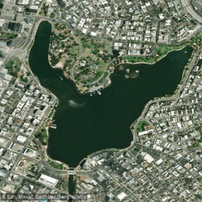
Lake Merritt

San Pablo Bay
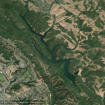
Upper San Leandro Reservoir
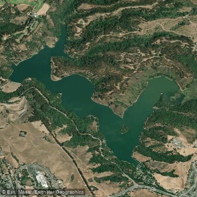
Lake Chabot

Richardson Bay
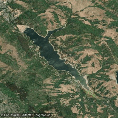
San Pablo Reservoir
Explore California waters
Top paddling waters
Popular Cities
Loading popular cities...
Explore near Lake Merced

Smarter Paddling Starts in the App.
Paddleways gives you everything you need to plan smarter, paddle better, and own every trip from first launch to takeout.