Richardson Bay
- Saltwater
- Bay

Richardson Bay
- Saltwater
- Bay
- Sq. miles
- 4.5
- Boat Ramps
- 2
- Access Points
- 2
- Campsites
- 15
Richardson Bay is a shallow, protected saltwater bay located in Marin County, California, offering a calm paddling environment with views of Sausalito, Tiburon, and Angel Island. The bay is characterized by extensive mudflats that are exposed at low tide, which is a primary consideration for trip planning. Several public launch points provide access. The Sea Trek Kayak and Stand Up Paddling Center operates from the Bay Model parking lot at 2100 Bridgeway in Sausalito, offering rentals and guided tours; paddlers launch directly from a dock here. Dunphy Park in Sausalito features a small, rocky beach launch with free parking and restrooms. Bayfront Park in Mill Valley provides a high-quality facility with an ADA-accessible gangway and dock featuring a kayak cut-out, but this launch is explicitly not usable at most low tides due to the mudflats. Paddlers must carefully consult tide tables for both launch and landing to avoid getting stuck. The area is popular for wildlife viewing, including harbor seals, sea lions, pelicans, cormorants, and active heron rookeries near Pickleweed Inlet. The eclectic Sausalito houseboat community lines parts of the shoreline. Wind is a significant factor, as strong gusts can create challenging conditions, and a return paddle against the wind is a noted risk. Early mornings are often ideal, with flat water and minimal boat traffic. The bay is suitable for novice paddlers, especially on guided tours that stick to the protected waterfront. A common route involves paddling north from Sausalito, passing under the Highway 101 bridge, though the shallow nature of the upper bay requires turning back before the tide ebbs too far. Facilities like restrooms are available at the Bay Model, Dunphy Park, and the Mill Valley Sewage Treatment Plant near Bayfront Park.
Water access, boat ramps & amenities
Learn how to get on Richardson Bay. Uncover great paddling access points, boat ramps, and all the facilities you need for an unforgettable day on the water. Some locations shown may border or include private property. Always check property boundaries and applicable regulations before visiting. PaddleWays's Public & Private Land layer can help you plan your access with confidence.
Paddle smarter with real-time insights
Whether you're en route and conditions shift or you're looking for the best spot based on current flows, we enable you to make informed decisions on the fly.








Find Places to Paddle

Over 400,000 Places to Paddle
Every user gets free access to launch points, boat ramps, and public property parcels.


Tides, wind & water conditions (10 day forecast)
On open water, wind and tide matter as much as the weather. See the best times to paddle Richardson Bay and check the marine forecast before you launch.
Loading tide predictions…
Paddling near Richardson Bay

San Joaquin River

Sacramento River

San Francisco Bay
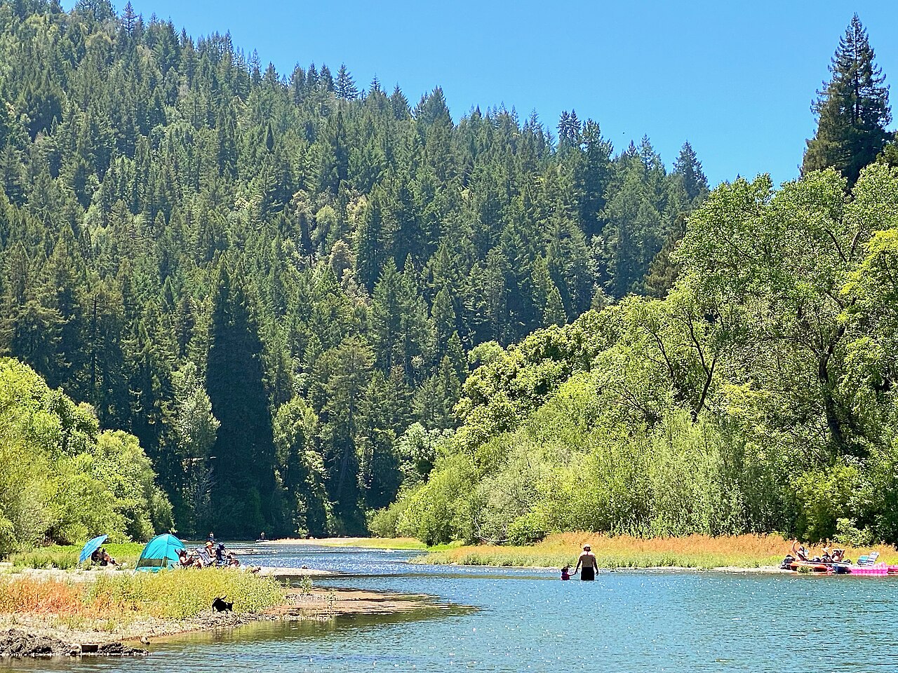
Russian River
Lagunitas Creek

San Pablo Bay
Napa River
Coyote Creek
San Pablo Reservoir
Explore California waters
Top paddling waters
Popular Cities
Loading popular cities...
Explore near Richardson Bay
Access points
- Mill Valley Bay Front Park Boat Ramp
- Clipper Yacht Harbor Boat Ramp
- Ayo Corte Madera Del Pre Bridge
- Coyote Creek Bridge
- Coyote Creek Bridge
- Ayo Corte Madera Del Pre Bridge
- Ayo Corte Madera Del Pre Bridge
- Branch Corte Madera Creek Bridge
- Arroyo Holon Bridge
- Redwood Creek Bridge
- Redwood Creek Bridge
- Redwood Creek Bridge
- All 28 spots
Nearby waters
More in California

Smarter Paddling Starts in the App.
Paddleways gives you everything you need to plan smarter, paddle better, and own every trip from first launch to takeout.