Curated by PaddleWays
RouteClass III–IV
- Distance
- 10.4 mi
- Paddle time
- ~2.5 hrs
- Best for
- Kayak
- Put-in → take-out
- Bridge near Thorn Junction on Shelter Cove Road → Bridge below Ettersburg
Class IV drops; some require portaging
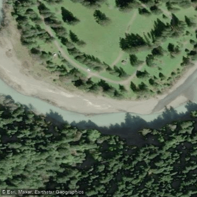
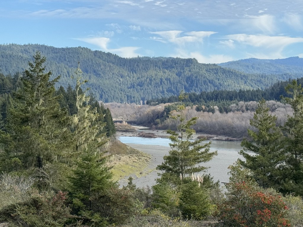
The Mattole River flows for 62 miles through the remote wilderness of southern Humboldt County and northern Mendocino County in California's North Coast region. Originating in the King Range approximately 11 miles southwest of Redway, the river initially flows northward through steep, forested terrain before turning westward near Petrolia to empty into the Pacific Ocean. This free-flowing river drains a 304-square-mile watershed that ranges from sea level to 4,000 feet in elevation, passing through some of California's most isolated and rugged coastal landscape.
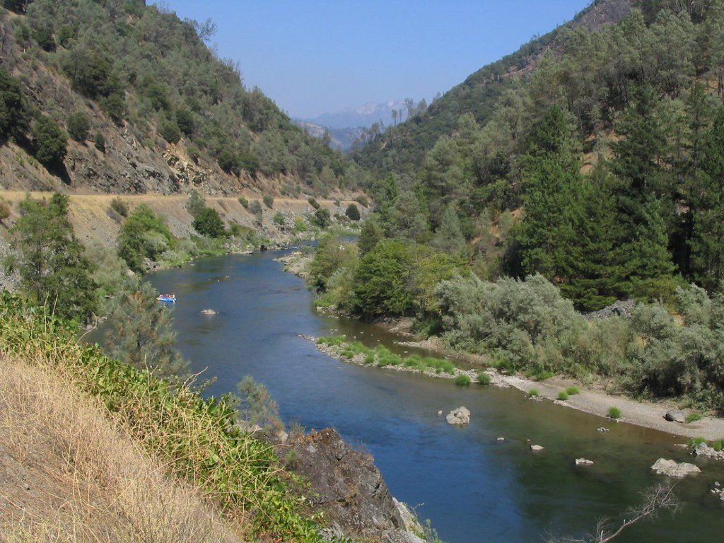
The Mattole offers paddlers a progression of whitewater experiences across three distinct sections. The upper run from Thorn Junction to Ettersburg delivers the most technical challenge with Class III-IV rapids including notable drops like The Slot and The Squeeze over 8-11 miles, dropping at a steep gradient of 31 feet per mile. This section demands advanced skills and runs through semi-wilderness with occasional ranches. The middle section from Ettersburg to Honeydew mellows considerably, providing 17-18 miles of predominantly Class I-II water with one Class III rapid, making it suitable for intermediate paddlers seeking a scenic touring experience. The lower stretch from Honeydew to Petrolia continues for 22 miles at a gentler gradient of approximately 15 feet per mile with mostly Class I-II water.
Winter and early spring following substantial rainfall provide the optimal paddling window, with ideal flows ranging from 300-1800 cfs depending on section and craft type. The USGS gauge at Ettersburg, located at the Wilder Ridge Road bridge, serves as the primary flow reference. During peak season, the river maintains relatively clear water in the upper sections, though it collects sediment as it moves downstream toward the coast.
The Mattole valley supports recovering populations of chinook salmon, coho salmon, and steelhead trout, with strict fishing regulations protecting these dwindling runs. The watershed includes portions of the King Range National Conservation Area and lies adjacent to Humboldt Redwoods State Park near Honeydew. Major tributaries include Bear Creek, Honeydew Creek, Upper North Fork, Rattlesnake Creek, and Oil Creek.
Access points center around the small communities of Thorn Junction, Ettersburg, Honeydew, and Petrolia, all connected by narrow, winding roads that require significant shuttle time—up to an hour between put-ins and take-outs. The combined upper and middle sections create an excellent 24-29 mile wilderness adventure suitable for multi-day camping trips. Paddlers should prepare for remote conditions with limited services and be aware of poison oak along riverbanks. The area receives intense rainfall ranging from 50 inches annually near the coast to 115 inches in the upper watershed.
Curated routes
Hand-picked by the PaddleWays team, with put-ins, take-outs, paddle times and the hazards along the way.
RouteClass III–IV
RouteClass I–II
RouteClass I–IV
Hazards
No hazards are marked on Mattole River yet. That is not the same as none being there: if you find one, report it for the next paddler.
From the community
Nobody has shared a trip on Mattole River yet. Paddle it, then tell the next paddler how it went.
See exactly where the public can get on and off the river. Launch points and boat ramps are paired with PaddleWays' public land data so you know where you can legally land.
Public shoreline
14%of the river's shoreline is public
Most of the riverbank is private. Launch, land and camp only at public access points.
Flows, weather and a route-by-route verdict, so you know which stretch of the Mattole River is worth paddling today.
All Flow Stations
Live flows, marked hazards and fresh trip reports from paddlers who were just on the water, all in one place.





Every user gets free access to launch points, boat ramps, and public property parcels.
Loading popular cities...
PaddleWays gives you everything you need to plan smarter, paddle better, and own every trip from first launch to takeout.