Curated by PaddleWays
RouteClass I–II
- Distance
- 9.2 mi
- Paddle time
- ~3 hrs
- Put-in → take-out
- Paul Dimmick Campground Access → Navarro Beach Access
Downed trees to navigate around
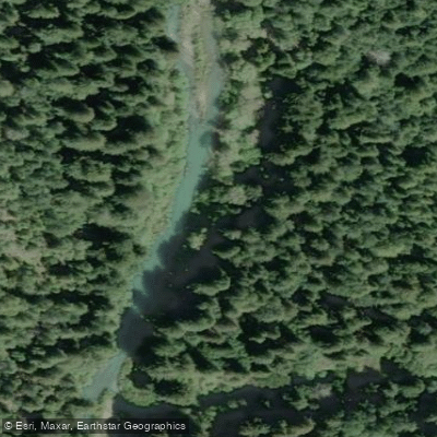
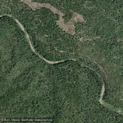
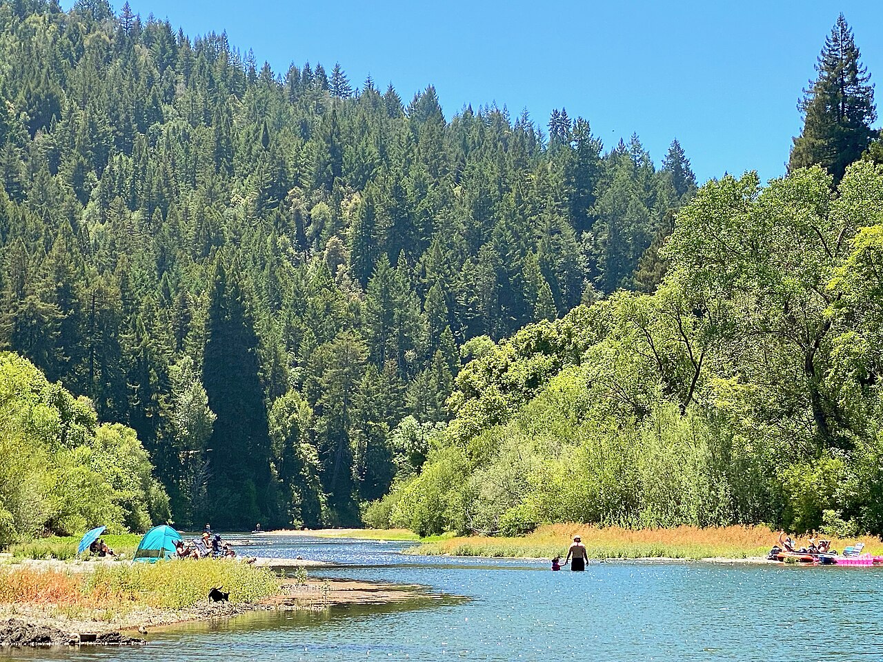
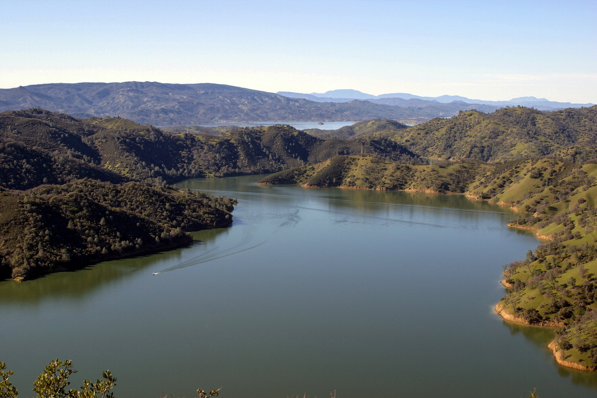
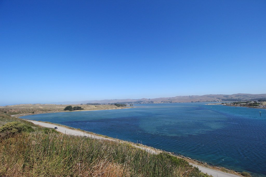
The Navarro River, a coastal waterway in Mendocino County, California, originates in the Coastal Range mountains and flows westward for approximately 30 miles before emptying into the Pacific Ocean. This river system drains a watershed of dense redwood forests and rolling hills, creating a unique ecosystem that transitions from inland valleys to coastal estuary.
Paddling opportunities on the Navarro River range from challenging whitewater in the upper reaches to serene flatwater near the coast. The river can be divided into three main sections: the Upper Navarro, featuring Class II-V rapids; the middle section from Hendy Woods State Park to Paul Dimmick State Park, offering a mix of Class II-III rapids; and the lower Ocean Run, a tidal stretch with gentle Class I-II waters.
Skill requirements vary significantly along the river's course. Advanced whitewater skills are necessary for the Upper Navarro, while the lower sections are suitable for intermediate to beginner paddlers. The river is best paddled in late winter through spring when water levels are optimal, typically from February to May.
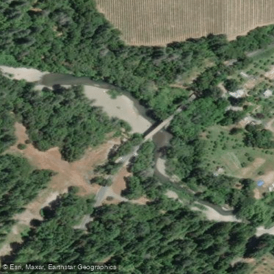
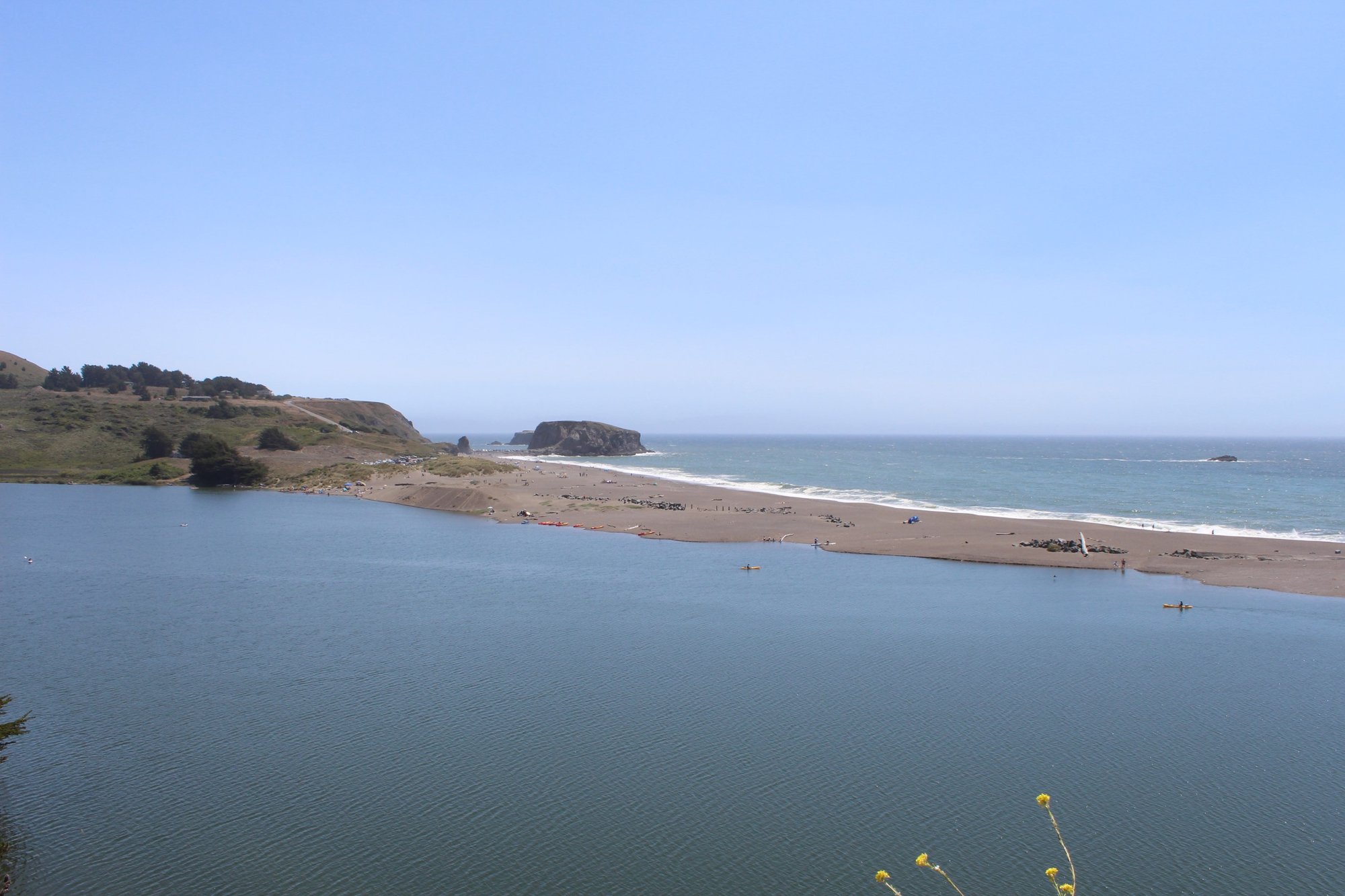
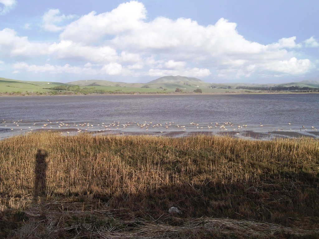
The Navarro River is renowned for its towering redwood groves, particularly in Hendy Woods State Park and Navarro River Redwoods State Park. Wildlife enthusiasts may spot river otters, harbor seals, and various bird species, especially in the estuarine areas near the ocean. Key landmarks include the historic Navarro Bridge, the charming town of Philo, and the expansive Navarro Beach at the river's mouth.
Primary access points are located at Hendy Woods State Park, Paul Dimmick State Park, and Navarro Beach, with the towns of Boonville and Elk serving as the nearest population centers.
Historically, the Navarro River played a crucial role in the logging industry, with its waters used to transport redwood logs to coastal mills. Today, it serves as an important habitat for endangered coho salmon and steelhead trout, making conservation efforts a priority.
Safety considerations include being aware of rapidly changing tides in the lower section and potential strainers (downed trees) throughout the river. Paddlers should check current flow rates and weather conditions before embarking on any trip.
For those seeking a multi-day adventure, the full 30-mile journey from Hendy Woods to the Pacific offers a comprehensive Navarro River experience. Campsites at state parks along the way provide convenient overnight options, allowing paddlers to immerse themselves in the diverse landscapes and rich ecology of this quintessential Northern California river.
Curated routes
Hand-picked by the PaddleWays team, with put-ins, take-outs, paddle times and the hazards along the way.
RouteClass I–II
RouteClass I
Hazards
No hazards are marked on Navarro River yet. That is not the same as none being there: if you find one, report it for the next paddler.
From the community
Nobody has shared a trip on Navarro River yet. Paddle it, then tell the next paddler how it went.
See exactly where the public can get on and off the river. Launch points and boat ramps are paired with PaddleWays' public land data so you know where you can legally land.
Public shoreline
21%of the river's shoreline is public
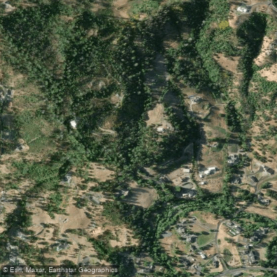
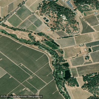
Most of the riverbank is private. Launch, land and camp only at public access points.
Flows, weather and a route-by-route verdict, so you know which stretch of the Navarro River is worth paddling today.
Live flows, marked hazards and fresh trip reports from paddlers who were just on the water, all in one place.





Every user gets free access to launch points, boat ramps, and public property parcels.
Loading popular cities...
PaddleWays gives you everything you need to plan smarter, paddle better, and own every trip from first launch to takeout.