Curated by PaddleWays
RouteClass II
- Distance
- 14.3 mi
- Paddle time
- ~3.5 hrs
- Best for
- Kayak
- Put-in → take-out
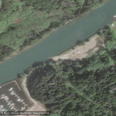
- Northspur Access → Company Ranch Access
Log portages on fairly continuous rapids
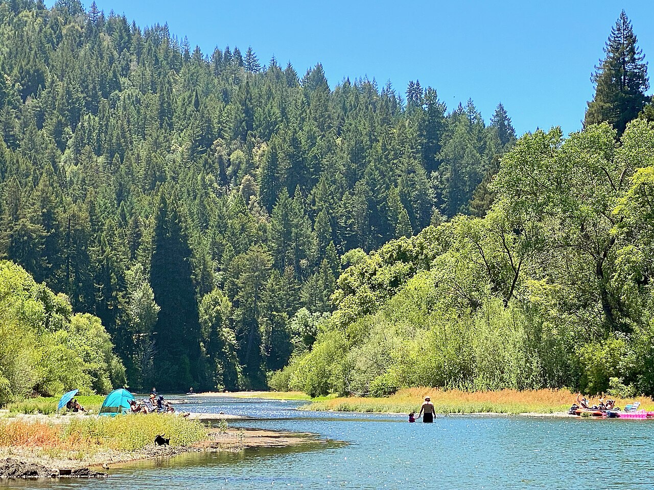
The Noyo River flows through the coastal mountains of Mendocino County in northern California. Originating in the rugged terrain west of Willits, the river runs generally westward for about 30 miles before emptying into the Pacific Ocean at Noyo Harbor in Fort Bragg. The Noyo's watershed encompasses approximately 113 square miles of mixed conifer forest.
Paddling opportunities on the Noyo range from whitewater runs in the upper reaches to gentle flatwater paddling near the coast. The most popular whitewater section is the 12-mile stretch from Northspur to Company Ranch near Fort Bragg, featuring Class II+ rapids with some log portages. This run has an average gradient of 22 feet per mile and is best attempted by intermediate paddlers with whitewater experience.
For beginners and families, the lower Noyo offers serene flatwater paddling in the estuary and harbor areas near Fort Bragg. Popular routes include the 2.9-mile Noyo Harbor Tour and the 1.5-hour Noyo River Nature Tour, both providing opportunities to observe local wildlife like seals, sea lions, and shorebirds.
The Noyo is a rain-fed river, with optimal paddling conditions typically occurring in winter and spring after recent rainfall. For the upper whitewater section, recommended flows range from 300-900 cfs for kayaks and a minimum of 200 cfs for inflatable kayaks. The lower flatwater sections can be paddled year-round, weather permitting.
The river corridor supports diverse flora and fauna, including redwood and Douglas fir forests, salmon and steelhead runs, river otters, and numerous bird species. Paddlers may spot osprey, great blue herons, and even the occasional bald eagle.
Key access points include Northspur Train Station for the upper run and Noyo Harbor in Fort Bragg for flatwater paddling. Fort Bragg serves as the primary gateway town, offering amenities and several kayak outfitters.
Historically, the Noyo River played a crucial role in the region's logging industry, with its estuary serving as a port for timber shipments. Today, the river continues to support commercial and recreational fishing while also providing vital habitat for anadromous fish.
Paddlers should be aware of potential log hazards, especially in the upper reaches, and changing tidal conditions near the mouth. Local outfitters offer guided tours and rentals, making the Noyo accessible to paddlers of all skill levels seeking to explore this scenic coastal waterway.
Curated routes
Hand-picked by the PaddleWays team, with put-ins, take-outs, paddle times and the hazards along the way.
RouteClass II
Hazards
No hazards are marked on Noyo River yet. That is not the same as none being there: if you find one, report it for the next paddler.
From the community
Nobody has shared a trip on Noyo River yet. Paddle it, then tell the next paddler how it went.
See exactly where the public can get on and off the river. Launch points and boat ramps are paired with PaddleWays' public land data so you know where you can legally land.
Public shoreline
0%of the river's shoreline is public
Most of the riverbank is private. Launch, land and camp only at public access points.
Flows, weather and a route-by-route verdict, so you know which stretch of the Noyo River is worth paddling today.
Live flows, marked hazards and fresh trip reports from paddlers who were just on the water, all in one place.





Every user gets free access to launch points, boat ramps, and public property parcels.
Loading popular cities...
PaddleWays gives you everything you need to plan smarter, paddle better, and own every trip from first launch to takeout.