San Miguel Passage
- Saltwater
- Pass
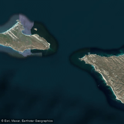
San Miguel Passage
- Saltwater
- Pass
- Sq. miles
- 51
- Boat Ramps
- 0
- Access Points
- 0
- Campsites
- 1
San Miguel Passage is a significant open-water channel approximately two to three miles wide, separating San Miguel Island and Santa Rosa Island within California's Channel Islands National Park. This is a coastal saltwater passage fully exposed to Pacific Ocean conditions. The primary paddling route involves crossing this passage, typically between launch points like Sandy Point on Santa Rosa Island and destinations such as Cuyler Harbor on San Miguel Island. This crossing is a serious undertaking, as the passage is wholly exposed to northwest winds and Pacific swell. Winds frequently build during the day, creating challenging conditions, and a crossing that begins calmly can become an arduous struggle against wind and waves by the time you approach land. Paddlers report utilizing tailwinds and currents when traveling southeast from San Miguel back toward Santa Rosa, describing it as "paddling downhill." The western end of San Miguel Island, near Point Bennett, is noted for unpredictable waves and a spinning shore pound, indicating complex surf and rebound conditions. The passage is a major wildlife corridor. Paddlers may encounter northern fur seal pups bodysurfing near shorelines and will see massive colonies of elephant seals and sea lions on the beaches, particularly near Cardwell Point. The aesthetic is one of remote, rugged island landscapes with dramatic sand dunes, ghostly caliche forests, and vast kelp beds. There are no facilities directly on the water; trips are expedition-style, requiring self-sufficiency and camping at primitive island campgrounds accessible only by boat. Paddling here demands advanced open-ocean skills, careful tide and wind planning, and thorough preparation for self-rescue in cold water with significant fetch.
Water access, boat ramps & amenities
Learn how to get on San Miguel Passage. Uncover great paddling access points, boat ramps, and all the facilities you need for an unforgettable day on the water. Some locations shown may border or include private property. Always check property boundaries and applicable regulations before visiting. PaddleWays's Public & Private Land layer can help you plan your access with confidence.
Paddle smarter with real-time insights
Whether you're en route and conditions shift or you're looking for the best spot based on current flows, we enable you to make informed decisions on the fly.








Find Places to Paddle

Over 400,000 Places to Paddle
Every user gets free access to launch points, boat ramps, and public property parcels.


Tides, wind & water conditions (10 day forecast)
On open water, wind and tide matter as much as the weather. See the best times to paddle San Miguel Passage and check the marine forecast before you launch.
Loading tide predictions…
Paddling near San Miguel Passage
Santa Ynez River
Lake Cachuma
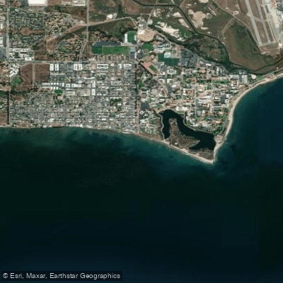
Isla Vista Beach
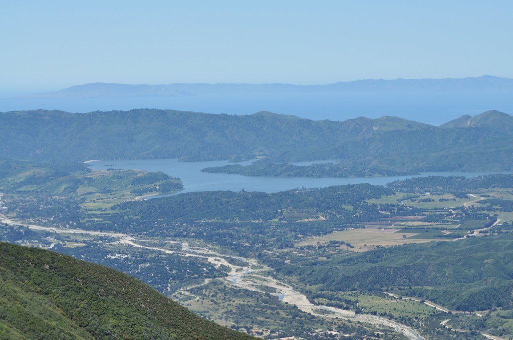
Lake Casitas
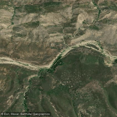
Sespe Creek
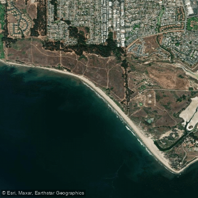
Ellwood Beach

Piru Creek
Devereux Beach
Twitchell Reservoir
Explore California waters
Top paddling waters
Popular Cities
Loading popular cities...
Explore near San Miguel Passage

Smarter Paddling Starts in the App.
Paddleways gives you everything you need to plan smarter, paddle better, and own every trip from first launch to takeout.