San Rafael Bay
- Saltwater
- Bay
San Rafael Bay
- Saltwater
- Bay
- Sq. miles
- 2.6
- Boat Ramps
- 1
- Access Points
- 0
- Campsites
- 1
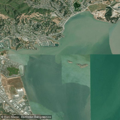
San Rafael Bay is a broad, open section of the San Francisco Bay system, offering paddlers a mix of sheltered canals and exposed open water. The bay provides scenic views of the San Rafael city skyline, nearby hills, Mount Tamalpais, and the distant San Francisco Bay. The Marin Islands, located within the bay, form a 340-acre national wildlife refuge and support the largest heron and egret rookery in the San Francisco Bay area, making birdwatching a significant attraction. Paddlers will also pass houseboats, docks, and working barges.
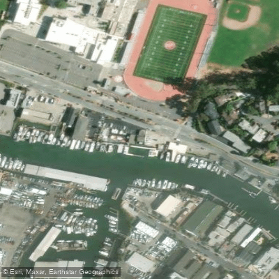
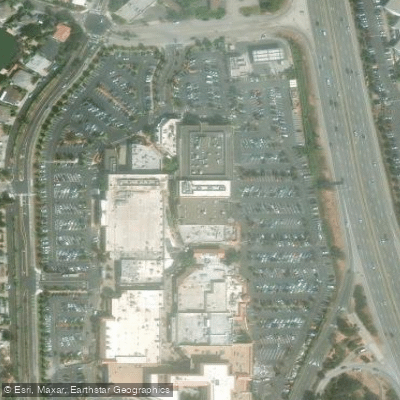
Several key public access points serve paddlers. A primary launch is from the San Rafael Canal, where the rental outfitter 101 Surf Sports operates, offering sit-on-top kayaks and stand-up paddleboards. For those with their own craft, Jean & John Starkweather Shoreline Park near the west end of the Richmond-San Rafael Bridge provides a launch with calm water. Loch Lomond Marina features a free carry-in launch area, and McNears Beach Park in a sheltered cove along San Pablo Bay is designated as a San Francisco Bay Area Water Trail trailhead with easy carry-in access. China Camp State Park also offers launch facilities along the shoreline.
The paddling character varies dramatically by location. The San Rafael Canal and other shoreline areas are having calm waters, ideal for beginners. Venturing into the open bay, however, is recommended only for experienced paddlers due to exposure to wind, tides, and boat traffic. Tidal currents are a critical factor, especially around features like The Sisters and Grendel's Needle near Point San Pedro, where water can be dynamic. Paddlers are strongly advised to consult local experts regarding tide and wind conditions before attempting open-water crossings, such as the six-mile round trip to the Marin Islands. North/Northeast winds can create chop and, on some days, provide downwind bumps. The bay experiences a significant tidal range, and paddling during a high slack tide can result in very little current. Major hazards include exposure to direct sun with limited shade, potential sewage spills into the San Rafael Canal as indicated by public warning signs, and sharing waterways with sailboats, superyachts, and dredging equipment. Facilities vary by launch site but can include restrooms, picnic tables, free parking, and nearby markets or restaurants like those at Loch Lomond Marina.
Water access, boat ramps & amenities
Learn how to get on San Rafael Bay. Uncover great paddling access points, boat ramps, and all the facilities you need for an unforgettable day on the water. Some locations shown may border or include private property. Always check property boundaries and applicable regulations before visiting. PaddleWays's Public & Private Land layer can help you plan your access with confidence.
Paddle smarter with real-time insights
Whether you're en route and conditions shift or you're looking for the best spot based on current flows, we enable you to make informed decisions on the fly.








Find Places to Paddle

Over 400,000 Places to Paddle
Every user gets free access to launch points, boat ramps, and public property parcels.


Tides, wind & water conditions (10 day forecast)
On open water, wind and tide matter as much as the weather. See the best times to paddle San Rafael Bay and check the marine forecast before you launch.
Loading tide predictions…
Paddling near San Rafael Bay

San Joaquin River

Sacramento River

San Francisco Bay
Russian River
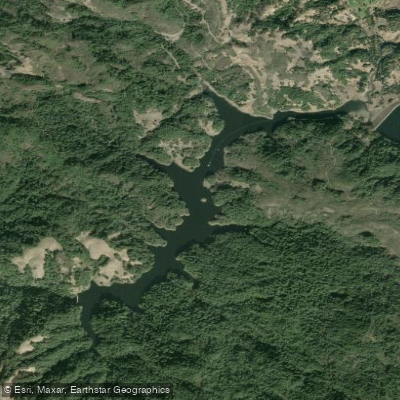
Alpine Lake

San Pablo Bay
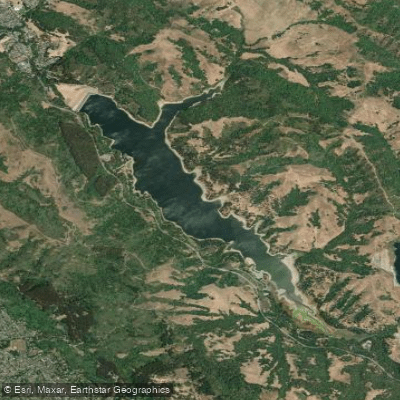
San Pablo Reservoir
Lagunitas Creek
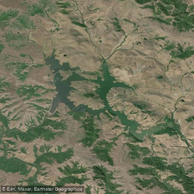
Nicasio Reservoir
Explore California waters
Top paddling waters
Popular Cities
Loading popular cities...
Explore near San Rafael Bay
Access points
Nearby waters
More in California

Smarter Paddling Starts in the App.
Paddleways gives you everything you need to plan smarter, paddle better, and own every trip from first launch to takeout.