Alpine Lake
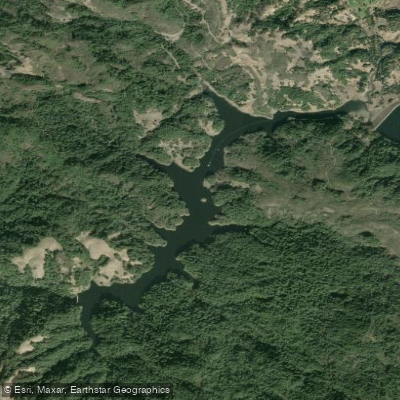
Alpine Lake
- Boat Ramps
- 0
- Access Points
- 0
- Campsites
- 6
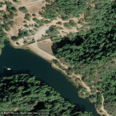
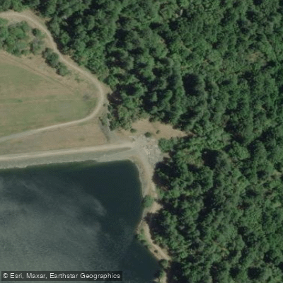
Alpine Lake is the largest reservoir in Marin County's Municipal Water District system, located in the Mt. Tamalpais watershed near Fairfax. This scenic 224-acre lake is nestled in a forested canyon at approximately 650 feet elevation, surrounded by Douglas fir, redwood, bay, and madrone trees that provide shade and natural beauty along much of the shoreline.
**Access and Regulations:** No boating, swimming, or kayaking is permitted on Alpine Lake, as it serves as a drinking water source for Marin County residents. The reservoir is part of the Marin Municipal Water District's protected watershed, which supplies 75% of Marin's domestic water. To prevent contamination, all watercraft, swimming, and body contact with the water are strictly prohibited. Dogs are also not allowed in the water.
**Hiking and Shore Access:** While paddling isn't an option, Alpine Lake can be enjoyed from several excellent hiking trails. The Kent Trail follows portions of the northern shoreline, offering close-up views of the water. The Azalea Hill Trail provides access from Bolinas-Fairfax Road, and various connecting trails create loop opportunities around Bon Tempe Lake and along Alpine Lake's edges. The trails through this area pass through diverse terrain including open meadows with wildflowers in spring, shaded forest sections, and rocky outcroppings.
**Scenery and Wildlife:** The lake offers stunning views, particularly from elevated trails and the Bon Tempe Dam. Wildlife is abundant, with opportunities to spot deer, ospreys, bald eagles (which nest in the area), river otters, and various waterfowl. The peaceful setting and dramatic canyon topography make this a popular destination for hikers and photographers, though paddlers must seek other nearby waters like Tomales Bay or Richardson Bay for on-water recreation.
Water access, boat ramps & amenities
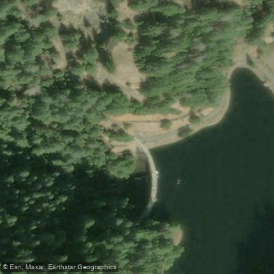
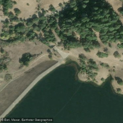
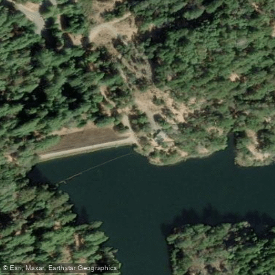
Learn how to get on Alpine Lake. Uncover great paddling access points, boat ramps, and all the facilities you need for an unforgettable day on the water. Some locations shown may border or include private property. Always check property boundaries and applicable regulations before visiting. PaddleWays's Public & Private Land layer can help you plan your access with confidence.
Paddle smarter with real-time insights
Whether you're en route and conditions shift or you're looking for the best spot based on current flows, we enable you to make informed decisions on the fly.








Find Places to Paddle

Over 400,000 Places to Paddle
Every user gets free access to launch points, boat ramps, and public property parcels.


Water and weather conditions (10 day forecast)
See the best times to paddle Alpine Lake and check the forecast before you go.
No forecast data available.
Paddling near Alpine Lake

San Joaquin River

Sacramento River

San Francisco Bay
Russian River
Lagunitas Creek

San Pablo Bay
Napa River

Richardson Bay
Nicasio Reservoir
Explore California waters
Top paddling waters
Popular Cities
Loading popular cities...
Explore near Alpine Lake
Access points
Nearby waters
More in California

Smarter Paddling Starts in the App.
Paddleways gives you everything you need to plan smarter, paddle better, and own every trip from first launch to takeout.