Seaplane Harbor
- Saltwater
- Harbor
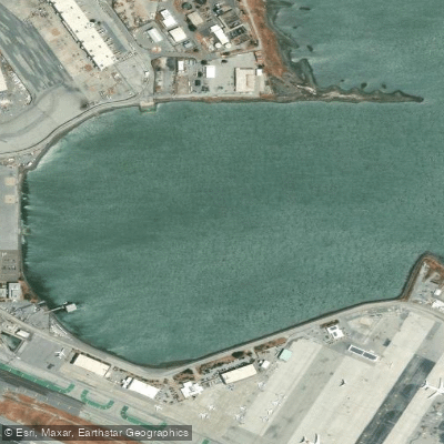
Seaplane Harbor
- Saltwater
- Harbor
- Sq. miles
- 0.2
- Boat Ramps
- 0
- Access Points
- 0
- Campsites
- 0
Seaplane Harbor is a coastal harbor located at coordinates 37.6367°N, 122.3830°W, placing it within San Francisco Bay, California. The water body experiences significant tidal fluctuations typical of the region, with a tidal range that can exceed nine feet. During a sample month, the maximum predicted tide reached 8.36 feet while the minimum dropped to -1.09 feet, indicating that extensive mudflats may be exposed during low tide. Paddlers must plan their trips around these tides, as launching or landing at a very low tide could be problematic. The tide cycle is semi-diurnal, generally featuring two high and two low tides each day. The timing of these tides shifts daily, so consulting a current tide chart for station 9414413 is essential for timing a paddle to avoid strong currents or being stranded by receding water. The harbor's location on San Francisco Bay means it is exposed to the prevailing winds and weather patterns of the larger bay, which can generate chop and fetch. The area is also adjacent to major shipping channels and airports, indicating the potential for significant boat traffic, including commercial vessels and seaplanes, from which the harbor derives its name. Paddlers should exercise extreme caution, stay clear of marked channels, and be highly visible. The specific locations of public launches, take-outs, and amenities are not detailed, requiring paddlers to research local access points independently. Water temperature data is not published for this station, but paddlers should anticipate the cold waters typical of the California coast and San Francisco Bay, necessitating appropriate immersion gear. The aesthetic is defined by its urban bay setting, with views likely encompassing the broader bay landscape and associated maritime activity.
Water access, boat ramps & amenities
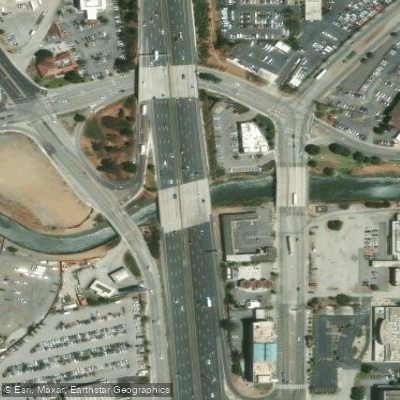
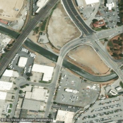
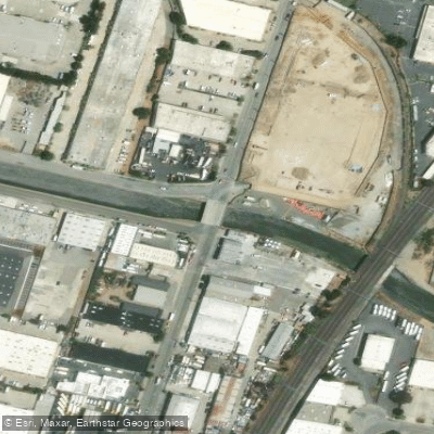
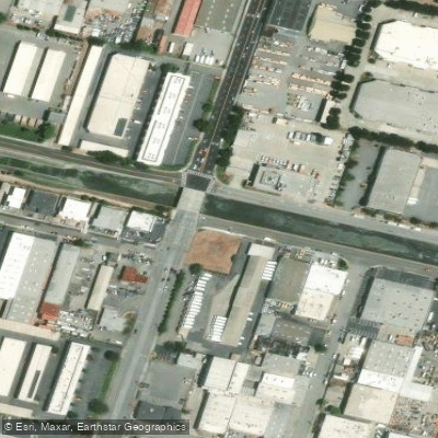
Learn how to get on Seaplane Harbor. Uncover great paddling access points, boat ramps, and all the facilities you need for an unforgettable day on the water. Some locations shown may border or include private property. Always check property boundaries and applicable regulations before visiting. PaddleWays's Public & Private Land layer can help you plan your access with confidence.
Paddle smarter with real-time insights
Whether you're en route and conditions shift or you're looking for the best spot based on current flows, we enable you to make informed decisions on the fly.








Find Places to Paddle

Over 400,000 Places to Paddle
Every user gets free access to launch points, boat ramps, and public property parcels.


Tides, wind & water conditions (10 day forecast)
On open water, wind and tide matter as much as the weather. See the best times to paddle Seaplane Harbor and check the marine forecast before you launch.
Loading tide predictions…
Paddling near Seaplane Harbor

San Joaquin River

Sacramento River

San Francisco Bay
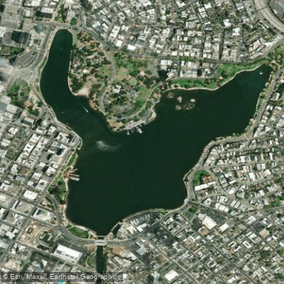
Lake Merritt
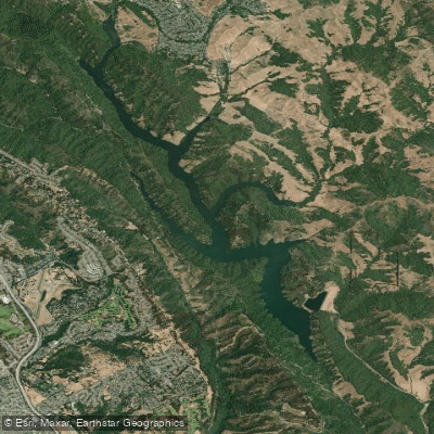
Upper San Leandro Reservoir
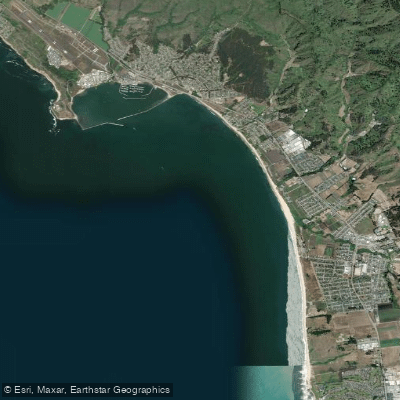
Half Moon Bay
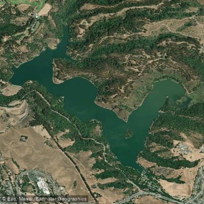
Lake Chabot
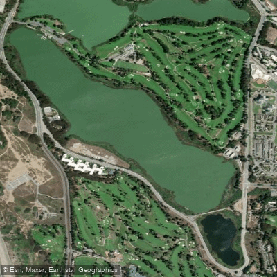
Lake Merced

San Pablo Bay
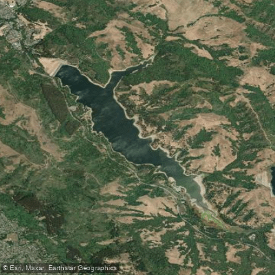
San Pablo Reservoir
Explore California waters
Top paddling waters
Popular Cities
Loading popular cities...
Explore near Seaplane Harbor
Access points
Nearby waters
More in California

Smarter Paddling Starts in the App.
Paddleways gives you everything you need to plan smarter, paddle better, and own every trip from first launch to takeout.