Sugar Pine Reservoir
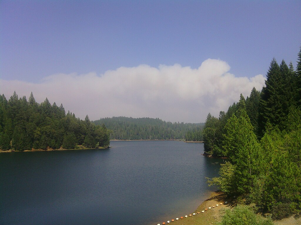
Sugar Pine Reservoir
- Boat Ramps
- 1
- Access Points
- 2
- Campsites
- 7
Sugar Pine Reservoir, located northeast of Auburn in the Tahoe National Forest, offers an ideal destination for flatwater paddling on a 165-acre lake with 3.5 miles of forested shoreline. A concrete boat ramp and metal floating dock with handrails on the southern shore provide straightforward access for paddlers.
The 10 mph speed limit for all watercraft ensures a peaceful paddling environment with minimal motorboat traffic. The reservoir features clear water and a bottom composed of large and small rocks, with some submerged trees near the dam and stumps throughout. The western shoreline drops off quickly, while the eastern shore offers more varied terrain with flats, points, and drop-offs.
Wildlife viewing opportunities include osprey and river otters, with the quiet nature of paddling allowing for close observation. The shoreline is dominated by sugar pines and mixed conifers, creating an attractive backdrop. The reservoir reaches depths over 100 feet near the dam face.
Facilities include restrooms, picnic areas, and a $5 per vehicle parking fee at the boat ramp. The Joshua M. Hardt Memorial Trail circles the entire reservoir, providing paddlers the option to combine paddling with hiking. The best paddling season runs from April through November, though summer can bring increased activity from campers at the two nearby campgrounds.
Forbes Creek enters through a bay midway along the eastern shore, creating an interesting paddling destination with its winding creek channel. The north end, where Shirttail Creek flows in, features gravel humps and flats worth exploring.
The reservoir, completed in 1982 as part of the Central Valley Water Project, maintains consistent water levels for its primary purpose of providing irrigation and drinking water. The combination of speed restrictions, limited size, and surrounding forest creates an intimate paddling experience suitable for all skill levels.
Water access, boat ramps & amenities
Learn how to get on Sugar Pine Reservoir. Uncover great paddling access points, boat ramps, and all the facilities you need for an unforgettable day on the water. Some locations shown may border or include private property. Always check property boundaries and applicable regulations before visiting. PaddleWays's Public & Private Land layer can help you plan your access with confidence.

Paddle smarter with real-time insights
Whether you're en route and conditions shift or you're looking for the best spot based on current flows, we enable you to make informed decisions on the fly.








Find Places to Paddle

Over 400,000 Places to Paddle
Every user gets free access to launch points, boat ramps, and public property parcels.


Water and weather conditions (10 day forecast)
See the best times to paddle Sugar Pine Reservoir and check the forecast before you go.
No forecast data available.
Paddling near Sugar Pine Reservoir
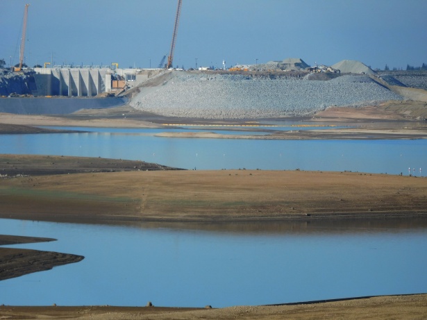
Folsom Lake

North Fork American River
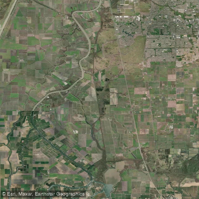
Snodgrass Slough
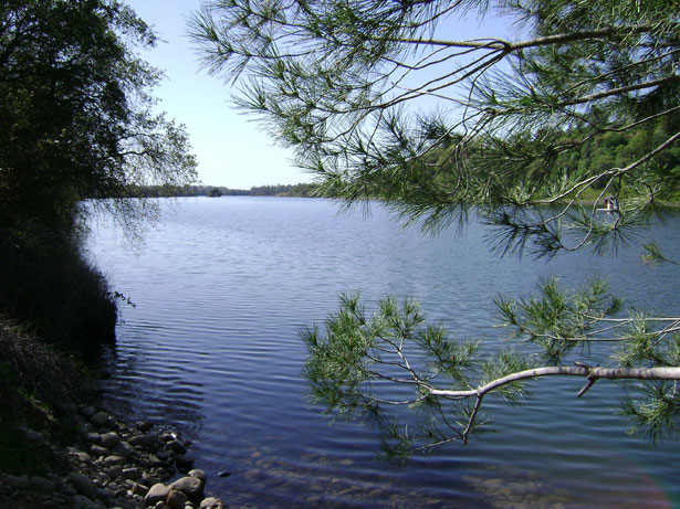
Lake Natoma

American River
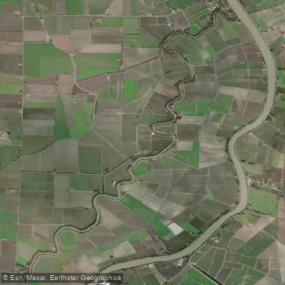
Elk Slough
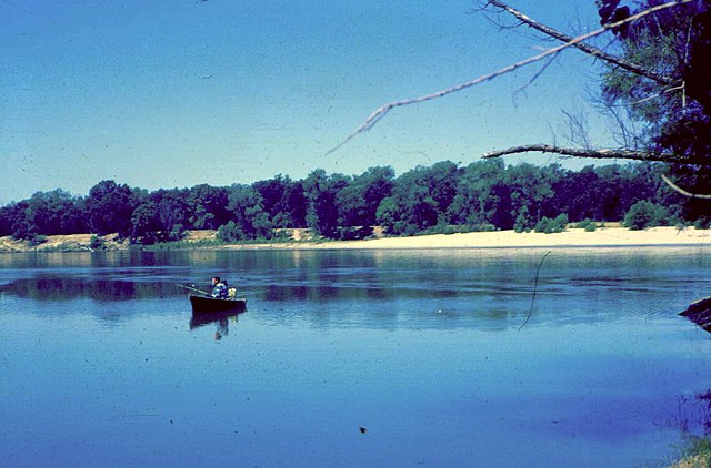
Feather River

Sacramento River
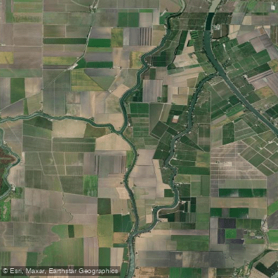
Sutter Slough
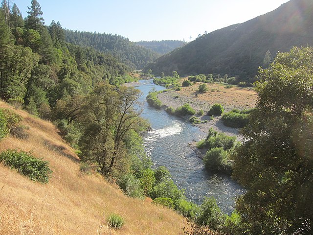
Middle Fork American River
Explore California waters
Top paddling waters
Popular Cities
Loading popular cities...
Explore near Sugar Pine Reservoir
Access points
Nearby waters
More in California

Smarter Paddling Starts in the App.
Paddleways gives you everything you need to plan smarter, paddle better, and own every trip from first launch to takeout.