Sutter Slough
- Saltwater
- Sea area
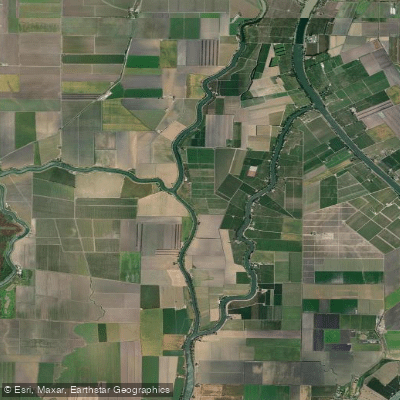
Sutter Slough
- Saltwater
- Sea area
- Sq. miles
- 0.2
- Boat Ramps
- 0
- Access Points
- 0
- Campsites
- 0
Sutter Slough is a tidal slough located in the heart of the California Delta, just west of Walnut Grove. It is part of a network of interconnected waterways, including Steamboat Slough, Miner Slough, and Elk Slough, which surround Sutter Island. Paddling here is a tidal experience, with currents driven by the daily tide cycle. Timing a paddle with the incoming or outgoing tide is crucial for efficient travel, as the current can be swift. One paddler launched just before noon to ride an incoming tide north, while another planned a trip to turn around as the tide turned to assist the return journey. A common route involves launching from the Hogback Island Recreational Facility, paddling north on Steamboat Slough, and entering Sutter Slough. Access points also include a levee road on Sutter Island itself and the Walnut Grove Marina area, which provides boat ramp access to the Sacramento River and connecting sloughs. The water is noted for its exceptional clarity, even after storms, and the scenery is defined by tree-lined levees with oak and eucalyptus. Wildlife sightings are frequent, including hawks, owls, blue herons, and seals. A significant navigational feature is the presence of cable-drawn ferries, such as the J-Mack ferry at Howard Landing, which cross the sloughs; paddlers should pause, signal to the operator, and cross the ferry cable with caution. The area is also used by larger vessels, requiring careful crossing of shipping channels. The overall character is a mix of natural beauty and historic Delta infrastructure. A proposal by the Department of Water Resources to install temporary rock dams at Sutter Slough, Steamboat Slough, and False River would significantly alter access and flow. Guided tours are available from local outfitters for those seeking a structured exploration.
Water access, boat ramps & amenities
Learn how to get on Sutter Slough. Uncover great paddling access points, boat ramps, and all the facilities you need for an unforgettable day on the water. Some locations shown may border or include private property. Always check property boundaries and applicable regulations before visiting. PaddleWays's Public & Private Land layer can help you plan your access with confidence.
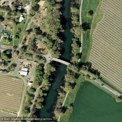
Paddle smarter with real-time insights
Whether you're en route and conditions shift or you're looking for the best spot based on current flows, we enable you to make informed decisions on the fly.








Find Places to Paddle

Over 400,000 Places to Paddle
Every user gets free access to launch points, boat ramps, and public property parcels.


Tides, wind & water conditions (10 day forecast)
On open water, wind and tide matter as much as the weather. See the best times to paddle Sutter Slough and check the marine forecast before you launch.
Loading tide predictions…
Paddling near Sutter Slough

Sacramento River

American River
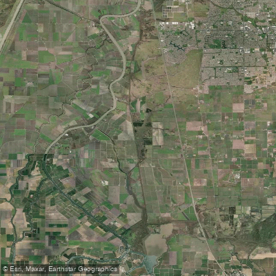
Snodgrass Slough

Mokelumne River
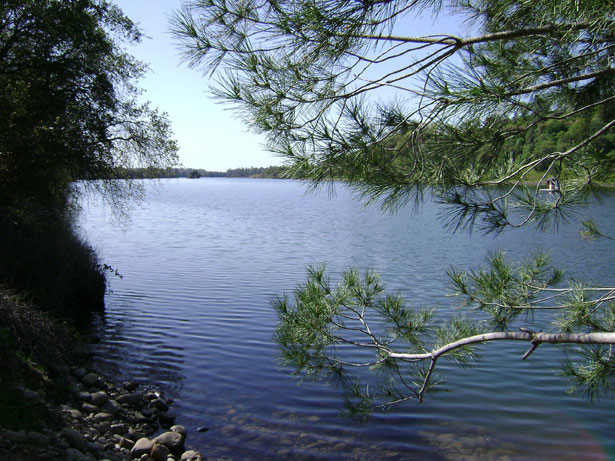
Lake Natoma
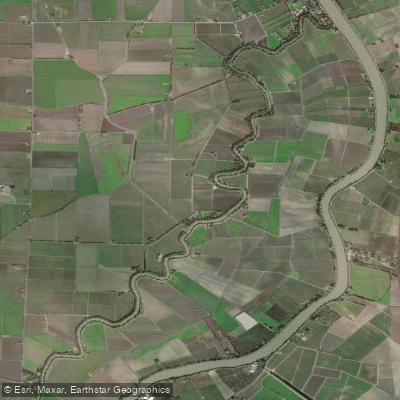
Elk Slough
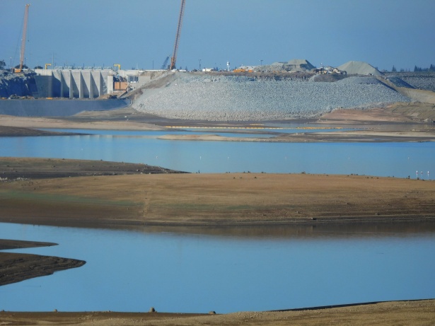
Folsom Lake

North Fork American River
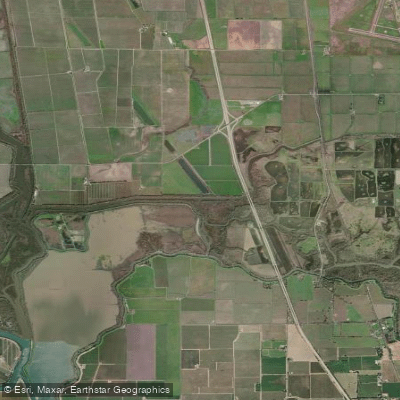
Lost Slough

San Joaquin River
Explore California waters
Top paddling waters
Popular Cities
Loading popular cities...
Explore near Sutter Slough

Smarter Paddling Starts in the App.
Paddleways gives you everything you need to plan smarter, paddle better, and own every trip from first launch to takeout.