Curated by PaddleWays
RouteClass II–III
- Distance
- 1.2 mi
- Paddle time
- ~0.5 hrs
- Best for
- Experienced paddlers
- Put-in & take-out
- West Branch Farmington River Access
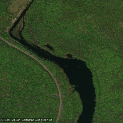
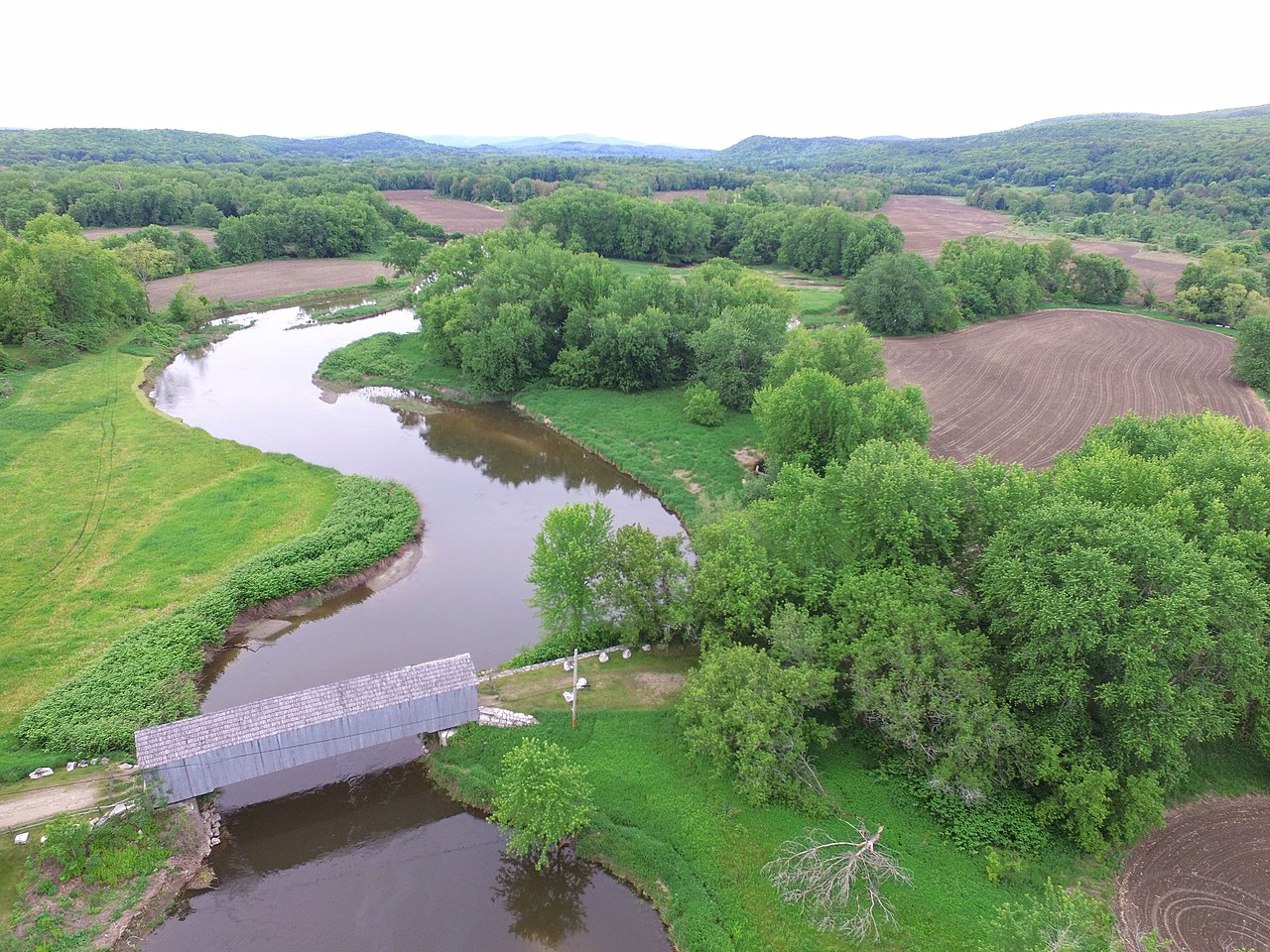
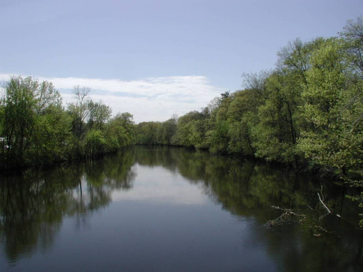
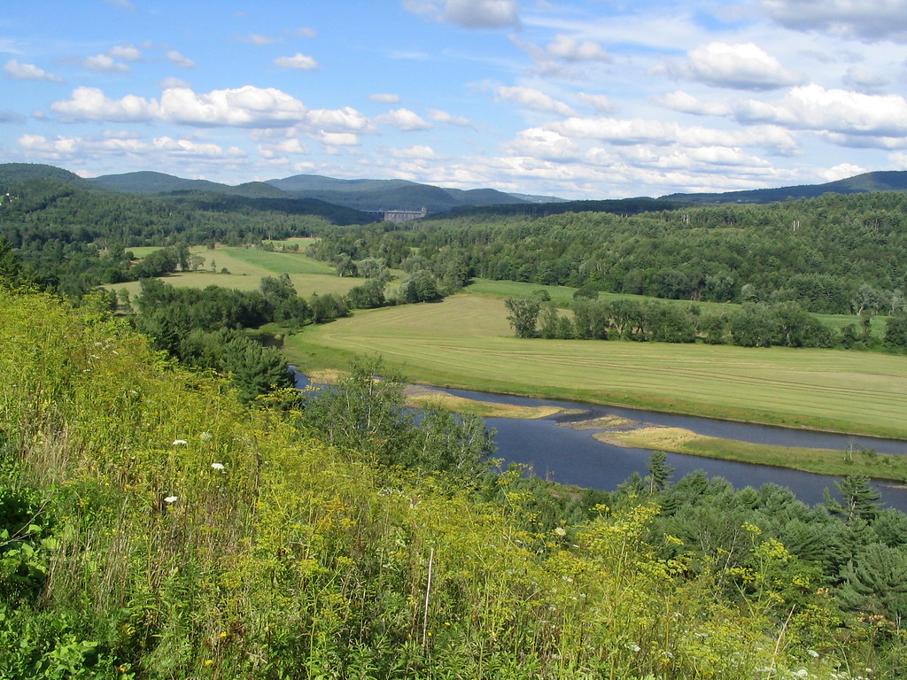
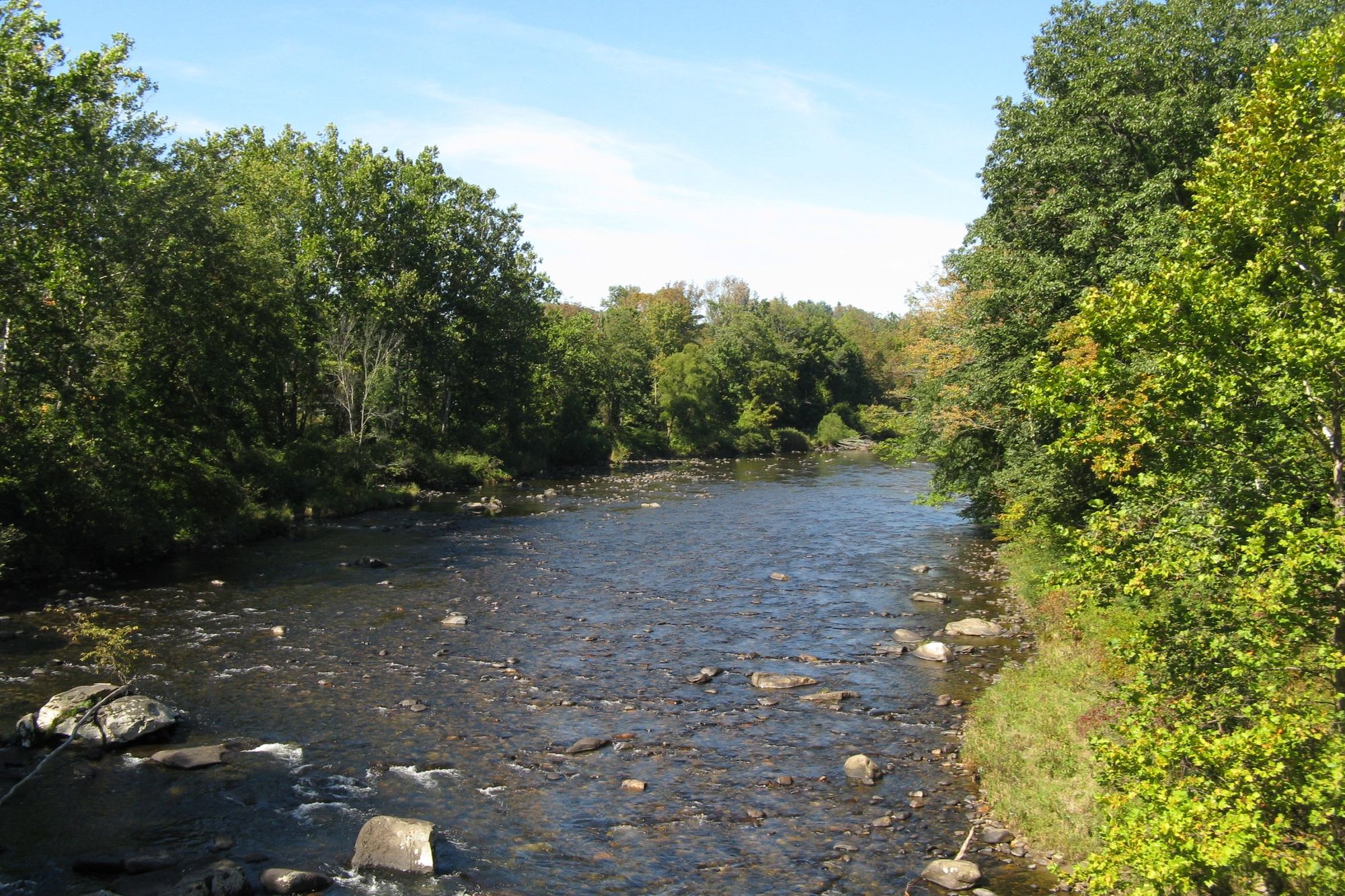
The West Branch Farmington River originates in southwestern Massachusetts and flows southeast into Connecticut, joining the main stem Farmington River near New Hartford, CT. This scenic river runs approximately 40 miles through forested hills and rural landscapes. Paddlers can enjoy a variety of experiences on the West Branch, from calm flatwater sections to challenging whitewater. The upper reaches in Massachusetts offer a mix of Class II-III rapids, with the Lower New Boston section providing an exciting 2.25-mile run featuring closely-spaced ledges and technical maneuvering. As the river enters Connecticut, the Goodwin Dam to Riverton stretch offers 2.4 miles of Class I-II water popular with canoeists and kayakers. Below Riverton, more experienced paddlers can tackle the 10-mile Goodwin Dam to Satan's Kingdom run, with its Class III-IV rapids. For a mellower trip, the flatwater section from Route 4 Bridge to Curtiss Park in Simsbury is ideal for novices and families. The river's difficulty ranges from flatwater to Class IV, requiring varying skill levels.
Spring high water provides the best whitewater conditions, while summer offers reliable flows for all abilities thanks to dam-controlled releases. Fall foliage season brings spectacular scenery. The West Branch supports diverse wildlife, including trout, bald eagles, and river otters. Paddlers can enjoy views of forested hills, historic mill towns, and landmarks like the Old Drake Hill Flower Bridge. Key access points include Lower New Boston (MA), Goodwin Dam (Hartland, CT), Riverton (CT), Satan's Kingdom State Recreation Area (New Hartford, CT), and Curtiss Park (Simsbury, CT).
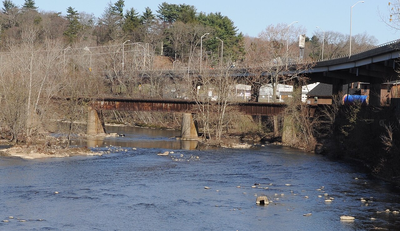
The river holds cultural significance as a center of early industry, with remnants of old mills dotting its banks. A 14-mile section from Goodwin Dam to Canton is designated as a National Wild and Scenic River, recognizing its outstanding natural and recreational values. Paddlers should be aware of fluctuating water levels due to dam releases and use caution in high water conditions. Personal flotation devices are required. For those seeking a multi-day adventure, it's possible to combine various sections for longer trips, with camping available at nearby state forests and parks.
Curated routes
Hand-picked by the PaddleWays team, with put-ins, take-outs, paddle times and the hazards along the way.
RouteClass II–III
RouteClass II–III
Hazards
No paddler has reported a hazard here yet, so these are the dams, falls and big rapids on our map. Hazards change with flows and storms, so check them before you launch.
From the community
Nobody has shared a trip on West Branch Farmington River yet. Paddle it, then tell the next paddler how it went.
See exactly where the public can get on and off the river. Launch points and boat ramps are paired with PaddleWays' public land data so you know where you can legally land.
Public shoreline
22%of the river's shoreline is public
Most of the riverbank is private. Launch, land and camp only at public access points.
Flows, weather and a route-by-route verdict, so you know which stretch of the West Branch Farmington River is worth paddling today.
All Flow Stations
Live flows, marked hazards and fresh trip reports from paddlers who were just on the water, all in one place.





Every user gets free access to launch points, boat ramps, and public property parcels.

Loading popular cities...
PaddleWays gives you everything you need to plan smarter, paddle better, and own every trip from first launch to takeout.