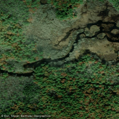
Curated by PaddleWays
RouteClass II–III
- Distance
- 6.3 mi
- Paddle time
- 3–4 hrs
- Put-in → take-out
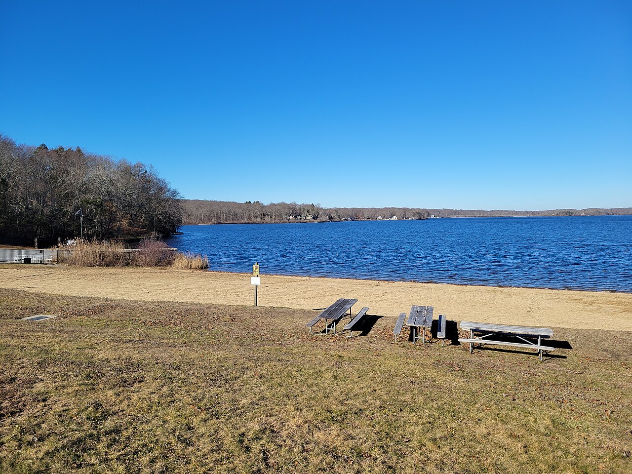
- Wood River at Rte 165 Boat Ramp → Wyoming Dam Boat Ramp
Fallen trees in spring
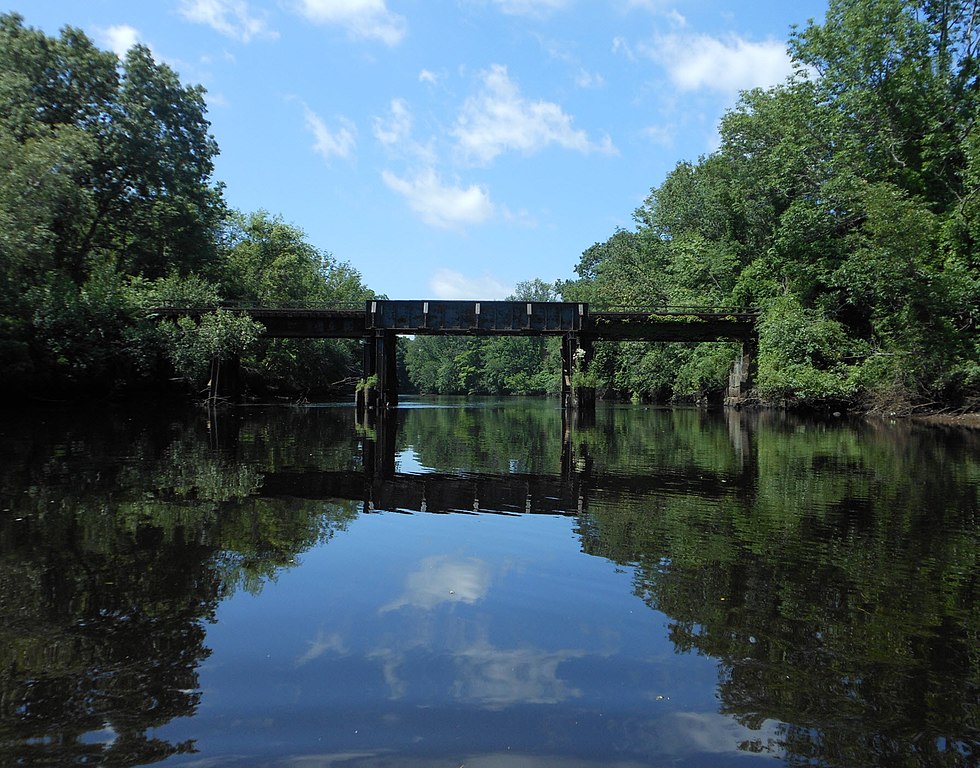
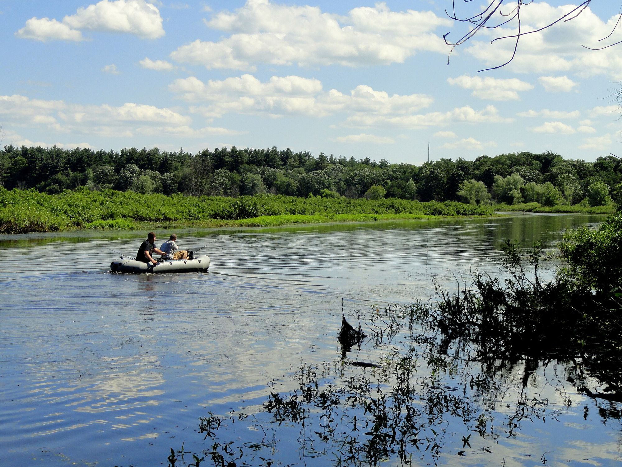
The Wood River, a pristine waterway in Rhode Island, offers paddlers a remarkable journey through some of the state's most scenic and ecologically diverse landscapes. Stretching approximately 25 miles from its headwaters in Exeter to its confluence with the Pawcatuck River, the Wood River is renowned for its exceptional water quality, diverse wildlife, and outstanding recreational opportunities.
The river is typically divided into two main sections for paddling: the Upper Wood River and the Lower Wood River. The Upper Wood River, running from Ten Rod Road (Route 165) in Exeter to Wyoming Pond in Hopkinton, is a 7.5-mile stretch that presents paddlers with a mix of fast-moving water, Class II-III rapids, and scenic forest views. This section, flowing through the heart of the Arcadia Management Area, offers one of the most impressive natural experiences in Rhode Island.
The Lower Wood River, extending about 9 miles from Hope Valley to Alton Pond, provides a more relaxed paddling experience with flatwater to Class I conditions. The Wood River caters to a range of skill levels, from beginners on the calmer lower sections to intermediate and advanced paddlers tackling the more challenging upper reaches. However, even experienced paddlers should exercise caution, particularly in the spring when water levels are higher and fallen trees may create obstacles.
Spring and early summer are generally the best times to paddle the Wood River, offering optimal water levels and lush greenery. However, the river can be enjoyed throughout the warm months, with late summer sometimes requiring more careful navigation due to lower water levels.
The river's ecosystem is teeming with life. Paddlers may spot river otters, various bird species, and potentially even deer along the forested banks. The Wood River is also famous for its excellent trout and salmon fishing, attracting anglers from across the region. Notable landmarks along the river include the Barberville Dam, which requires a portage, and several historic mill sites that harken back to the area's industrial past.
The river winds through or near several Rhode Island towns, including Exeter, Hopkinton, and Richmond, offering multiple access points for paddlers. Historically, the Wood River played a significant role in the region's development, powering mills and supporting local industries. Today, it stands as a testament to successful conservation efforts, having been designated as part of the Wood-Pawcatuck Watershed Wild and Scenic River system in 2019.
Safety is paramount when paddling the Wood River. Wearing a life jacket is essential, and paddlers should be prepared for changing conditions, especially on the upper sections. It's advisable to check water levels and any reported obstructions before embarking on a trip. For those seeking a multi-day adventure, it's possible to combine a trip on the Wood River with the connecting Pawcatuck River, offering an extended journey through Rhode Island's beautiful countryside. However, careful planning is necessary, including arranging shuttles and potential campsites.
The Wood River stands as one of Rhode Island's premier paddling destinations, offering a perfect blend of natural beauty, diverse paddling conditions, and rich cultural history. Whether you're seeking a challenging whitewater experience or a peaceful float through pristine forests, the Wood River provides an unforgettable paddling adventure in the heart of the Ocean State.
Curated routes
Hand-picked by the PaddleWays team, with put-ins, take-outs, paddle times and the hazards along the way.
RouteClass II–III
RouteFlatwater
Hazards
No paddler has reported a hazard here yet, so these are the dams, falls and big rapids on our map. Hazards change with flows and storms, so check them before you launch.
From the community
Nobody has shared a trip on Wood River yet. Paddle it, then tell the next paddler how it went.
See exactly where the public can get on and off the river. Launch points and boat ramps are paired with PaddleWays' public land data so you know where you can legally land.
Public shoreline
0%of the river's shoreline is public
Most of the riverbank is private. Launch, land and camp only at public access points.
Flows, weather and a route-by-route verdict, so you know which stretch of the Wood River is worth paddling today.
All Flow Stations
Live flows, marked hazards and fresh trip reports from paddlers who were just on the water, all in one place.





Every user gets free access to launch points, boat ramps, and public property parcels.
Loading popular cities...
PaddleWays gives you everything you need to plan smarter, paddle better, and own every trip from first launch to takeout.