Bush Key Shoal
- Saltwater
- Sea area
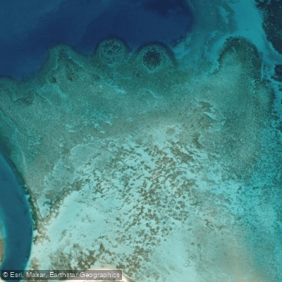
Bush Key Shoal
- Saltwater
- Sea area
- Sq. miles
- 0.2
- Boat Ramps
- 0
- Access Points
- 0
- Campsites
- 2
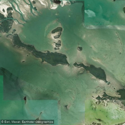
Bush Key Shoal is a marine shoal located within the Dry Tortugas National Park in the Gulf of Mexico, approximately 70 miles west of Key West, Florida. This is a remote, open-water paddling environment characterized by expansive, shallow sand and coral reef flats. The area is part of a chain of islands and shoals, forming a strategic deepwater anchorage historically guarded by Fort Jefferson. Paddlers will experience clear, emerald-blue to deep blue water over the shoals, with significant exposure to wind and waves from the open Gulf. The primary visual landmark from the water is the massive, historic Fort Jefferson on Garden Key, and a seaplane is a common sight flying over the shoal. Access for paddlers is almost exclusively via private boat or the authorized ferry or seaplane services to the national park; there is no direct mainland launch. Kayakers typically launch from a mothership anchored in the designated anchorage areas, such as near Bush Key Shoal itself, to then paddle in to the park's docks or explore the surrounding shallows. This area is adjacent to major shipping lanes, so paddlers must maintain constant awareness of substantial vessel traffic. The paddling experience is defined by its extreme remoteness, exposure to the elements, and the historical significance of Fort Jefferson. All paddlers must adhere to National Park Service regulations, which govern activities within Dry Tortugas National Park.
Water access, boat ramps & amenities
Learn how to get on Bush Key Shoal. Uncover great paddling access points, boat ramps, and all the facilities you need for an unforgettable day on the water. Some locations shown may border or include private property. Always check property boundaries and applicable regulations before visiting. PaddleWays's Public & Private Land layer can help you plan your access with confidence.
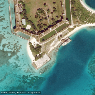
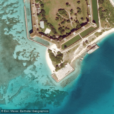
Paddle smarter with real-time insights
Whether you're en route and conditions shift or you're looking for the best spot based on current flows, we enable you to make informed decisions on the fly.








Find Places to Paddle

Over 400,000 Places to Paddle
Every user gets free access to launch points, boat ramps, and public property parcels.


Tides, wind & water conditions (10 day forecast)
On open water, wind and tide matter as much as the weather. See the best times to paddle Bush Key Shoal and check the marine forecast before you launch.
Loading tide predictions…
Paddling near Bush Key Shoal
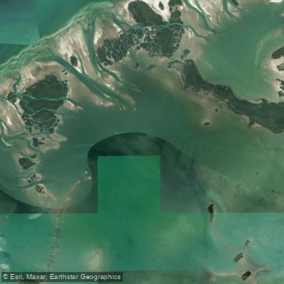
Waltz Key Basin
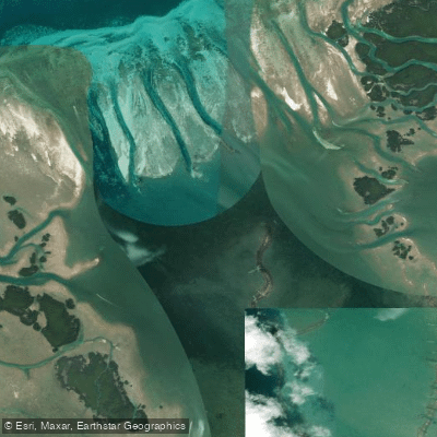
Jewfish Basin
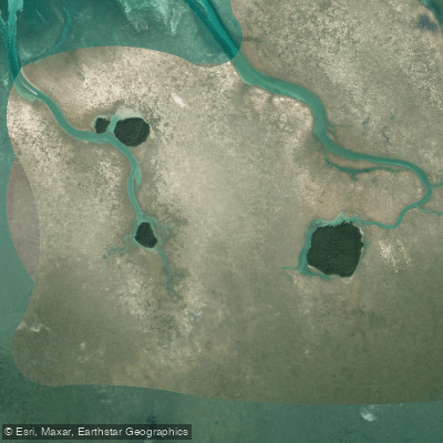
Bay Keys
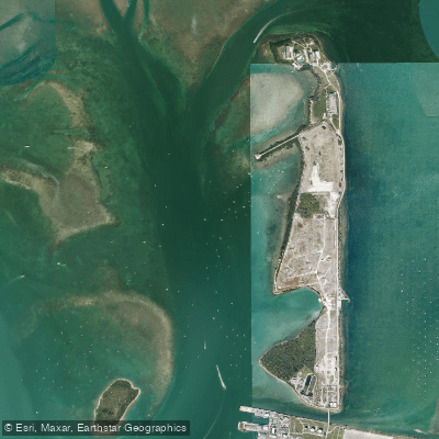
Man of War Harbor
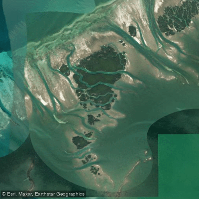
Mud Keys
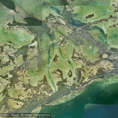
Lower Sugarloaf Sound
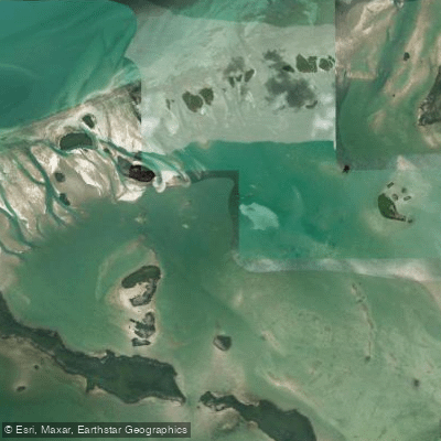
Turkey Basin
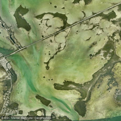
Similar Sound
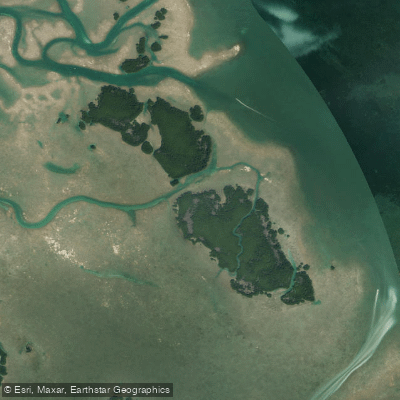
Lower Harbor Keys
Snipe Keys
Explore Florida waters
Top paddling waters
Popular Cities
Loading popular cities...
Explore near Bush Key Shoal

Smarter Paddling Starts in the App.
Paddleways gives you everything you need to plan smarter, paddle better, and own every trip from first launch to takeout.