White Shoal
- Saltwater
- Sea area
White Shoal
- Saltwater
- Sea area
- Sq. miles
- 0.2
- Boat Ramps
- 0
- Access Points
- 0
- Campsites
- 2
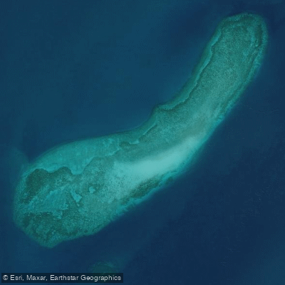
White Shoal is a remote, open-water shoal located in the Straits of Mackinac, approximately 20 miles west of the Mackinac Bridge in Lake Michigan. The primary feature is the iconic, candy-striped White Shoal Lighthouse, built in 1910, which marks this dangerous shallow area. The lighthouse sits over six miles from the nearest shore at the tip of Wilderness Peninsula and is roughly 13 miles from the nearest boat launch, indicating that any paddling trip here is a significant open-water expedition. The area is fully exposed to the prevailing winds and weather of Lake Michigan, and the shoals can create localized, severe sea conditions; experiencing 10-foot seas in the area when the rest of the lake has 5-foot waves. This makes paddling here suitable only for highly experienced kayakers or canoeists on exceptionally calm days with a stable, clear forecast. The water temperature in the area during the summer months can reach the upper 60s to low 70s Fahrenheit, as reported by the White Shoal Light buoy. Access is exclusively by private boat or via a charter operated by the lighthouse preservation society; there are no proximate public launches or take-outs for paddlers. The lighthouse itself is privately owned and maintained, and while overnight stays are sometimes offered, these are booked through the preservation society and involve a 90-minute motorboat ride from Mackinaw City. The paddling experience is defined by its extreme remoteness, significant exposure, and the historical significance of navigating near a major maritime navigational aid. Due to the distance from shore and the potential for rapidly deteriorating conditions, paddlers must be entirely self-sufficient and prepared for multi-day contingencies, as even the lighthouse operators note that rough water can strand visitors for extra nights.
Water access, boat ramps & amenities
Learn how to get on White Shoal. Uncover great paddling access points, boat ramps, and all the facilities you need for an unforgettable day on the water. Some locations shown may border or include private property. Always check property boundaries and applicable regulations before visiting. PaddleWays's Public & Private Land layer can help you plan your access with confidence.
Paddle smarter with real-time insights
Whether you're en route and conditions shift or you're looking for the best spot based on current flows, we enable you to make informed decisions on the fly.








Find Places to Paddle

Over 400,000 Places to Paddle
Every user gets free access to launch points, boat ramps, and public property parcels.


Tides, wind & water conditions (10 day forecast)
On open water, wind and tide matter as much as the weather. See the best times to paddle White Shoal and check the marine forecast before you launch.
Loading tide predictions…
Paddling near White Shoal
Waltz Key Basin
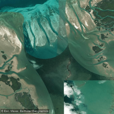
Jewfish Basin
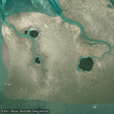
Bay Keys
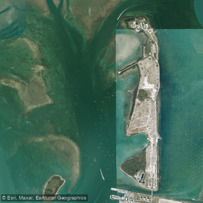
Man of War Harbor

Mud Keys
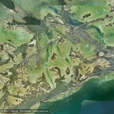
Lower Sugarloaf Sound
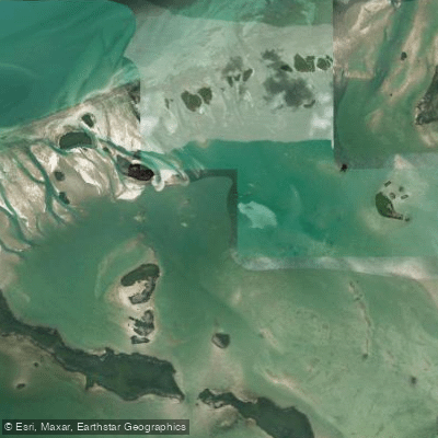
Turkey Basin
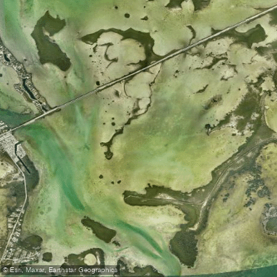
Similar Sound
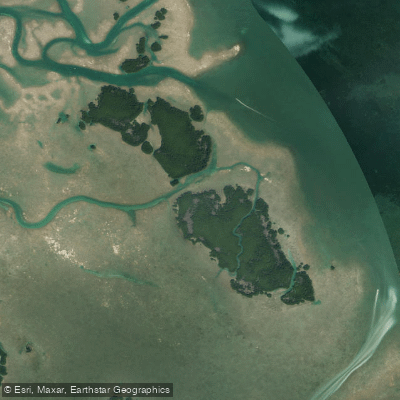
Lower Harbor Keys
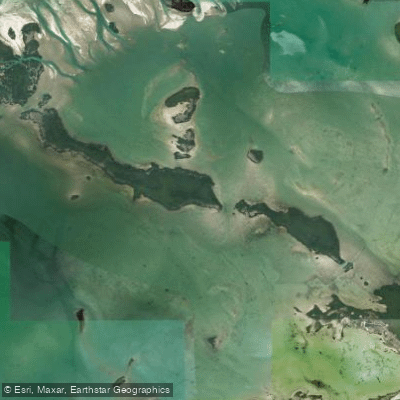
Snipe Keys
Explore Florida waters
Top paddling waters
Popular Cities
Loading popular cities...
Explore near White Shoal

Smarter Paddling Starts in the App.
Paddleways gives you everything you need to plan smarter, paddle better, and own every trip from first launch to takeout.