South Newport River
- Saltwater
- Tidal river
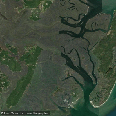
South Newport River
- Saltwater
- Tidal river
- Sq. miles
- 4.1
- Boat Ramps
- 0
- Access Points
- 0
- Campsites
- 0
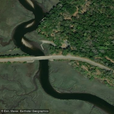
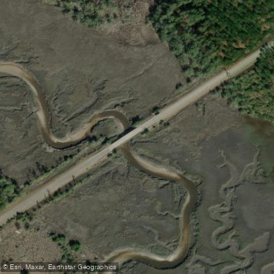
The South Newport River is a tidal river in coastal Georgia, providing a saltwater paddling environment characterized by significant tidal influence. A primary public access point is the US17 Bridge boat ramp near Townsend, Georgia, which offers a concrete launch, parking, and a picnic area. Another launch referenced is the Harris Neck Road 7223 ramp, a single-lane facility. The river is suitable for kayaks, canoes, and small to medium-sized motorized boats with a maximum of 25 horsepower; airboats and jet skis are prohibited. The paddling difficulty is generally considered beginner-level with gentle moving water, though an alternate route into the river is noted to contain open water and swift currents, indicating conditions can vary.
Tidal dynamics are a critical planning factor. The tidal range near Daymark 135 can be substantial, approximately nine feet, with currents changing direction accordingly. Paddlers must plan their trip timing to work with or against these flows. The river is part of the Atlantic Intracoastal Waterway near Mile Marker 630, so paddlers should anticipate potential powerboat traffic, especially near the channel. The anchorage description notes the area is exposed to southeast winds, which can create fetch and chop on open sections. Hazards include submerged stumps, sandbars, and a noted shoal encroaching into the channel at a 90-degree bend northwest of Mile Marker 630. The best seasons for paddling are typically spring through fall.
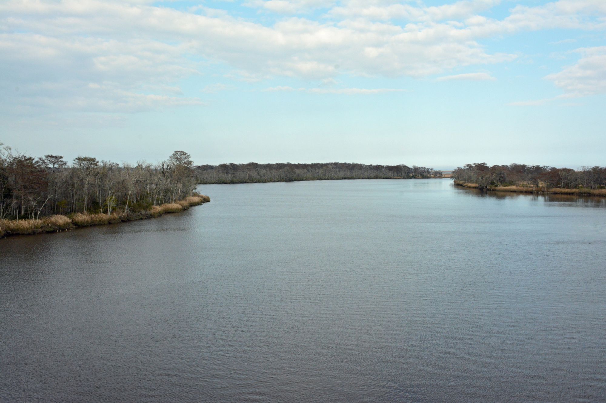
The surrounding landscape includes the Harris Neck Wildlife Refuge, and paddlers are advised to be aware of regulations, including a Georgia law prohibiting anchoring within 150 feet of private docks, 300 feet of marinas, or 500 feet of commercial shellfish growing areas. Cell service in the area is limited. The river's aesthetic is that of a coastal Georgia waterway, with stands of trees along the shorelines.
Water access, boat ramps & amenities
Learn how to get on South Newport River. Uncover great paddling access points, boat ramps, and all the facilities you need for an unforgettable day on the water. Some locations shown may border or include private property. Always check property boundaries and applicable regulations before visiting. PaddleWays's Public & Private Land layer can help you plan your access with confidence.
Paddle smarter with real-time insights
Whether you're en route and conditions shift or you're looking for the best spot based on current flows, we enable you to make informed decisions on the fly.








Find Places to Paddle

Over 400,000 Places to Paddle
Every user gets free access to launch points, boat ramps, and public property parcels.


Tides, wind & water conditions (10 day forecast)
On open water, wind and tide matter as much as the weather. See the best times to paddle South Newport River and check the marine forecast before you launch.
Loading tide predictions…
Paddling near South Newport River
Altamaha River

Savannah River
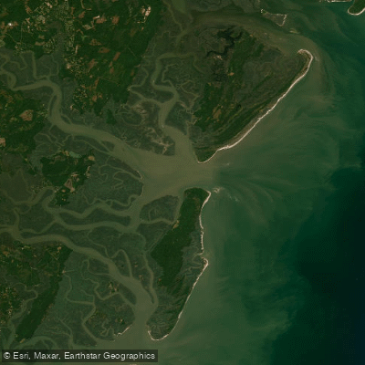
Saint Catherines Sound
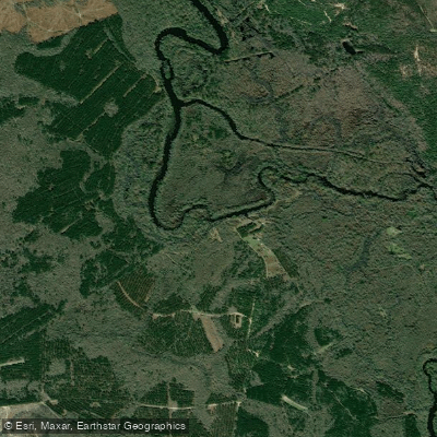
Ogeechee River
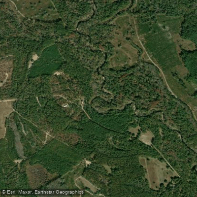
Canoochee River
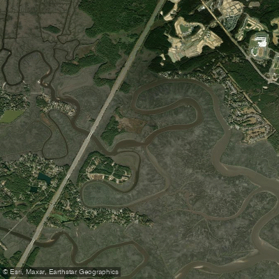
Jerico River
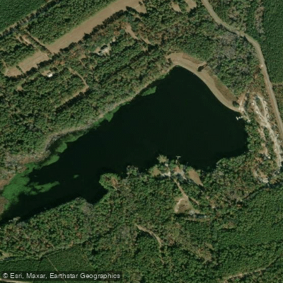
Sands Pond
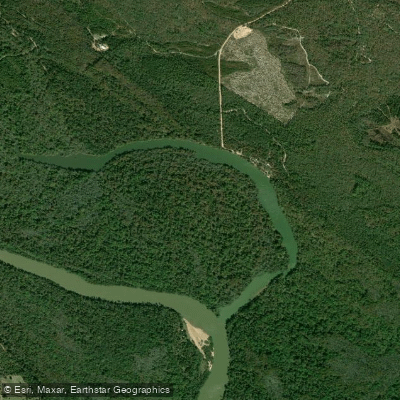
Hughes Old River
Canoochee Creek
Explore Georgia waters
Top paddling waters
Popular Cities
Loading popular cities...
Explore near South Newport River

Smarter Paddling Starts in the App.
Paddleways gives you everything you need to plan smarter, paddle better, and own every trip from first launch to takeout.