Saint Catherines Sound
- Saltwater
- Sound
Saint Catherines Sound
- Saltwater
- Sound
- Sq. miles
- 24
- Boat Ramps
- 0
- Access Points
- 0
- Campsites
- 1
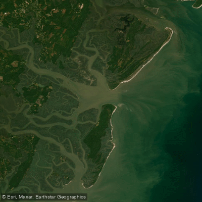
Saint Catherines Sound is a coastal sound in Liberty County, Georgia, where the Medway River meets the Atlantic Intracoastal Waterway. The sound is characterized by a broad, open expanse of saltwater with significant exposure to wind and weather. A key historical and scenic vantage point for viewing the sound is Fort Morris State Historic Site, situated on a low bluff overlooking the confluence of the Medway River and Saint Catherines Sound. This site provides a panoramic vista of the coastal environment. For paddlers, the nearby Susie King Taylor Freedom Park at Jones Creek offers a small landing with easy water access, suitable for both beginners and experienced kayakers. The Sunbury Boat Ramp, featuring a pier, serves as another potential access point for launching and provides a location to view coastal sunsets. The sound is part of a larger coastal marsh ecosystem, with nearby features including Cattle Pen Creek, Necessary Creek, Vandyke Creek, and the North Newport River, all within the Saint Catherines Sound USGS quadrangle map area. The area is known for birdwatching, with species such as wood storks, painted buntings, and great egrets commonly observed. Paddlers should anticipate this being a tidal saltwater environment with potential for strong currents, significant wind fetch across open water, and interaction with boat traffic from the Intracoastal Waterway and the historic seaport of Sunbury. The sound's open connection to the Atlantic means conditions can change rapidly, and paddlers must be prepared for crossing busy channels and navigating in exposed areas.
Water access, boat ramps & amenities
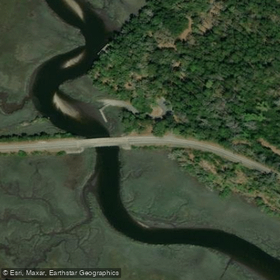
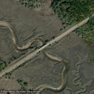
Learn how to get on Saint Catherines Sound. Uncover great paddling access points, boat ramps, and all the facilities you need for an unforgettable day on the water. Some locations shown may border or include private property. Always check property boundaries and applicable regulations before visiting. PaddleWays's Public & Private Land layer can help you plan your access with confidence.
Paddle smarter with real-time insights
Whether you're en route and conditions shift or you're looking for the best spot based on current flows, we enable you to make informed decisions on the fly.








Find Places to Paddle

Over 400,000 Places to Paddle
Every user gets free access to launch points, boat ramps, and public property parcels.


Tides, wind & water conditions (10 day forecast)
On open water, wind and tide matter as much as the weather. See the best times to paddle Saint Catherines Sound and check the marine forecast before you launch.
Loading tide predictions…
Paddling near Saint Catherines Sound

Savannah River
Altamaha River
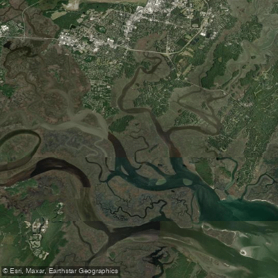
Vernon River
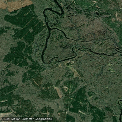
Ogeechee River
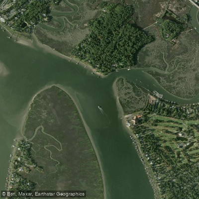
Wilmington River
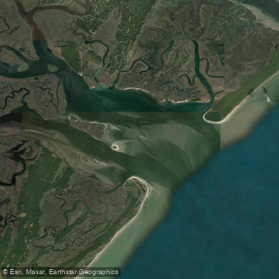
Ossabaw Sound
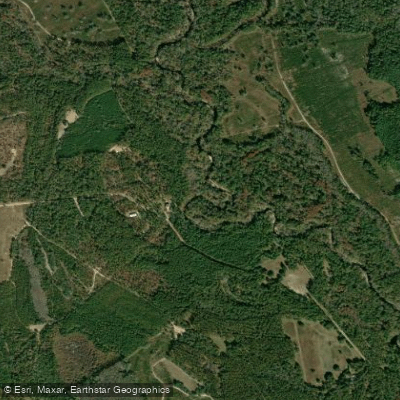
Canoochee River
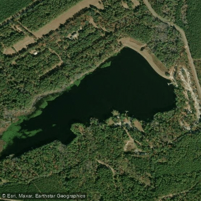
Sands Pond
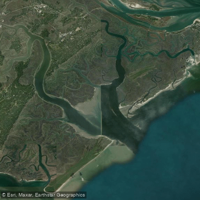
Wassaw Sound
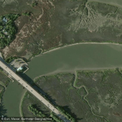
Turner Creek
Explore Georgia waters
Top paddling waters
Popular Cities
Loading popular cities...
Explore near Saint Catherines Sound

Smarter Paddling Starts in the App.
Paddleways gives you everything you need to plan smarter, paddle better, and own every trip from first launch to takeout.