Canoochee Creek
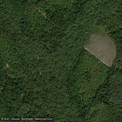
Canoochee Creek
- Boat Ramps
- 0
- Access Points
- 0
- Campsites
- 3
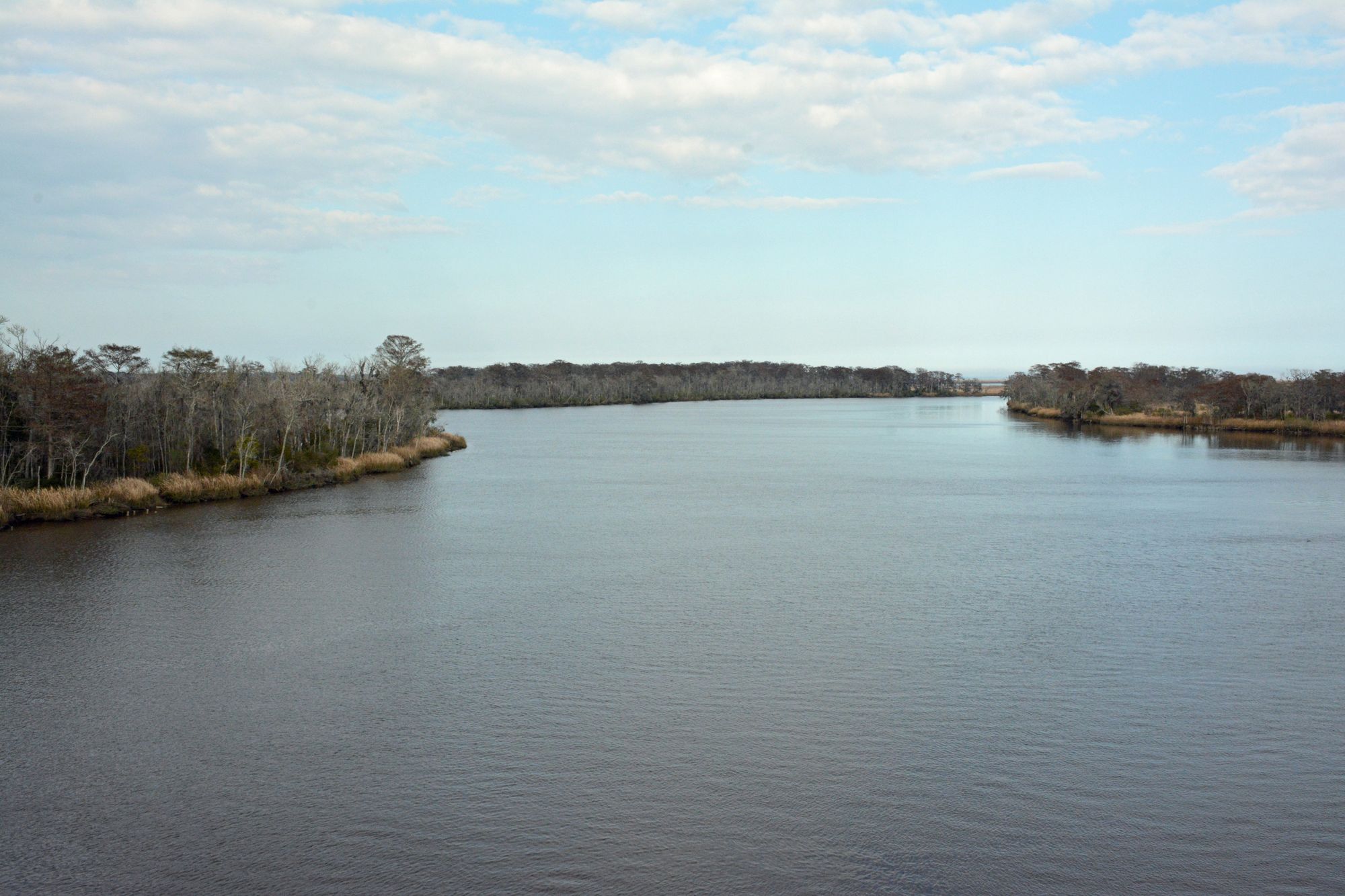
Canoochee Creek flows through southeastern Georgia as a tributary of the Canoochee River, winding through Evans, Tattnall, and Liberty counties. This blackwater creek originates in the upper coastal plain region and meanders southeastward through forested bottomlands before joining the Canoochee River near the Liberty County line. The creek's tannic waters, stained dark by decaying vegetation, move slowly through cypress swamps and miles of undeveloped forests characteristic of Georgia's coastal plain waterways.
The creek supports a thriving warm-water fishery that draws anglers throughout the year. Redbreast sunfish, locally called "roosters," are abundant and reach impressive sizes, with fish in the three-quarter-pound range common during May and June spawning periods. Bluegill, warmouth, and chain pickerel also inhabit these waters, along with largemouth bass that hold in slack water adjacent to current breaks. The creek's ecosystem includes longnose gar, bowfin, and various catfish species. American alligators inhabit the slower sections, particularly in Liberty County's tidal-influenced reaches.
Fishing techniques vary by season and target species. Topwater bugs in chartreuse patterns prove effective during warmer months, particularly when cast just outside the main current where fish wait for easy meals. Spinnerbaits in 1/16- to 1/8-ounce sizes with gold blades work well in the tannic water, with many local anglers adding live crickets to increase effectiveness. Live bait fishing under corks remains popular for panfish.
The upper sections near Claxton in Evans County feature a shallow, clear-running stream with occasional shoals. As the creek flows through Tattnall County, it becomes a lazy, meandering channel through extensive cypress swamps. In Liberty County, portions of the creek flow through Fort Stewart military installation, where access requires proper permits and advance online registration. The tidal section in lower Liberty County offers excellent redbreast fishing, with the best action occurring two to three hours before dead low tide and continuing into the first hours of the incoming tide.
Historical records reference the creek as early as 1738, when colonial trustees mentioned a proposed ferry crossing. The name "Canoochee" likely derives from Muscogee language, though its exact meaning remains debated among historians.
Water levels significantly impact fishing success and navigability. Small jonboats and kayaks work best for exploring the upper reaches, while the lower tidal sections accommodate larger vessels. The creek's remote setting, with extensive bottomland swamps and limited development, provides a genuine wilderness experience within reach of southeastern Georgia communities.
Water access, boat ramps & amenities
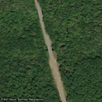
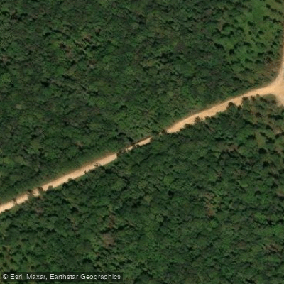
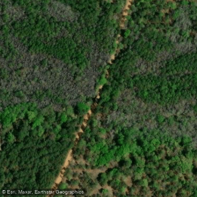
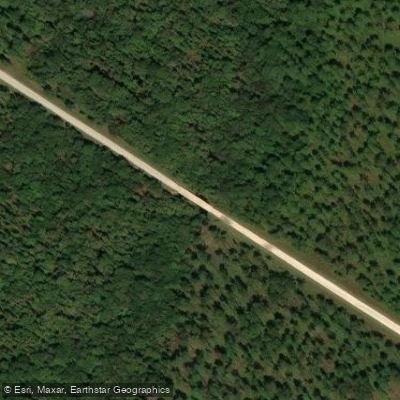
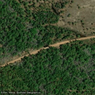
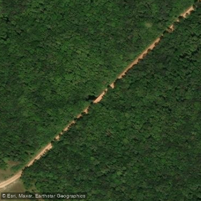
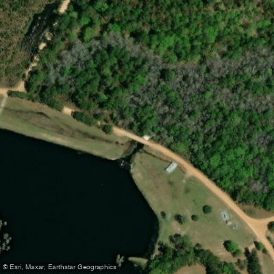
Learn how to get on Canoochee Creek. Uncover great paddling access points, boat ramps, and all the facilities you need for an unforgettable day on the water. Some locations shown may border or include private property. Always check property boundaries and applicable regulations before visiting. PaddleWays's Public & Private Land layer can help you plan your access with confidence.
Paddle smarter with real-time insights
Whether you're en route and conditions shift or you're looking for the best spot based on current flows, we enable you to make informed decisions on the fly.








Find Places to Paddle

Over 400,000 Places to Paddle
Every user gets free access to launch points, boat ramps, and public property parcels.


Water and weather conditions (10 day forecast)
See the best times to paddle Canoochee Creek and check the forecast before you go.
No forecast data available.
Paddling near Canoochee Creek
Altamaha River

Savannah River
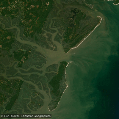
Saint Catherines Sound
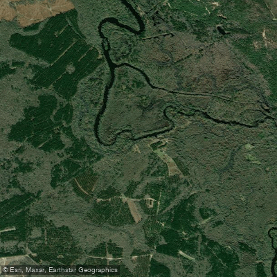
Ogeechee River
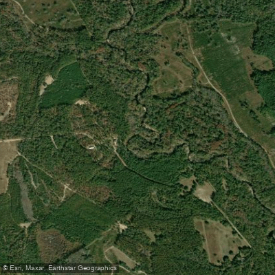
Canoochee River
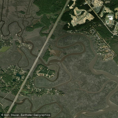
Jerico River
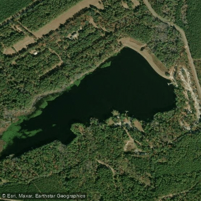
Sands Pond
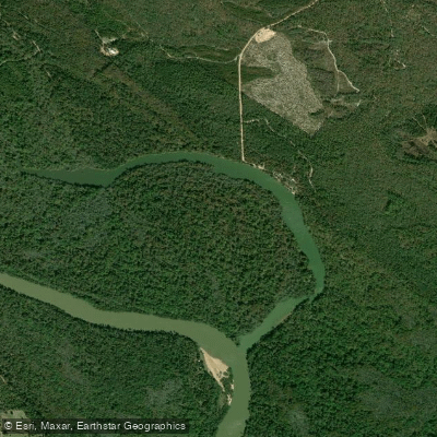
Hughes Old River
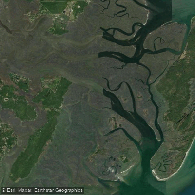
South Newport River
Explore Georgia waters
Top paddling waters
Popular Cities
Loading popular cities...
Explore near Canoochee Creek
Access points
Nearby waters
More in Georgia

Smarter Paddling Starts in the App.
Paddleways gives you everything you need to plan smarter, paddle better, and own every trip from first launch to takeout.