Curated by PaddleWays
RouteClass II–III
- Distance
- 8 mi
- Paddle time
- ~2 hrs
- Best for
- Intermediate paddlers
- Put-in → take-out
- Church Road Access → Amicalola Creek
Edge of the World Class IV rapids
Amicalola Creek is a scenic and challenging whitewater stream located in north Georgia. Originating near the base of Amicalola Falls in Dawson County, the creek flows southward for approximately 15 miles before joining the Etowah River. The creek is part of the larger Etowah River watershed within the Coosa River basin.
Paddlers can enjoy several distinct sections on Amicalola Creek, each offering unique experiences. The Upper Amicalola, from Goshen Church Road to Highway 53, provides a 10.7-mile stretch of Class II-III rapids set against a backdrop of hemlock and oak forests. The Lower Amicalola, running 9 miles from Highway 53 to Kelly Bridge, features more intense Class II-IV+ whitewater, including the infamous Edge of the World rapid. The overall difficulty ranges from Class II to IV+, requiring intermediate to advanced paddling skills. The creek's character changes dramatically at Highway 53, with the lower section presenting significantly more challenging rapids. Paddlers should have solid whitewater experience and rescue skills before attempting the lower section.
Spring and fall typically offer the best water levels for paddling, though the creek can be run year-round with sufficient rainfall. The surrounding Dawson Forest Wildlife Management Area provides habitat for diverse flora and fauna, including native trout populations. Key landmarks include the Edge of the World rapid, a Class IV feature located just downstream of the Highway 53 bridge, and several other named rapids like Off-the-Wall, Split Rock, and Roostertail in the lower section.
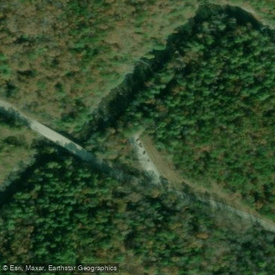
Primary access points are located at the DNR Campground on Amicalola Church Road (upper put-in), Highway 53 bridge in Dawsonville (intermediate access), and Kelly Bridge (lower take-out). The nearby town of Dawsonville serves as a base for most paddling trips.
Historically, the Amicalola Creek valley was home to Cherokee communities before European settlement. Today, the creek and surrounding forest are valued for their recreational opportunities and natural beauty, attracting paddlers, hikers, and anglers from across the region.
Safety is paramount on Amicalola Creek, especially in the lower section. Paddlers should scout rapids, wear appropriate safety gear, and be prepared for swift water rescues. As the creek runs through a wildlife management area, visitors should be aware of hunting seasons and regulations. While most trips on Amicalola Creek are day runs, the proximity to other regional paddling destinations like the Etowah and Chestatee Rivers allows for multi-day paddling adventures in north Georgia's river systems.
Curated routes
Hand-picked by the PaddleWays team, with put-ins, take-outs, paddle times and the hazards along the way.
RouteClass II–III
RouteClass II
Hazards
No paddler has reported a hazard here yet, so these are the dams, falls and big rapids on our map. Hazards change with flows and storms, so check them before you launch.
From the community
Real trips from PaddleWays paddlers: which route they ran, how the flows were, and what to watch for.
Loading trip reports
Brooke nicole J.
Kayak •
Lower Amicalola edge of the world -KELLY BRIDGE ROAD• 135 cfs at Dawsonville
Lower Amicalola edge of the world -KELLY BRIDGE ROAD
Brooke nicole J.
Kayak •
Goshen Church Road to Highway 53• 135 cfs at Dawsonville
Upper Amicalola w/ Edge of the World
See exactly where the public can get on and off the river. Launch points and boat ramps are paired with PaddleWays' public land data so you know where you can legally land.
Public shoreline
79%of the river's shoreline is public
Flows, weather and a route-by-route verdict, so you know which stretch of the Amicalola Creek is worth paddling today.
Live flows, marked hazards and fresh trip reports from paddlers who were just on the water, all in one place.





Every user gets free access to launch points, boat ramps, and public property parcels.
Loading popular cities...
PaddleWays gives you everything you need to plan smarter, paddle better, and own every trip from first launch to takeout.