Bigelow Bight
- Saltwater
- Sea area
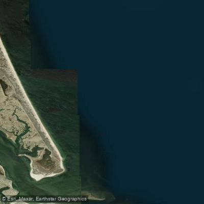
Bigelow Bight
- Saltwater
- Sea area
- Sq. miles
- 7.7
- Boat Ramps
- 0
- Access Points
- 0
- Campsites
- 0
Bigelow Bight is a large, open bay within the Gulf of Maine, located between Cape Ann in Massachusetts and Cape Small in Maine. This designation makes it a significant and exposed stretch of coastal water. For paddlers, the bight's primary characteristic is its open and challenging nature. The area between Portsmouth, New Hampshire, and the Isles of Shoals is a rough and exposed stretch that can be characteristically challenging, with conditions often including a two-foot chop. This indicates significant wind exposure and fetch across the open water, requiring careful assessment of weather and sea state before departure. The Isles of Shoals, located approximately 11 miles east of Portsmouth within the bight, are a notable destination. Gosport Harbor at the Isles offers nearly all-round protection and is a potential landing or rest point, though it is a considerable open-water crossing. Paddlers should be aware of significant boat traffic, including freight runs and whale-watching tours, and the potential for a surf zone at coastal entry points. The area is known for whale sightings, particularly minke whales. While no specific public launch sites are detailed within the bight itself, the nearby Ogunquit River and areas within Casco Bay, such as the Harraseeket route, provide access points to the broader Gulf of Maine waters that feed into the bight. Due to its exposed nature, this area is suitable only for experienced paddlers with proper equipment and seamanship skills for open coastal conditions.
Water access, boat ramps & amenities
Learn how to get on Bigelow Bight. Uncover great paddling access points, boat ramps, and all the facilities you need for an unforgettable day on the water. Some locations shown may border or include private property. Always check property boundaries and applicable regulations before visiting. PaddleWays's Public & Private Land layer can help you plan your access with confidence.
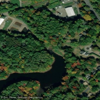
Paddle smarter with real-time insights
Whether you're en route and conditions shift or you're looking for the best spot based on current flows, we enable you to make informed decisions on the fly.








Find Places to Paddle

Over 400,000 Places to Paddle
Every user gets free access to launch points, boat ramps, and public property parcels.


Tides, wind & water conditions (10 day forecast)
On open water, wind and tide matter as much as the weather. See the best times to paddle Bigelow Bight and check the marine forecast before you launch.
Loading tide predictions…
Paddling near Bigelow Bight

Merrimack River
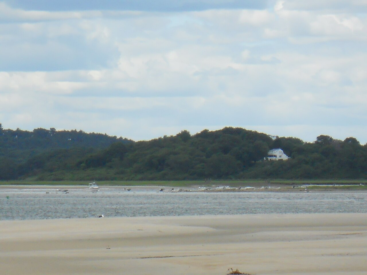
Ipswich River

Massachusetts Bay

Concord River

Charles River
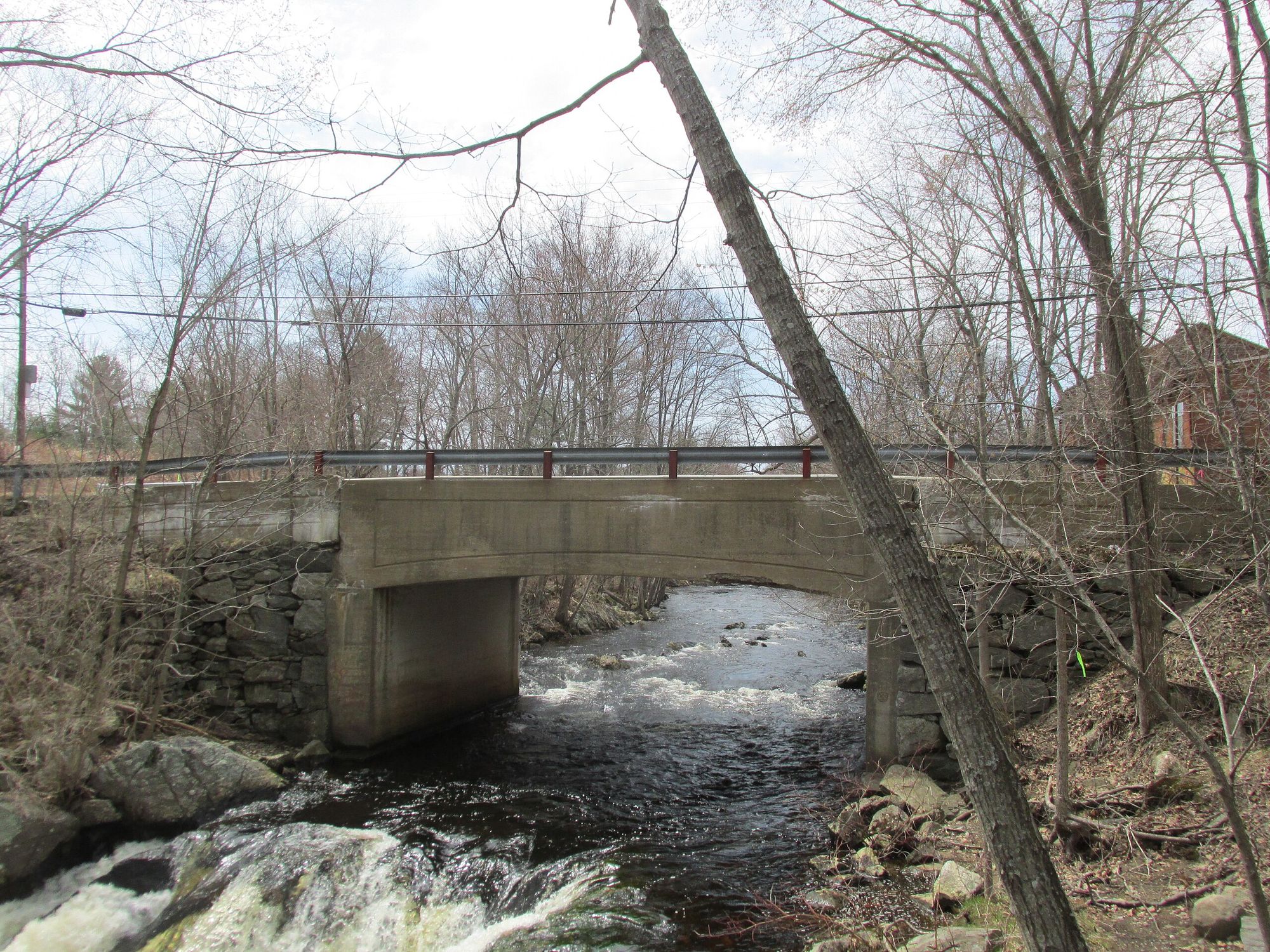
Exeter River
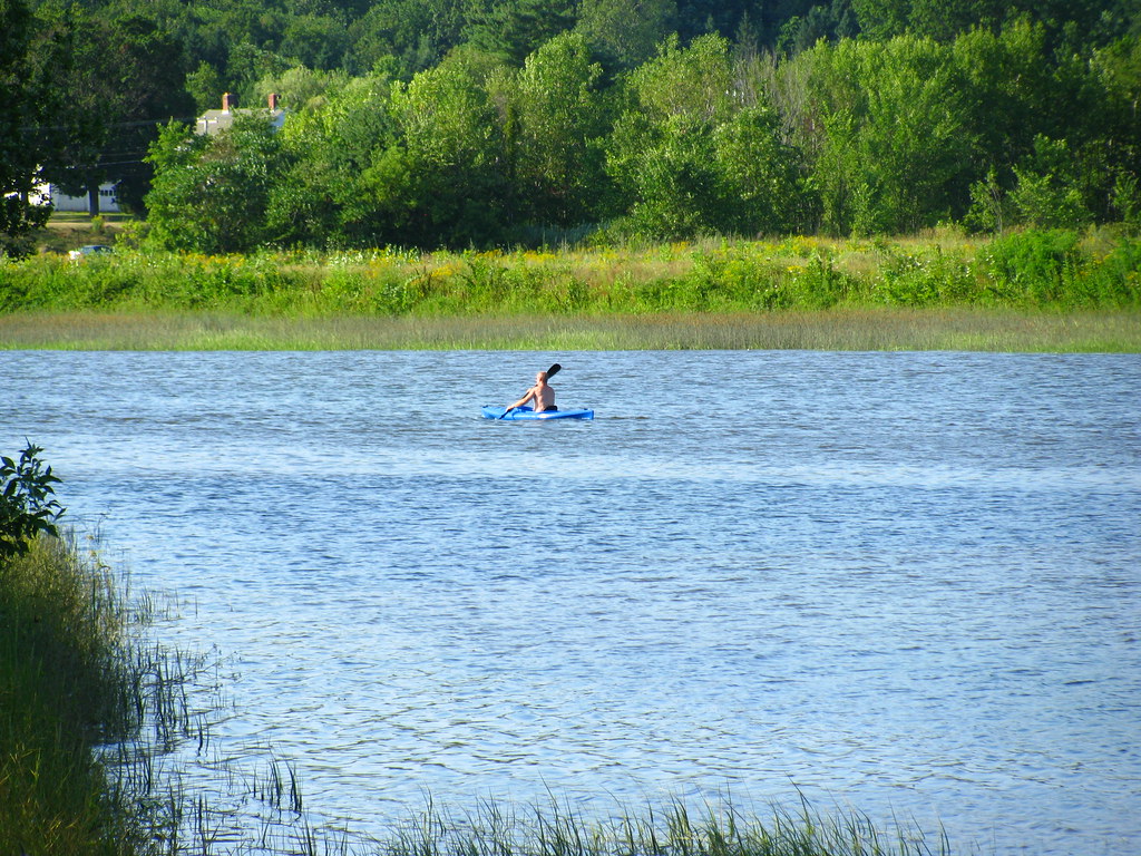
Squamscott River
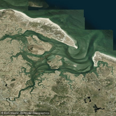
Essex River

Sudbury River
Explore Massachusetts waters
Top paddling waters
Popular Cities
Loading popular cities...
Explore near Bigelow Bight
Access points
Nearby waters
More in Massachusetts

Smarter Paddling Starts in the App.
Paddleways gives you everything you need to plan smarter, paddle better, and own every trip from first launch to takeout.