Essex River
- Saltwater
- Tidal river
Essex River
- Saltwater
- Tidal river
- Sq. miles
- 2.5
- Boat Ramps
- 0
- Access Points
- 0
- Campsites
- 0
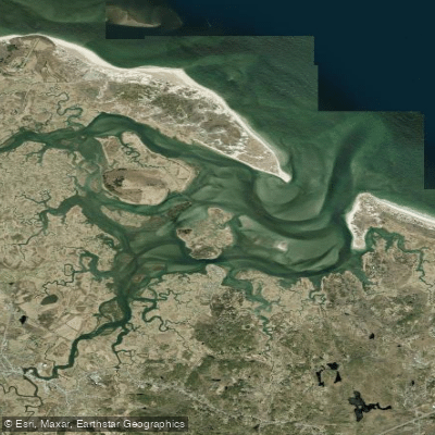
The Essex River is a tidal estuary and salt marsh system on the North Shore of Massachusetts, forming the core of the Essex River Basin. It flows through the Great Marsh, the largest contiguous salt marsh in New England, creating a complex maze of creeks and islands protected by the Castle Neck peninsula. Public access for paddlers is notably limited, requiring careful planning. A primary public boat launch is located at 138 Conomo Point Road in Essex. An alternative, informal launch exists in Ebben Creek directly behind J.T. Farnham's restaurant on Route 133, where paddlers can park on the gravel shoulder across the road; this site involves a short walk down a slippery, muddy embankment through cordgrass and can be crowded when the restaurant is busy. Another access point for rentals and tours is at the Essex Marina on Dodge Street, serviced by Cape Ann SUP & Surf Co. Paddling from downtown Essex involves a long journey down the river and often passes significant motorboat traffic.
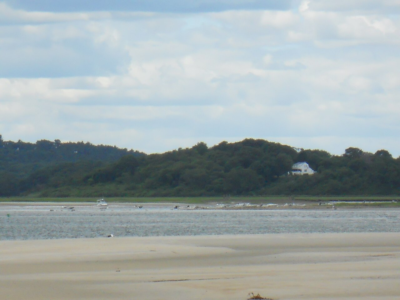
The paddling experience is entirely governed by tides. Vast mud flats are exposed at low tide, and currents can be strong in the main channels. Planning a trip to coincide with favorable tides is essential, and guided tours explicitly adjust their routes based on daily wind and tide conditions. The area is generally sheltered within the river basin and the Castle Neck River, but opens into Essex Bay, where wind exposure and fetch increase. Motorboat traffic is a noted hazard, particularly in the main channel from Essex. A popular day trip involves launching from Conomo Point, paddling past Corn Island and along the Choate Island Channel beside the Great East Sand Bar to reach the back side of Crane Beach, a secluded white sand beach ideal for a swim or lunch. From there, many continue to the Crane Wildlife Refuge, a cluster of seven islands including Choate Island, the largest. Paddlers are permitted to land on Choate Island to hike its mown trails, visit historic 18th-century buildings, and enjoy panoramic views from the island's summit. The area is rich in wildlife, including herons, egrets, osprey, deer, and coyote. The scenic beauty is defined by expansive marsh grasses, winding tidal creeks, and sandy barrier beaches.
Water access, boat ramps & amenities
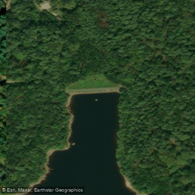
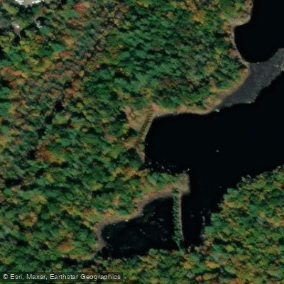
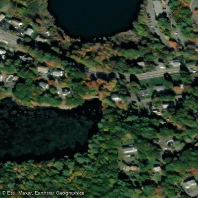
Learn how to get on Essex River. Uncover great paddling access points, boat ramps, and all the facilities you need for an unforgettable day on the water. Some locations shown may border or include private property. Always check property boundaries and applicable regulations before visiting. PaddleWays's Public & Private Land layer can help you plan your access with confidence.
Paddle smarter with real-time insights
Whether you're en route and conditions shift or you're looking for the best spot based on current flows, we enable you to make informed decisions on the fly.








Find Places to Paddle

Over 400,000 Places to Paddle
Every user gets free access to launch points, boat ramps, and public property parcels.


Tides, wind & water conditions (10 day forecast)
On open water, wind and tide matter as much as the weather. See the best times to paddle Essex River and check the marine forecast before you launch.
Loading tide predictions…
Paddling near Essex River

Merrimack River
Ipswich River

Massachusetts Bay

Concord River

Charles River
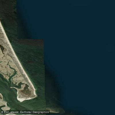
Bigelow Bight
Exeter River
Squamscott River

Sudbury River
Explore Massachusetts waters
Top paddling waters
Popular Cities
Loading popular cities...
Explore near Essex River
Access points
Nearby waters
More in Massachusetts

Smarter Paddling Starts in the App.
Paddleways gives you everything you need to plan smarter, paddle better, and own every trip from first launch to takeout.